Hopfenhorst
Located in Gardelegen, Altmarkkreis Salzwedel Coordinates: 52°27′32″ N 11°12′01″ E
- Elevation
- 56 m
- above sea level
- Local time
- UTC+01:00
- Europe/Berlin · UTC+01:00
- Airports
- HAJ Hannover Airport103 km
- LEJ Leipzig/Halle Airport136 km
About Hopfenhorst
Hopfenhorst is a village. Location: Gardelegen, Altmarkkreis Salzwedel. Elevation: 56 m. The best months to visit are June–August. The nearest airport is Hannover Airport (103 km). Nearby sights include Lausetannen and Kämkerhorst.
Photos of Hopfenhorst
-
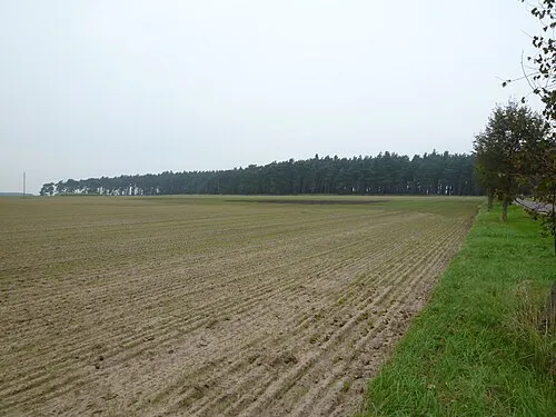
Lauseberg Nuxvonhier · Public domain

Climate of Hopfenhorst
Best months for sightseeingBest months for sightseeing: June–August.
This month · November
A cold month
Day 8° · Night 2° · Rain 45 mm
- Hottest month
- July (day 23°)
- Coldest month
- January (night -2°)
- Wettest month
- June (60 mm)
- Driest month
- February (34 mm)
Bars: average monthly low and high temperature. Below: precipitation. Monthly averages for 1970–2000 at about 18 km resolution, adjusted for elevation. Highlighted months are mild and relatively dry. Source: WorldClim 2.1 (CC BY 4.0).
Show values as a table
| Month | Jan | Feb | Mar | Apr | May | Jun | Jul | Aug | Sep | Oct | Nov | Dec |
|---|---|---|---|---|---|---|---|---|---|---|---|---|
| Average high (°C) | 3° | 4° | 8° | 13° | 19° | 21° | 23° | 23° | 19° | 14° | 8° | 4° |
| Average low (°C) | -2° | -2° | 1° | 3° | 8° | 11° | 12° | 12° | 9° | 5° | 2° | -1° |
| Precipitation (mm) | 41 | 34 | 40 | 39 | 52 | 60 | 60 | 57 | 44 | 39 | 45 | 47 |
How to get to Hopfenhorst
The nearest airport is Hannover Airport (HAJ), 103 km to the west as the crow flies. The nearest large city is Wolfsburg, 29 km to the west.
Airports
- Hannover Airport (HAJ) Hannover 103 kmwest
- Leipzig/Halle Airport (LEJ) Schkeuditz 136 kmsoutheast
- Lübeck Blankensee Airport (LBC) Lübeck 153 kmnorth
Nearby large cities
- Wolfsburg Population: 123.1K 29 kmwest
- Magdeburg Population: 244.3K 47 kmsoutheast
- Braunschweig Population: 244.7K 51 kmsouthwest
- Salzgitter Population: 105K 63 kmsouthwest
- Hanover Population: 515.1K 100 kmwest
Straight-line distances; road distances are longer. Airport data: OurAirports.
Day trips from Hopfenhorst
Within 100 km: 412 historic and cultural sites, 2,976 natural sites, 751 lakes, rivers and coasts.
0–25 km186 places
- Zißberg Mountain 18 kmN
- Ziegenberg Mountain 9 kmSW
- Zeethenscher Berg Mountain 15 kmE
- Zackelberg Mountain 24 kmSE
25–60 km957 places
- Sarre River 53 kmS
- Ehle River 45 kmSE
- Aue River 53 kmSW
- Zollau Lake 43 kmSE
60–100 km2,996 places
- Wiehe River 61 kmW
- Schalk River 87 kmSW
- Ehle River 65 kmS
- Aue River 60 kmSW
Straight-line distances.
Nearby attractions & nature
Everything nearby-
Lausetannen Natural site, Saxony-Anhalt2 km NW
-
Kämkerhorst Museum, Calvörde2.6 km S
-
Saaghorst Natural site, Saxony-Anhalt3.5 km SW
-
Jägerberg Mountain, Gardelegen6.8 km N
-
Windmühlenberg Mountain, Calvörde6.2 km S
-
Lauseberg Mountain, Calvörde6.9 km SE
Other cities and towns in Gardelegen


Sources & licences
Data last updated: