Eichholz
Located in Heiligenhafen, Kreis Ostholstein Coordinates: 54°22′55″ N 10°56′45″ E
- Elevation
- 5 m
- above sea level
- Airports
- LBC Lübeck Blankensee Airport66 km
- SGD Sønderborg Airport99 km
About Eichholz
Eichholz is a natural site. Location: Heiligenhafen, Kreis Ostholstein. The best months to visit are June–August. The nearest airport is Lübeck Blankensee Airport (66 km). Nearby sights include Steinwarder and Binnensee.
Climate of Eichholz
Best months for sightseeingBest months for sightseeing: June–August.
This month · November
A cold month
Day 7° · Night 3° · Rain 64 mm
- Hottest month
- July (day 21°)
- Coldest month
- January (night -1°)
- Wettest month
- July (67 mm)
- Driest month
- February (39 mm)
Bars: average monthly low and high temperature. Below: precipitation. Monthly averages for 1970–2000 at about 18 km resolution, adjusted for elevation. Highlighted months are mild and relatively dry. Source: WorldClim 2.1 (CC BY 4.0).
Show values as a table
| Month | Jan | Feb | Mar | Apr | May | Jun | Jul | Aug | Sep | Oct | Nov | Dec |
|---|---|---|---|---|---|---|---|---|---|---|---|---|
| Average high (°C) | 3° | 4° | 6° | 10° | 16° | 19° | 21° | 21° | 17° | 13° | 7° | 5° |
| Average low (°C) | -1° | -1° | 1° | 3° | 7° | 11° | 13° | 13° | 10° | 7° | 3° | 1° |
| Precipitation (mm) | 57 | 39 | 48 | 43 | 47 | 56 | 67 | 60 | 60 | 58 | 64 | 64 |
How to get to Eichholz
The nearest airport is Lübeck Blankensee Airport (LBC), 66 km to the south as the crow flies. The nearest large city is Kiel, 53 km to the west.
Airports
- Lübeck Blankensee Airport (LBC) Lübeck 66 kmsouth
- Sønderborg Airport (SGD) Sønderborg 99 kmnorthwest
- Rostock-Laage Airport (RLG) Laage 101 kmsoutheast
Nearby large cities
- Kiel Population: 252.7K 53 kmwest
- Lübeck Population: 212.2K 60 kmsouth
- Rostock Population: 198.3K 84 kmeast
- Odense Population: 180.9K 118 kmnorth
- Copenhagen Population: 1.2M 177 kmnortheast
Straight-line distances; road distances are longer. Airport data: OurAirports.
Day trips from Eichholz
Within 100 km: 182 historic and cultural sites, 1,845 natural sites, 999 lakes, rivers and coasts.
0–25 km152 places
- Fehmarn Island 16 kmNE
- Sehlendorfer Strand Beach 18 kmSW
- Warder Island 11 kmNE
- Gras Warder Island 4 kmE
25–60 km812 places
- Poel Island Island 53 kmSE
- Hundestrand Beach 40 kmS
- Hafen Strände Beach 50 kmW
- Strand Rosenhagen Beach 46 kmS
60–100 km2,062 places
- Als Island 94 kmNW
- Falster Island 81 kmNE
- Tåsinge Island 72 kmN
- Aeroe Island 68 kmNW
Straight-line distances.
Nearest towns and villages
-
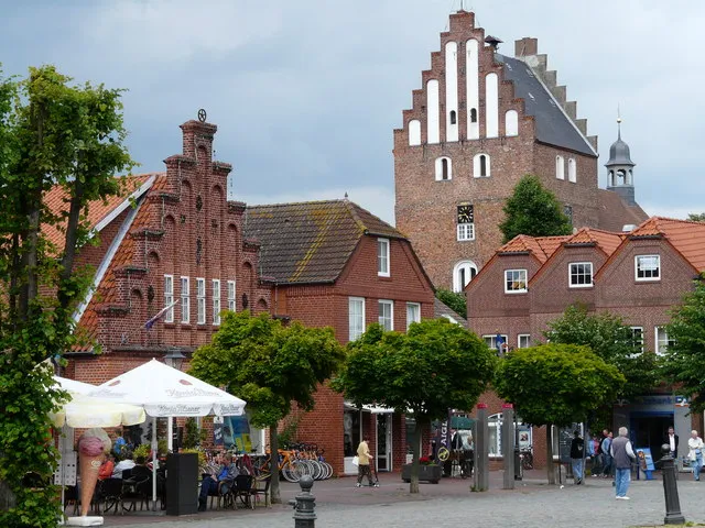 Heiligenhafen Town, Heiligenhafen2.4 km SE
-
Steinwarder Neighbourhood, Heiligenhafen1.7 km E
-
Altstadt Neighbourhood, Heiligenhafen2.5 km SE
-
 Gremersdorf Village, Kreis Ostholstein5.5 km S
-
Gremersdorf Village, Gremersdorf5.6 km S
-
Graswarder Village, Heiligenhafen3.4 km E
Nearby attractions & nature
Everything nearby-
Steinwarder Natural site, Heiligenhafen1.6 km E
-
Binnensee Lake, Schleswig-Holstein1.4 km SE
-
Gras Warder Island, Heiligenhafen4 km E
-
Wienberg Mountain, Gremersdorf8.2 km SW
-
Schassauer Holz Natural site, Oldenburg in Holstein9.6 km SW
-
Rauher Berg Mountain, Heringsdorf14 km SE
-
Eiskellerberg Mountain, Heringsdorf15 km SE
-
Krähenberg Mountain, Grube15 km SE
Sources & licences
Data last updated: