- Elevation
- -2 m
- above sea level
- Local time
- UTC+01:00
- Europe/Berlin · UTC+01:00
- Airports
- LBC Lübeck Blankensee Airport67 km
- RLG Rostock-Laage Airport98 km
About Gras Warder
Gras Warder is an island. Location: Heiligenhafen, Kreis Ostholstein. The best months to visit are June–August. The nearest airport is Lübeck Blankensee Airport (67 km). Nearby sights include Steinwarder and Binnensee.
Climate of Gras Warder
Best months for sightseeingBest months for sightseeing: June–August.
This month · November
A cold month
Day 7° · Night 3° · Rain 62 mm
- Hottest month
- August (day 21°)
- Coldest month
- January (night -1°)
- Wettest month
- July (65 mm)
- Driest month
- February (36 mm)
Bars: average monthly low and high temperature. Below: precipitation. Monthly averages for 1970–2000 at about 18 km resolution, adjusted for elevation. Highlighted months are mild and relatively dry. Source: WorldClim 2.1 (CC BY 4.0).
Show values as a table
| Month | Jan | Feb | Mar | Apr | May | Jun | Jul | Aug | Sep | Oct | Nov | Dec |
|---|---|---|---|---|---|---|---|---|---|---|---|---|
| Average high (°C) | 3° | 4° | 6° | 10° | 15° | 19° | 21° | 21° | 17° | 12° | 7° | 5° |
| Average low (°C) | -1° | -1° | 1° | 3° | 7° | 11° | 13° | 13° | 11° | 7° | 3° | 1° |
| Precipitation (mm) | 52 | 36 | 43 | 41 | 45 | 53 | 65 | 58 | 57 | 54 | 62 | 58 |
How to get to Gras Warder
The nearest airport is Lübeck Blankensee Airport (LBC), 67 km to the south as the crow flies. The nearest large city is Kiel, 57 km to the west.
Airports
- Lübeck Blankensee Airport (LBC) Lübeck 67 kmsouth
- Rostock-Laage Airport (RLG) Laage 98 kmsoutheast
- Sønderborg Airport (SGD) Sønderborg 102 kmnorthwest
Nearby large cities
- Kiel Population: 252.7K 57 kmwest
- Lübeck Population: 212.2K 60 kmsouth
- Rostock Population: 198.3K 81 kmsoutheast
- Odense Population: 180.9K 120 kmnorth
- Copenhagen Population: 1.2M 175 kmnortheast
Straight-line distances; road distances are longer. Airport data: OurAirports.
Day trips from Gras Warder
Within 100 km: 173 historic and cultural sites, 1,856 natural sites, 988 lakes, rivers and coasts.
0–25 km118 places
- Fehmarn Island 14 kmNE
- Sehlendorfer Strand Beach 22 kmW
- Warder Island 8 kmNE
- Kohlhofinsel Island 14 kmE
25–60 km806 places
- Poel Island Island 51 kmSE
- Hundestrand Beach 41 kmSW
- Hafen Strände Beach 54 kmW
- Strand Rosenhagen Beach 46 kmS
60–100 km2,093 places
- Als Island 97 kmNW
- Falster Island 78 kmNE
- Tåsinge Island 74 kmN
- Aeroe Island 71 kmNW
Straight-line distances.
Nearest towns and villages
-
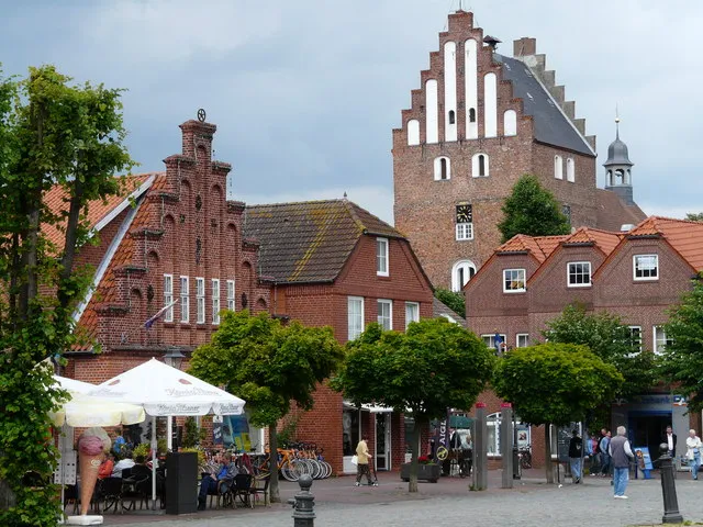 Heiligenhafen Town, Heiligenhafen2.2 km SW
-
Graswarder Village, Heiligenhafen0.6 km W
-
Ortmühle Village, Heiligenhafen1.4 km S
-
Strandhusen Village, Heiligenhafen1.6 km SE
-
Altstadt Neighbourhood, Heiligenhafen1.8 km SW
-
Großenbrode Village, Kreis Ostholstein5 km E
Nearby attractions & nature
Everything nearby-
Steinwarder Natural site, Heiligenhafen2.3 km W
-
Binnensee Lake, Schleswig-Holstein2.7 km W
-
Eichholz Natural site, Heiligenhafen4 km W
-
Warder Island, Fehmarn8.3 km NE
-
Sulsdorfer Wiek Lake, Fehmarn8.3 km N
-
Orther Bucht Natural site, Schleswig-Holstein7.5 km NE
-
Rauher Berg Mountain, Heringsdorf13 km S
-
Eiskellerberg Mountain, Heringsdorf13 km S
Sources & licences
Data last updated: