- Population
- 36,764
- 36.8K
- Elevation
- 36 m
- above sea level
- Local time
- UTC+01:00
- Europe/Berlin · UTC+01:00
- Airports
- BER Berlin Brandenburg Airport28 km
- LEJ Leipzig/Halle Airport148 km
About Tegel
Tegel is a neighbourhood. Location: Berlin, Berlin, Stadt. Population: 36,764. The best months to visit are May–August. The nearest airport is Berlin Brandenburg Airport (28 km). Nearby sights include Hasselwerder and Berlin-Reinickendorf Concentration Camp.
Photos of Tegel
-
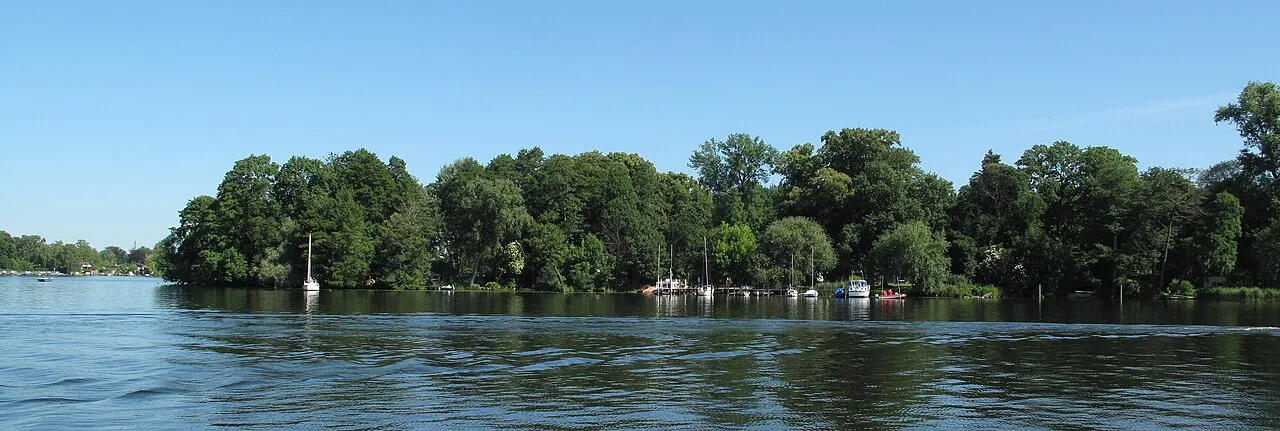
Valentinswerder Lienhard Schulz · CC BY-SA 3.0 -
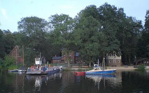
Scharfenberg Fridolin freudenfett · CC BY-SA 3.0 -
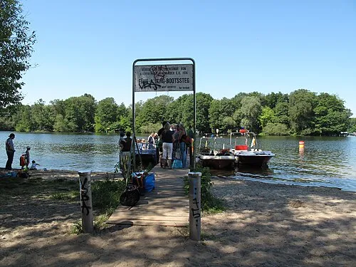
Reiswerder Lienhard Schulz · CC BY-SA 3.0 -
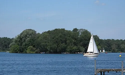
Lindwerder Lienhard Schulz · CC BY-SA 3.0 -
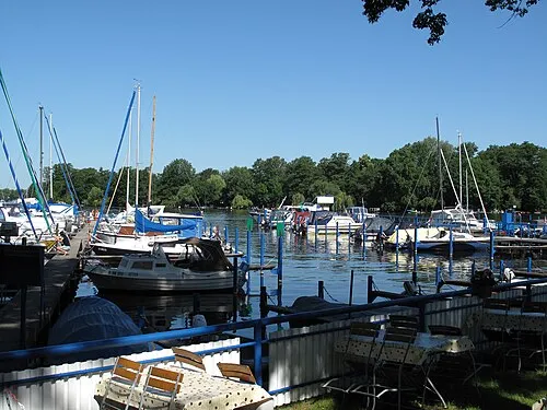
Maienwerder Lienhard Schulz · CC BY-SA 3.0


Climate of Tegel
Best months for sightseeingBest months for sightseeing: May–August.
This month · November
A cold month
Day 7° · Night 2° · Rain 43 mm
- Hottest month
- July (day 24°)
- Coldest month
- January (night -2°)
- Wettest month
- June (65 mm)
- Driest month
- February (34 mm)
Bars: average monthly low and high temperature. Below: precipitation. Monthly averages for 1970–2000 at about 18 km resolution, adjusted for elevation. Highlighted months are mild and relatively dry. Source: WorldClim 2.1 (CC BY 4.0).
Show values as a table
| Month | Jan | Feb | Mar | Apr | May | Jun | Jul | Aug | Sep | Oct | Nov | Dec |
|---|---|---|---|---|---|---|---|---|---|---|---|---|
| Average high (°C) | 3° | 4° | 8° | 13° | 19° | 22° | 24° | 23° | 18° | 13° | 7° | 4° |
| Average low (°C) | -2° | -2° | 1° | 4° | 9° | 12° | 14° | 13° | 10° | 6° | 2° | 0° |
| Precipitation (mm) | 41 | 34 | 41 | 37 | 51 | 65 | 54 | 56 | 43 | 37 | 43 | 54 |
How to get to Tegel
The nearest airport is Berlin Brandenburg Airport (BER), 28 km to the southeast as the crow flies. The nearest large city is Berlin, 10 km to the southeast.
Airports
- Berlin Brandenburg Airport (BER) Berlin 28 kmsoutheast
- Leipzig/Halle Airport (LEJ) Schkeuditz 148 kmsouthwest
- Solidarity Szczecin–Goleniów Airport (SZZ) Szczecin(Glewice) 156 kmnortheast
Nearby large cities
- Berlin Population: 3.4M 10 kmsoutheast
- Potsdam Population: 184.8K 25 kmsouthwest
- Magdeburg Population: 244.3K 124 kmsouthwest
- Halle Population: 237.9K 152 kmsouthwest
- Leipzig Population: 505K 151 kmsouthwest
Straight-line distances; road distances are longer. Airport data: OurAirports.
Day trips from Tegel
Within 100 km: 528 historic and cultural sites, 1,964 natural sites, 1,712 lakes, rivers and coasts.
0–25 km514 places
- Schlachtensee Lake 16 kmS
- Valentinswerder Island 4 kmW
- Scharfenberg Island 3 kmW
- Dahme River River 24 kmSE
25–60 km1,400 places
- Mittelbruch Island 52 kmW
- Freundschaftsinsel Island 25 kmSW
- Buhnenwerder Island 59 kmW
- Der Raatz Island 54 kmN
60–100 km2,290 places
- Strandbad Beach 66 kmNE
- Großer Horst Island 76 kmNW
- Burgwallinsel Island 77 kmNE
- Wolletzseeinseln Island 64 kmNE
Straight-line distances.
Nearby attractions & nature
Everything nearby-
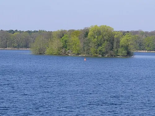 Hasselwerder Island, State of Berlin2.2 km NW
-
Berlin-Reinickendorf Concentration Camp Historic site, Berlin1 km W
-
Flughafensee Lake, Berlin1.1 km SW
-
Lindwerder Island, State of Berlin2.8 km W
-
Berlin-Tegel Concentration Camp Historic site, Berlin1.4 km NW
-
Reiswerder Island, State of Berlin3 km W
Other cities and towns in Berlin
-
Märkisches Viertel Neighbourhood, Berlin5 km NE
-
 Moabit Neighbourhood, Berlin6.3 km SE
-
 Siemensstadt Neighbourhood, Berlin4.5 km SW
-
 Charlottenburg-Nord Neighbourhood, Berlin4.8 km S
-
 Heiligensee Neighbourhood, Berlin5.4 km NW
-
Haselhorst Neighbourhood, Berlin5.2 km SW
Sources & licences
Data last updated: