- Elevation
- 978 m
- above sea level
- Local time
- UTC+01:00
- Europe/Berlin · UTC+01:00
- Airports
- ERF Erfurt-Weimar Airport37 km
- KSF Kassel Airport128 km
About Schneekopf
Schneekopf is a mountain. Location: Suhl, Kreisfreie Stadt Suhl. Elevation: 978 m.
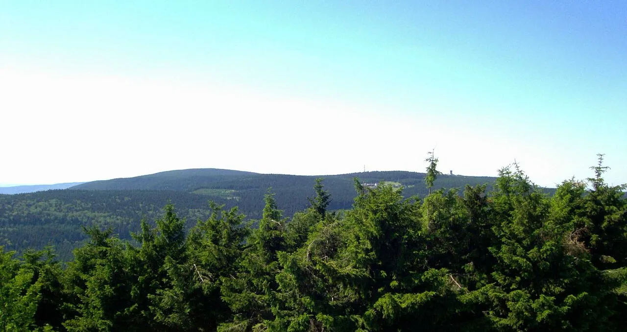
The Schneekopf (German pronunciation: [ˈʃneːˌkɔpf]) near Gehlberg in the Thuringian county of Ilm-Kreis is 978 m above sea level (NHN) and thus the second highest peak in the Thuringian Forest after its western neighbour, the Großer Beerberg (983 m). The Adler Saddle between them is only about 59.4 metres lower than the two summits. To the east some distance away is its subpeak, the Sachsenstein (915 m), to the south are the Teufelskreise (967 m) and Fichtenkopf (944 m).
Source: Wikipedia · CC BY-SA 4.0
At a glance
- Topographic prominence
- 61 m
Source: Wikidata
Photos of Schneekopf
-

Martin Schmidt · CC BY-SA 4.0 -

Stephan van Helden · CC BY-SA 4.0 -

Stephan van Helden · CC BY-SA 4.0 -

Kvikk · CC BY-SA 4.0 -

Hev · Public domain


Climate of Schneekopf
Best months for sightseeingBest months for sightseeing: June–August.
This month · November
A cold month
Day 2° · Night -3° · Rain 88 mm
- Hottest month
- July (day 18°)
- Coldest month
- January (night -7°)
- Wettest month
- July (101 mm)
- Driest month
- April (66 mm)
Bars: average monthly low and high temperature. Below: precipitation. Monthly averages for 1970–2000 at about 18 km resolution, adjusted for elevation. Highlighted months are mild and relatively dry. Source: WorldClim 2.1 (CC BY 4.0).
Show values as a table
| Month | Jan | Feb | Mar | Apr | May | Jun | Jul | Aug | Sep | Oct | Nov | Dec |
|---|---|---|---|---|---|---|---|---|---|---|---|---|
| Average high (°C) | -2° | -1° | 3° | 7° | 13° | 16° | 18° | 18° | 13° | 8° | 2° | -1° |
| Average low (°C) | -7° | -7° | -4° | -1° | 4° | 7° | 9° | 8° | 5° | 1° | -3° | -5° |
| Precipitation (mm) | 83 | 73 | 82 | 66 | 76 | 77 | 101 | 80 | 80 | 74 | 88 | 100 |
How to get to Schneekopf
The nearest airport is Erfurt-Weimar Airport (ERF), 37 km to the north as the crow flies. The nearest large city is Erfurt, 40 km to the northeast.
Airports
- Erfurt-Weimar Airport (ERF) Erfurt 37 kmnorth
- Kassel Airport (KSF) Calden 128 kmnorthwest
- Nuremberg Airport (NUE) Nuremberg 132 kmsouth
Nearby large cities
- Erfurt Population: 218.8K 40 kmnortheast
- Jena Population: 104.7K 65 kmnortheast
- Gera Population: 104.7K 96 kmeast
- Göttingen Population: 122.1K 113 kmnorthwest
- Würzburg Population: 133.7K 113 kmsouthwest
Straight-line distances; road distances are longer. Airport data: OurAirports.
Day trips from Schneekopf
Within 100 km: 777 historic and cultural sites, 5,074 natural sites, 824 lakes, rivers and coasts.
0–25 km501 places
- Talsperre Schönbrunn Lake 15 kmSE
- Ohratalsperre Lake 11 kmN
- Goldisthal Unterbecken Lake 25 kmSE
- Lütschestausee Lake 8 kmN
25–60 km2,061 places
- Buchenwald concentration camp Historic site 52 kmNE
- Felda River 52 kmW
- Sieblebener Teich Lake 30 kmN
- Talsperre Schwickershausen Lake 36 kmSW
60–100 km4,113 places
- Waldstadion Weismain Landmark 73 kmSE
- Roda River 64 kmNE
- Roda River 63 kmE
- Frieda River 73 kmNW
Straight-line distances.
Nearest towns and villages

Nearby attractions & nature
Everything nearby-
Brand Mountain, Suhl1.2 km E
-
Fichtenkopf Mountain, Suhl1.8 km S
-
Unterer Beerberg Mountain, Suhl2 km SW
-
Oberer Beerberg Mountain, Suhl2 km SW
-
Beerberge Mountain, Thuringia2 km SW
-
Großer Beerberg Mountain, Suhl1.6 km SW
-
Forst Gehlberg Natural site, Thuringia2.4 km NE
-
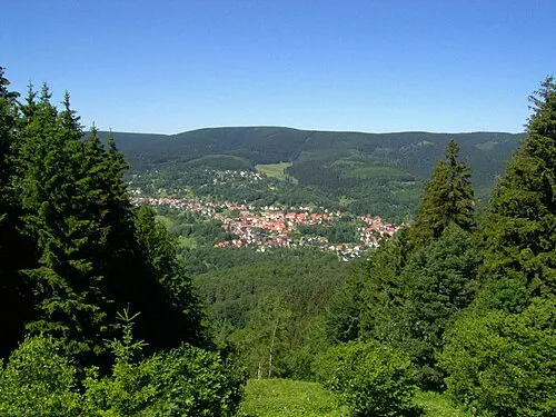 Thuringian Forest Mountain, Germany4.9 km E
Sources & licences
Data last updated: · 2 independent sources