Gerakas
Local name: Γέρακας
Located in Pallini, Nomarchía Anatolikís Attikís Coordinates: 38°01′22″ N 23°51′27″ E
- Population
- 29,939
- 29.9K
- Elevation
- 250 m
- above sea level
- Local time
- UTC+02:00
- Europe/Athens · UTC+02:00
- Airports
- ATH Athens Eleftherios Venizelos International Airport12 km
- JSI Skiathos Island National Airport132 km
About Gerakas
Gerakas is a town. Location: Pallini, Nomarchía Anatolikís Attikís. Population: 29,939. Elevation: 250 m.
Gerakas (Greek: Γέρακας) is a town, a suburb of Athens and a former municipality in East Attica, Greece. Since the 2011 local government reform it is part of the municipality Pallini, of which it is the seat and a municipal unit. In antiquity, Gerakas constituted the Athenian Mesogeia deme of Gargettus, in the tribe of Aigeis, according to the administrative model of Cleisthenes. Today, it is a rapidly developing city of the northern mesogea and the eastern gate to the Athens basin.
Source: Wikipedia · CC BY-SA 4.0
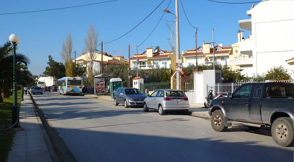
Photos of Gerakas
-

Grzegorz Wysocki · CC BY 3.0

Places bordering Gerakas
- Chalandri
Population of Gerakas over time
| 1991 | 8,451 | |
|---|---|---|
| 2001 | 13,990 | |
| 2011 | 29,939 | |
| 2021 | 33,856 |
Censuses and official estimates; source: Wikidata.
Climate of Gerakas
Best months for sightseeingBest months for sightseeing: May, September–October.
This month · November
Outside the best season
Day 17° · Night 10° · Rain 65 mm
- Hottest month
- July (day 31°)
- Coldest month
- January (night 6°)
- Wettest month
- December (84 mm)
- Driest month
- July (7 mm)
Bars: average monthly low and high temperature. Below: precipitation. Monthly averages for 1970–2000 at about 18 km resolution, adjusted for elevation. Highlighted months are mild and relatively dry. Source: WorldClim 2.1 (CC BY 4.0).
Show values as a table
| Month | Jan | Feb | Mar | Apr | May | Jun | Jul | Aug | Sep | Oct | Nov | Dec |
|---|---|---|---|---|---|---|---|---|---|---|---|---|
| Average high (°C) | 12° | 12° | 14° | 18° | 24° | 29° | 31° | 30° | 27° | 22° | 17° | 13° |
| Average low (°C) | 6° | 6° | 7° | 10° | 14° | 19° | 21° | 21° | 18° | 14° | 10° | 7° |
| Precipitation (mm) | 65 | 63 | 58 | 33 | 22 | 11 | 7 | 8 | 14 | 54 | 65 | 84 |
How to get to Gerakas
The nearest airport is Athens Eleftherios Venizelos International Airport (ATH), 12 km to the southeast as the crow flies. The nearest large city is Athens, 12 km to the west.
Airports
- Athens Eleftherios Venizelos International Airport (ATH) Spata-Artemida 12 kmsoutheast
- Skiathos Island National Airport (JSI) Skiathos 132 kmnorth
- Mykonos Island National Airport (JMK) Mykonos 147 kmsoutheast
Nearby large cities
- Athens Population: 664K 12 kmwest
- Piraeus Population: 163.7K 21 kmsouthwest
- Çiğli Population: 214.1K 286 kmeast
- Konak Population: 332.3K 287 kmeast
- Cordaleo Population: 339.6K 289 kmeast
Straight-line distances; road distances are longer. Airport data: OurAirports.
Day trips from Gerakas
Within 100 km: 28 historic and cultural sites, 3 natural sites, 34 lakes, rivers and coasts.
0–25 km15 places
- Pnyx Mountain 13 kmSW
- Moní Chrysovalántou Attraction 9 kmNW
- Agia Fotini Attraction 15 kmSW
- Kerameikos Historic site 13 kmW
25–60 km19 places
- Euboea Island 54 kmN
- Agistri Island 58 kmSW
- Moní Agíou Ierothéou Attraction 52 kmW
- Makrónisos Island 42 kmSW
60–100 km31 places
- Moní Metamorfóseos Sotíros Attraction 74 kmN
- Moni Mantzari Attraction 65 kmN
- Moní Agíou Charalámpous Attraction 60 kmNE
- Galenthi Island 69 kmSW
Straight-line distances.
Nearby attractions & nature
Everything nearby-
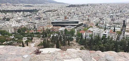 Acropolis Museum Museum, Athens13 km SW
-
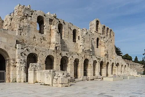 Odeon of Herodes Atticus Historic site, Athens13 km SW
-
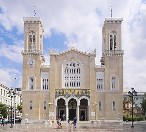 Metropolitan Cathedral of Athens Attraction, Athens12 km SW
-
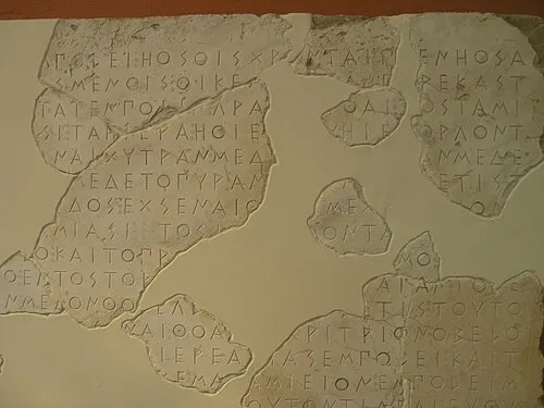 Epigraphical Museum Museum, Athens12 km W
-
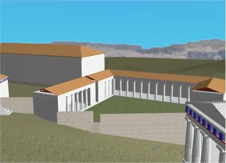 Sanctuary of Artemis Brauronia Historic site, Athens13 km SW
-
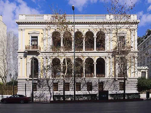 Numismatic Museum of Athens Museum, Athens12 km SW
-
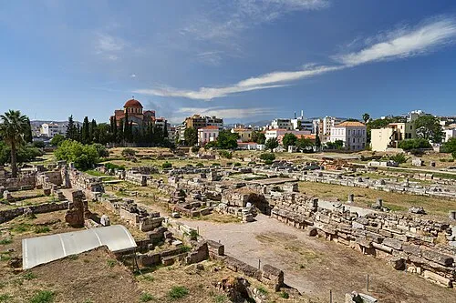 Kerameikos Historic site, Athens13 km W
-
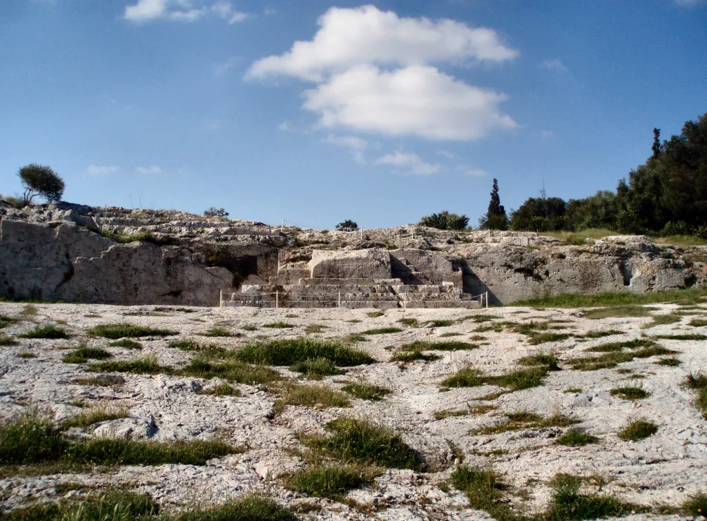 Pnyx Mountain, Athens13 km SW
Sources & licences
Data last updated: · 2 independent sources