Makrylongos
Located in Troizinia-Methana, Nomós Piraiós Coordinates: 37°37′18″ N 23°21′28″ E
- Population
- 24
- 24
- Elevation
- 395 m
- above sea level
- Local time
- UTC+02:00
- Europe/Athens · UTC+02:00
- Airports
- ATH Athens Eleftherios Venizelos International Airport62 km
- KLX Kalamata Airport133 km
About Makrylongos
Makrylongos is a village. Location: Troizinia-Methana, Nomós Piraiós. Population: 24. Elevation: 395 m. The best months to visit are May–June, September–October. The nearest airport is Athens Eleftherios Venizelos International Airport (62 km). Nearby sights include Agistri and Nisída Daskalió.
Photos of Makrylongos
-
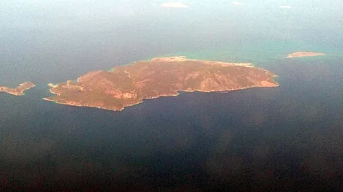
Agistri Geraki · CC BY-SA 4.0

Climate of Makrylongos
Best months for sightseeingBest months for sightseeing: May–June, September–October.
This month · November
Outside the best season
Day 16° · Night 9° · Rain 75 mm
- Hottest month
- July (day 29°)
- Coldest month
- February (night 5°)
- Wettest month
- December (81 mm)
- Driest month
- July (6 mm)
Bars: average monthly low and high temperature. Below: precipitation. Monthly averages for 1970–2000 at about 18 km resolution, adjusted for elevation. Highlighted months are mild and relatively dry. Source: WorldClim 2.1 (CC BY 4.0).
Show values as a table
| Month | Jan | Feb | Mar | Apr | May | Jun | Jul | Aug | Sep | Oct | Nov | Dec |
|---|---|---|---|---|---|---|---|---|---|---|---|---|
| Average high (°C) | 11° | 11° | 13° | 17° | 22° | 27° | 29° | 29° | 26° | 21° | 16° | 12° |
| Average low (°C) | 5° | 5° | 6° | 9° | 13° | 17° | 20° | 20° | 17° | 13° | 9° | 7° |
| Precipitation (mm) | 62 | 60 | 56 | 33 | 18 | 8 | 6 | 9 | 11 | 52 | 75 | 81 |
Other places to visit in this season: May June September October
How to get to Makrylongos
The nearest airport is Athens Eleftherios Venizelos International Airport (ATH), 62 km to the northeast as the crow flies. The nearest large city is Piraeus, 44 km to the northeast.
Airports
- Athens Eleftherios Venizelos International Airport (ATH) Spata-Artemida 62 kmnortheast
- Kalamata Airport (KLX) Kalamata 133 kmsouthwest
- Skiathos Island National Airport (JSI) Skiathos 173 kmnorth
Nearby large cities
- Piraeus Population: 163.7K 44 kmnortheast
- Athens Population: 664K 52 kmnortheast
- Konak Population: 332.3K 340 kmeast
- Çiğli Population: 214.1K 340 kmeast
- Karabağlar Population: 479.3K 342 kmeast
Straight-line distances; road distances are longer. Airport data: OurAirports.
Day trips from Makrylongos
Within 100 km: 29 historic and cultural sites, 4 natural sites, 32 lakes, rivers and coasts.
0–25 km14 places
- Agistri Island 8 kmN
- Makrónisos Island 23 kmN
- Galenthi Island 19 kmSE
- Nisída Trachíli Island 19 kmNW
25–60 km37 places
- Pnyx Mountain 50 kmNE
- Moní Agíou Ierothéou Attraction 44 kmN
- Moní Agíon Pánton Attraction 45 kmSW
- Agia Fotini Attraction 48 kmNE
60–100 km14 places
- Ierá Moní Agíou Nikoláou Kaltezón Attraction 99 kmW
- Moní Chrysovalántou Attraction 63 kmNE
- Agia Triada Attraction 98 kmE
- Panagia Nikous Attraction 98 kmE
Straight-line distances.
Nearby attractions & nature
Everything nearby-
Agistri Island, Attica7.9 km N
-
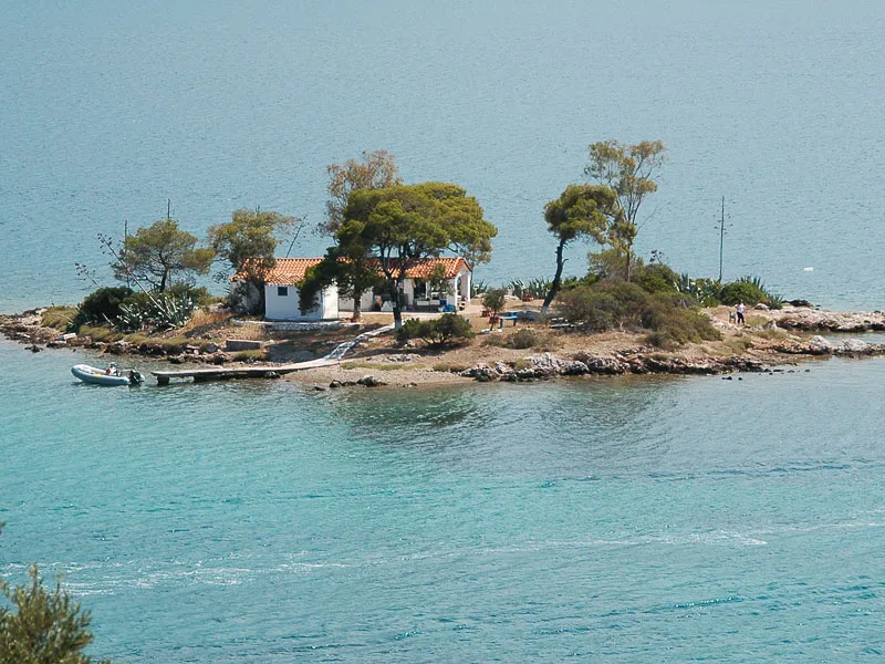 Nisída Daskalió Island, Attica13 km SE
-
Nisída Bísti Island, Attica14 km SE
-
Nisída Arvanítis Island, Attica18 km SE
-
Nisída Plateiá Island, Attica14 km E
-
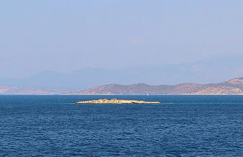 Nisída Gáïdaros Island, Attica23 km NE
Sources & licences
Data last updated: