Hosios Loukas
Local name: Μονή Οσίου Λουκά
Located in Distomo-Arachova-Antikyra, Nomós Voiotías Coordinates: 38°23′43″ N 22°44′48″ E
- Local time
- UTC+02:00
- Europe/Athens · UTC+02:00
- Elevation
- 446 m
- above sea level
- Airports
- VOL Nea Anchialos National Airport92 km
- JSI Skiathos Island National Airport109 km
About Hosios Loukas
Hosios Loukas is a tourist attraction. Location: Distomo-Arachova-Antikyra, Nomós Voiotías. Population: 6.
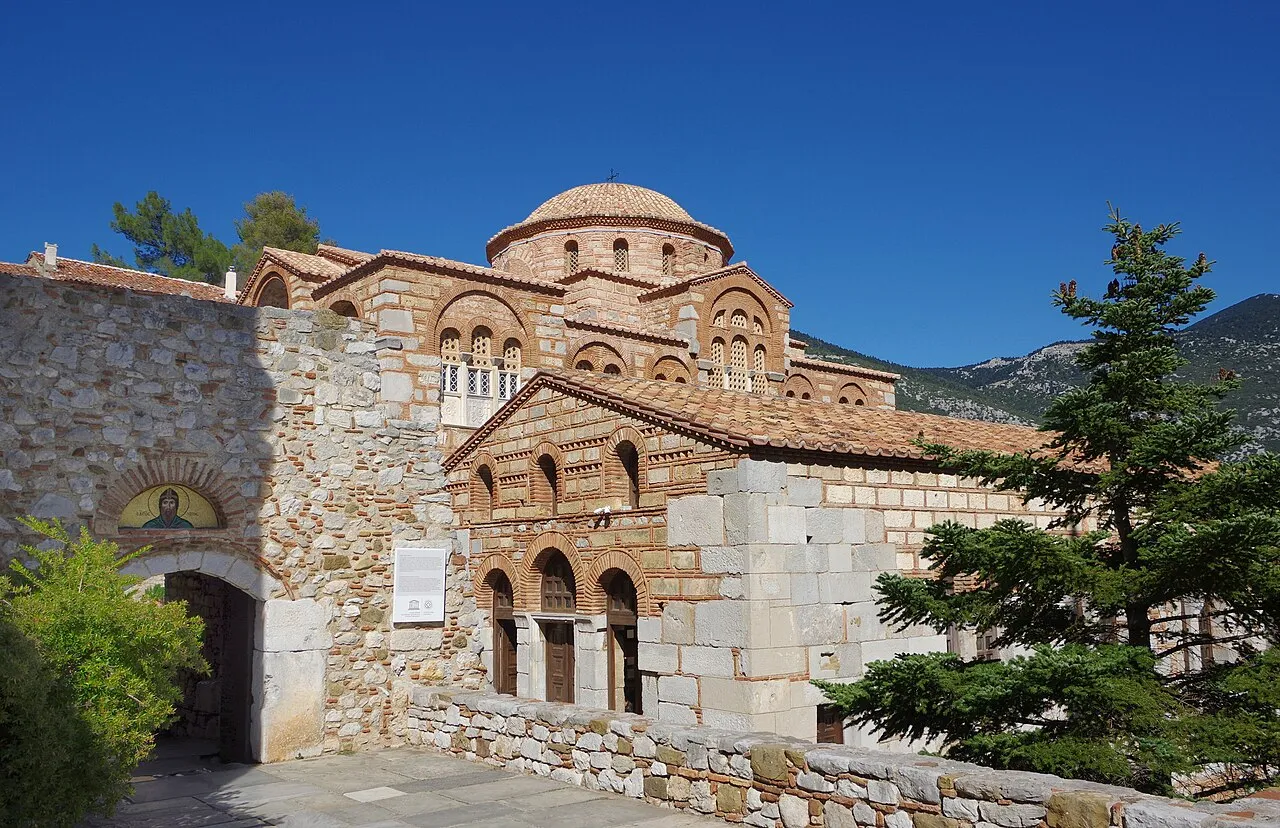
Hosios Loukas (Greek: Ὅσιος Λουκᾶς) is a historic walled monastery situated near the town of Distomo, in Boeotia, Greece. Founded in the mid-10th century, the monastery is one of the most important monuments of Middle Byzantine architecture and art, and has been listed on UNESCO's World Heritage Sites since 1990, along with the monasteries of Nea Moni and Daphnion.
Source: Wikipedia · CC BY-SA 4.0
At a glance
- Built
- 10th century
- Architectural style
- Byzantine architecture
- Heritage designation
- archaeological site in Greece, part of UNESCO World Heritage Site
- Official website
- osiosloukas.gr
Source: Wikidata
Photos of Hosios Loukas
-

Panosmyr · CC BY-SA 4.0 -

Jvallmitjaa · CC0


Climate of Hosios Loukas
Best months for sightseeingBest months for sightseeing: May, September.
This month · November
Outside the best season
Day 15° · Night 7° · Rain 88 mm
- Hottest month
- July (day 31°)
- Coldest month
- January (night 3°)
- Wettest month
- December (105 mm)
- Driest month
- July (15 mm)
Bars: average monthly low and high temperature. Below: precipitation. Monthly averages for 1970–2000 at about 18 km resolution, adjusted for elevation. Highlighted months are mild and relatively dry. Source: WorldClim 2.1 (CC BY 4.0).
Show values as a table
| Month | Jan | Feb | Mar | Apr | May | Jun | Jul | Aug | Sep | Oct | Nov | Dec |
|---|---|---|---|---|---|---|---|---|---|---|---|---|
| Average high (°C) | 10° | 10° | 13° | 17° | 23° | 28° | 31° | 30° | 26° | 21° | 15° | 11° |
| Average low (°C) | 3° | 3° | 4° | 7° | 12° | 16° | 18° | 18° | 14° | 11° | 7° | 4° |
| Precipitation (mm) | 82 | 80 | 72 | 52 | 36 | 22 | 15 | 18 | 28 | 73 | 88 | 105 |
How to get to Hosios Loukas
The nearest airport is Nea Anchialos National Airport (VOL), 92 km to the north as the crow flies. For international flights: Athens Eleftherios Venizelos International Airport (ATH) (117 km). The nearest large city is Piraeus, 94 km to the southeast.
Airports
- Nea Anchialos National Airport (VOL) Nea Anchialos 92 kmnorth
- Skiathos Island National Airport (JSI) Skiathos 109 kmnortheast
- Athens Eleftherios Venizelos International Airport (ATH) Spata-Artemida 117 kmsoutheast
Nearby large cities
- Piraeus Population: 163.7K 94 kmsoutheast
- Athens Population: 664K 97 kmsoutheast
- Çanakkale Population: 143.6K 372 kmnortheast
- Çiğli Population: 214.1K 378 kmeast
- Konak Population: 332.3K 380 kmeast
Straight-line distances; road distances are longer. Airport data: OurAirports.
Day trips from Hosios Loukas
Within 100 km: 30 historic and cultural sites, 5 natural sites, 17 lakes, rivers and coasts.
0–25 km2 places
- Ierá Moní Odigítrias Attraction 21 kmN
- Medieval Castle of Livadia Historic site 12 kmE
25–60 km7 places
- Moní Genesíou Theotókou Damástas Attraction 48 kmNW
- Makronísi Island 33 kmSE
- Ágios Nikolaos Island 44 kmNE
- Ákra Dhrépanon Natural site 53 kmN
60–100 km43 places
- Agistri Island 94 kmSE
- Pnyx Mountain 97 kmSE
- Moní Agíou Ierothéou Attraction 63 kmSE
- Moni Osiou David Attraction 68 kmNE
Straight-line distances.
Nearby attractions & nature
Everything nearby-
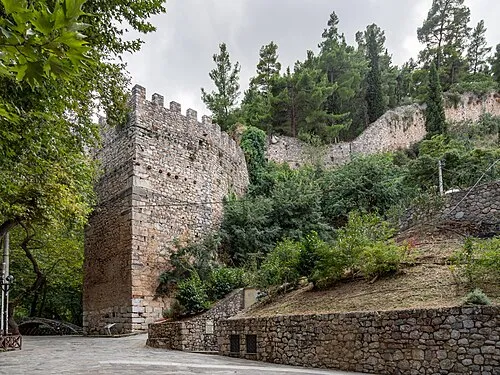 Medieval Castle of Livadia Historic site, Livadeia12 km E
-
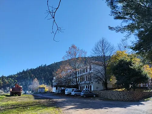 Ierá Moní Odigítrias Attraction, Amfikleia-Elateia21 km N
Nearest towns and villages
Sources & licences
Data last updated: · 2 independent sources