Plataies
Local name: Πλαταιές
Located in Thebes, Nomós Voiotías Coordinates: 38°12′49″ N 23°16′03″ E
- Population
- 3,602
- 3.6K
- Elevation
- 368 m
- above sea level
- Local time
- UTC+02:00
- Europe/Athens · UTC+02:00
- Airports
- ATH Athens Eleftherios Venizelos International Airport67 km
- JSI Skiathos Island National Airport109 km
About Plataies
Plataies is a village. Location: Thebes, Nomós Voiotías. Population: 3,602. Elevation: 368 m.
Plataies (Greek: Πλαταιές), anciently Kokhla, is a village and a former municipality in Boeotia, Greece. Since the 2011 local government reform it is part of the municipality Thebes, of which it is a municipal unit. The municipal unit has an area of 172.533 km2, the community 37.321 km2. Population 3,602 (2021). The seat of the former municipality was in Kaparelli. The village is next to the ruins of the ancient city of Plataea and near the site of the Battle of Plataea.
Source: Wikipedia · CC BY-SA 4.0
Population of Plataies over time
| 1991 | 1,122 | |
|---|---|---|
| 2001 | 883 | |
| 2011 | 944 | |
| 2021 | 829 |
Censuses and official estimates; source: Wikidata.
Climate of Plataies
Best months for sightseeingBest months for sightseeing: May, September–October.
This month · November
Outside the best season
Day 16° · Night 7° · Rain 75 mm
- Hottest month
- July (day 31°)
- Coldest month
- January (night 3°)
- Wettest month
- December (98 mm)
- Driest month
- July (10 mm)
Bars: average monthly low and high temperature. Below: precipitation. Monthly averages for 1970–2000 at about 18 km resolution, adjusted for elevation. Highlighted months are mild and relatively dry. Source: WorldClim 2.1 (CC BY 4.0).
Show values as a table
| Month | Jan | Feb | Mar | Apr | May | Jun | Jul | Aug | Sep | Oct | Nov | Dec |
|---|---|---|---|---|---|---|---|---|---|---|---|---|
| Average high (°C) | 11° | 11° | 13° | 18° | 23° | 29° | 31° | 30° | 27° | 21° | 16° | 12° |
| Average low (°C) | 3° | 3° | 5° | 8° | 12° | 16° | 18° | 18° | 15° | 11° | 7° | 5° |
| Precipitation (mm) | 75 | 71 | 68 | 42 | 29 | 18 | 10 | 14 | 22 | 68 | 75 | 98 |
How to get to Plataies
The nearest airport is Athens Eleftherios Venizelos International Airport (ATH), 67 km to the southeast as the crow flies. The nearest large city is Piraeus, 45 km to the southeast.
Airports
- Athens Eleftherios Venizelos International Airport (ATH) Spata-Artemida 67 kmsoutheast
- Skiathos Island National Airport (JSI) Skiathos 109 kmnorth
- Nea Anchialos National Airport (VOL) Nea Anchialos 119 kmnorth
Nearby large cities
- Piraeus Population: 163.7K 45 kmsoutheast
- Athens Population: 664K 48 kmsoutheast
- Çiğli Population: 214.1K 334 kmeast
- Konak Population: 332.3K 336 kmeast
- Cordaleo Population: 339.6K 337 kmeast
Straight-line distances; road distances are longer. Airport data: OurAirports.
Day trips from Plataies
Within 100 km: 30 historic and cultural sites, 5 natural sites, 30 lakes, rivers and coasts.
0–25 km4 places
- Moní Agíou Ierothéou Attraction 23 kmS
- Makronísi Island 24 kmW
- Moní Gorgoepikóou Attraction 24 kmSE
- Archaeological Museum of Thebes Museum 13 kmN
25–60 km32 places
- Agistri Island 58 kmS
- Pnyx Mountain 48 kmSE
- Hosios Loukas Attraction 50 kmNW
- Makrónisos Island 47 kmS
60–100 km29 places
- Euboea Island 71 kmNE
- Ierá Moní Odigítrias Attraction 65 kmNW
- Moní Metamorfóseos Sotíros Attraction 89 kmNE
- Moni Mantzari Attraction 86 kmNE
Straight-line distances.
Nearby attractions & nature
Everything nearby-
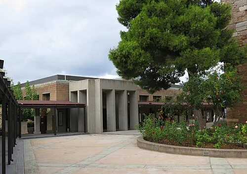 Archaeological Museum of Thebes Museum, Thebes13 km N
-
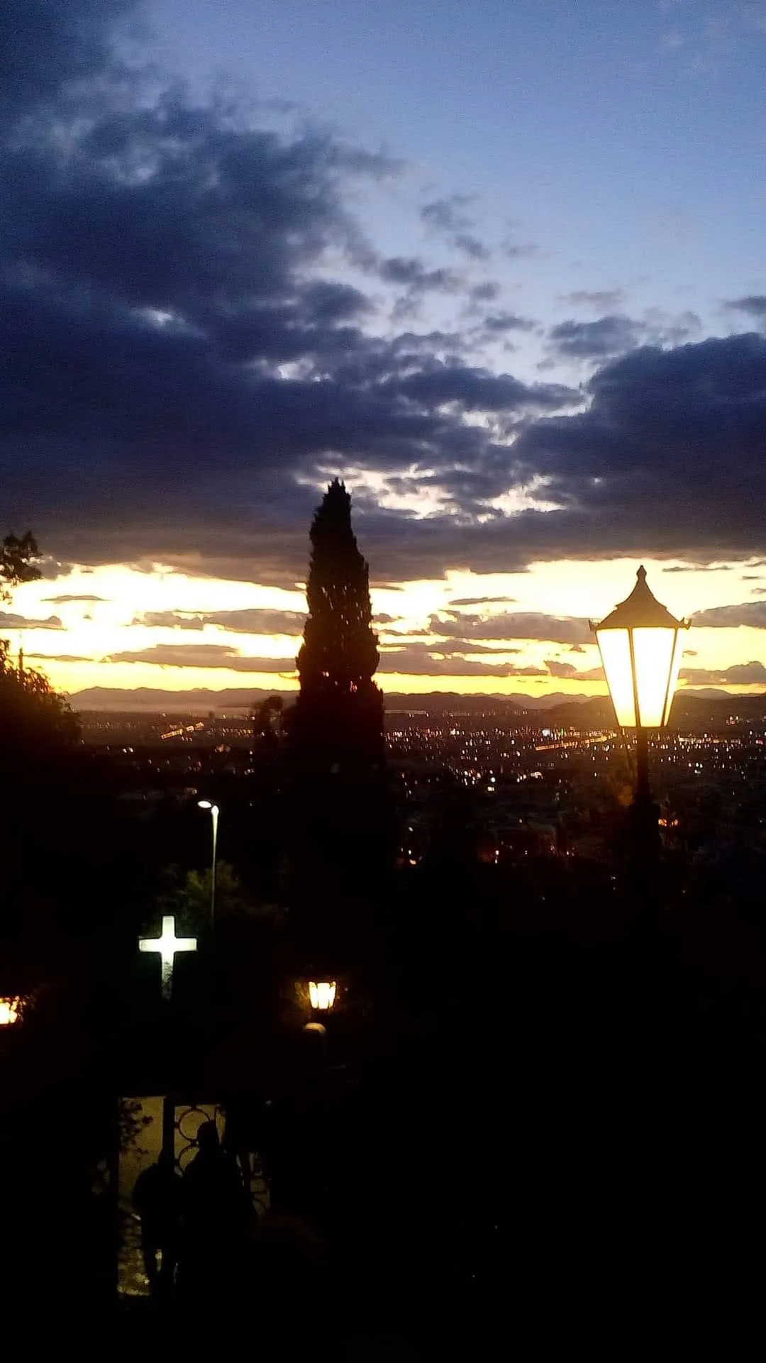 Moní Gorgoepikóou Attraction, Mandra-Eidyllia24 km SE
-
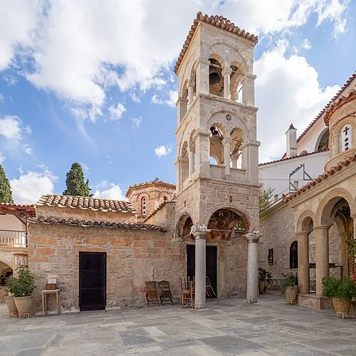 Moní Agíou Ierothéou Attraction, Megara23 km S
-
Makronísi Island, Central Greece24 km W
Sources & licences
Data last updated: · 2 independent sources