Chortiatis
Local name: Χορτιάτης
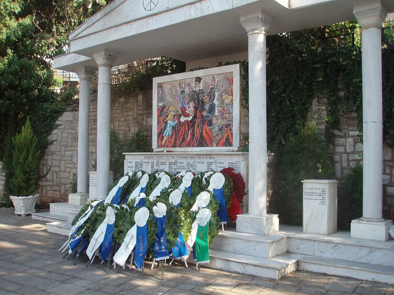
Located in Pylaia-Chortiatis, Thessaloniki Coordinates: 40°36′34″ N 23°06′01″ E
- Population
- 17,862
- 17.9K
- Elevation
- 551 m
- above sea level
- Local time
- UTC+02:00
- Europe/Athens · UTC+02:00
- Airports
- SKG Thessaloniki Macedonia International Airport15 km
- KZI Kozani National Airport Filippos113 km
About Chortiatis
Chortiatis is a town. Location: Pylaia-Chortiatis, Thessaloniki. Population: 17,862. Elevation: 551 m.
Chortiatis (Greek: Χορτιάτης) is a suburb and a former municipality in the Thessaloniki regional unit, Greece. Since the 2011 Kallikratis local government reform it is part of the municipality Pylaia-Chortiatis, of which it is a municipal unit. It lies at 600 metres altitude on the slopes of the Mount Chortiatis, from which it takes its name. The municipal unit Chortiatis has an area of 109.934 km2, and the community Chortiatis has an area of 57.315 km2.
Source: Wikipedia · CC BY-SA 4.0
Photos of Chortiatis
-

PLAKLE · CC BY-SA 4.0 -

PLAKLE · CC BY-SA 4.0 -

Протоге? · CC BY-SA 4.0 -

Протоге? · CC BY-SA 4.0 -
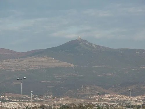
Kissos Christaras A · CC BY 3.0


Population of Chortiatis over time
| 1991 | 1,865 | |
|---|---|---|
| 2001 | 2,913 | |
| 2011 | 4,873 | |
| 2021 | 4,515 |
Censuses and official estimates; source: Wikidata.
Climate of Chortiatis
Best months for sightseeingBest months for sightseeing: May–June, September.
This month · November
A cold month
Day 11° · Night 3° · Rain 55 mm
- Hottest month
- July (day 29°)
- Coldest month
- January (night -2°)
- Wettest month
- November (55 mm)
- Driest month
- August (26 mm)
Bars: average monthly low and high temperature. Below: precipitation. Monthly averages for 1970–2000 at about 18 km resolution, adjusted for elevation. Highlighted months are mild and relatively dry. Source: WorldClim 2.1 (CC BY 4.0).
Show values as a table
| Month | Jan | Feb | Mar | Apr | May | Jun | Jul | Aug | Sep | Oct | Nov | Dec |
|---|---|---|---|---|---|---|---|---|---|---|---|---|
| Average high (°C) | 6° | 8° | 11° | 16° | 22° | 27° | 29° | 28° | 24° | 18° | 11° | 7° |
| Average low (°C) | -2° | -1° | 2° | 6° | 10° | 14° | 16° | 16° | 12° | 8° | 3° | 0° |
| Precipitation (mm) | 35 | 38 | 39 | 40 | 46 | 36 | 31 | 26 | 27 | 47 | 55 | 47 |
How to get to Chortiatis
The nearest airport is Thessaloniki Macedonia International Airport (SKG), 15 km to the southwest as the crow flies. The nearest large city is Plovdiv, 220 km to the northeast.
Airports
- Thessaloniki Macedonia International Airport (SKG) Thessaloniki 15 kmsouthwest
- Kozani National Airport Filippos (KZI) Kozani 113 kmwest
- Kavala Alexander the Great International Airport (KVA) Kavala 133 kmeast
Nearby large cities
- Plovdiv Population: 329.5K 220 kmnortheast
- Sofia Population: 1.2M 233 kmnorth
- Çanakkale Population: 143.6K 286 kmeast
- Stara Zagora Population: 121.6K 293 kmnortheast
- Athens Population: 664K 297 kmsouth
Straight-line distances; road distances are longer. Airport data: OurAirports.
Day trips from Chortiatis
Within 100 km: 17 historic and cultural sites, 3 natural sites, 24 lakes, rivers and coasts.
0–25 km8 places
- Kissos Mountain 3 kmSE
- Panagia Dexia Attraction 13 kmW
- Thessaloniki Concert Hall Attraction 13 kmW
- Saloniki Baron Hirsch Ghetto Historic site 14 kmW
25–60 km8 places
- Amygdalochóri Historic site 55 kmNE
- Makryótissa Historic site 53 kmN
- Monastery of Agios Athanasios Sfinissis Attraction 53 kmW
- Dionisiou Beach Beach 43 kmS
60–100 km28 places
- Kapnótopos Historic site 88 kmN
- Spalathronísia Island 89 kmSE
- Ágios Antónios Attraction 66 kmSW
- Agia Triada Attraction 63 kmSW
Straight-line distances.
Nearby attractions & nature
Everything nearby-
Kissos Mountain, Pylaia-Chortiatis3.4 km SE
-
Thessaloniki Concert Hall Attraction, Thessaloniki13 km W
-
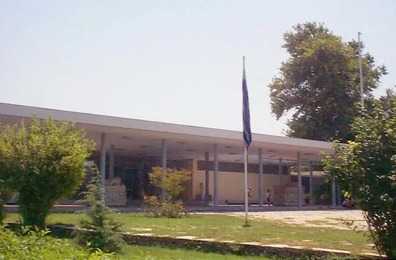 Archaeological Museum of Thessaloniki Museum, Thessaloniki13 km W
-
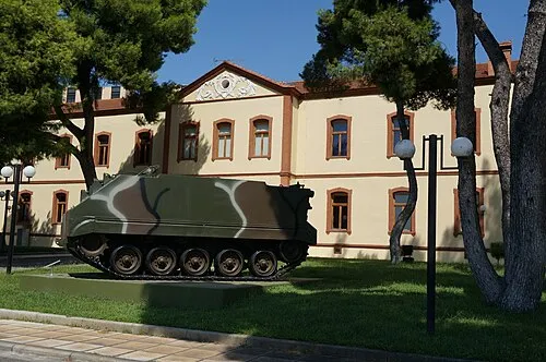 War Museum of Thessaloniki Museum, Thessaloniki12 km W
-
Salonika Ghetto Historic site, Thessaloniki12 km W
-
Saloniki Baron Hirsch Ghetto Historic site, Thessaloniki14 km W
-
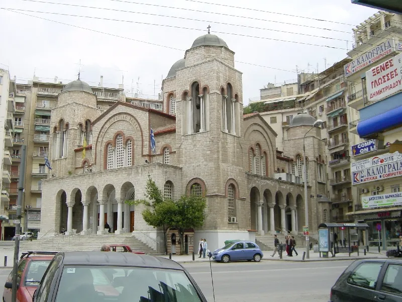 Panagia Dexia Attraction, Thessaloniki13 km W
-
Saloniki Transit Camp Historic site, Thessaloniki14 km W
Sources & licences
Data last updated: · 2 independent sources