Kissos
Local name: Χορτιάτης
Located in Pylaia-Chortiatis, Thessaloniki Coordinates: 40°34′54″ N 23°06′59″ E
- Elevation
- 1,201 m
- above sea level
- Local time
- UTC+02:00
- Europe/Athens · UTC+02:00
- Airports
- SKG Thessaloniki Macedonia International Airport14 km
- KZI Kozani National Airport Filippos113 km
About Kissos
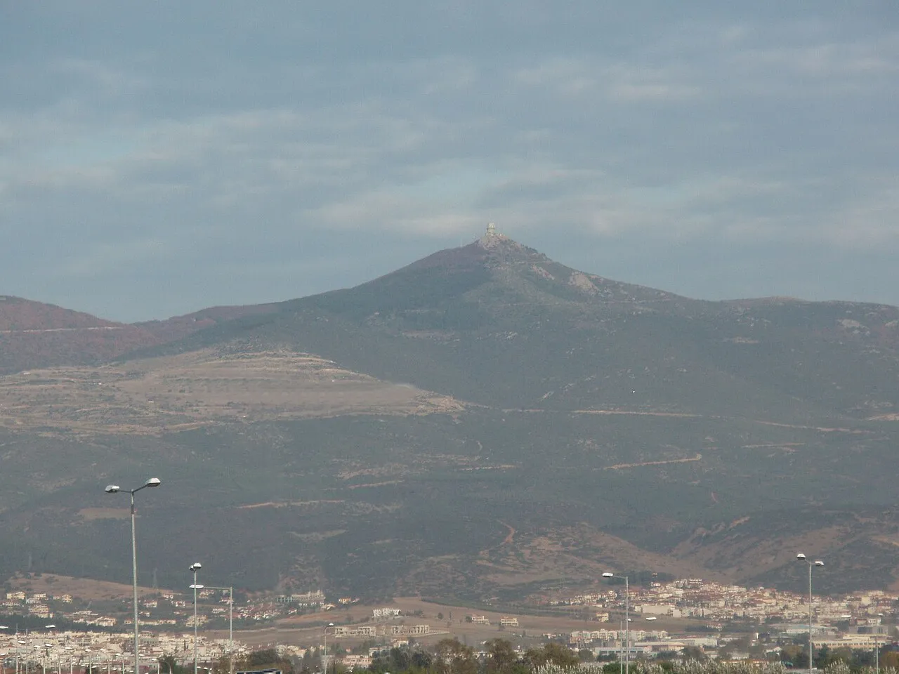
Kissos is a mountain. Location: Pylaia-Chortiatis, Thessaloniki. Elevation: 1,201 m.
Mount Chortiatis or Hortiatis (Greek: Όρος Χορτιάτη, Χορτιάτης), known in Antiquity as Cissus (Ancient Greek: Κισσός) or Kissos, is a mountain in Central Macedonia, Greece. It rises southeast of Thessaloniki, peaking at 1,201 metres. Besides the city of Thessaloniki, there are several suburbs and villages located on the foothills of Chortiatis, most notably Chortiatis and the affluent suburb of Panorama, both of them belonging in the Pylaia-Chortiatis municipality.
Source: Wikipedia · CC BY-SA 4.0
Photos of Kissos
-

PLAKLE · CC BY-SA 4.0 -

PLAKLE · CC BY-SA 4.0 -

john melekidis · CC BY-SA 3.0 -

konstantinos kolimpa… · CC BY 3.0 -

malenki · CC BY-SA 3.0


Climate of Kissos
Best months for sightseeingBest months for sightseeing: June–September.
This month · November
A cold month
Day 7° · Night -1° · Rain 55 mm
- Hottest month
- July (day 25°)
- Coldest month
- January (night -6°)
- Wettest month
- November (55 mm)
- Driest month
- August (26 mm)
Bars: average monthly low and high temperature. Below: precipitation. Monthly averages for 1970–2000 at about 18 km resolution, adjusted for elevation. Highlighted months are mild and relatively dry. Source: WorldClim 2.1 (CC BY 4.0).
Show values as a table
| Month | Jan | Feb | Mar | Apr | May | Jun | Jul | Aug | Sep | Oct | Nov | Dec |
|---|---|---|---|---|---|---|---|---|---|---|---|---|
| Average high (°C) | 2° | 3° | 7° | 12° | 17° | 22° | 25° | 24° | 20° | 14° | 7° | 3° |
| Average low (°C) | -6° | -5° | -2° | 1° | 6° | 10° | 12° | 12° | 8° | 4° | -1° | -5° |
| Precipitation (mm) | 35 | 38 | 39 | 40 | 46 | 36 | 31 | 26 | 27 | 47 | 55 | 47 |
Other places to visit in this season: June July August September
How to get to Kissos
The nearest airport is Thessaloniki Macedonia International Airport (SKG), 14 km to the southwest as the crow flies. The nearest large city is Skopje, 211 km to the northwest.
Airports
- Thessaloniki Macedonia International Airport (SKG) Thessaloniki 14 kmsouthwest
- Kozani National Airport Filippos (KZI) Kozani 113 kmwest
- Kavala Alexander the Great International Airport (KVA) Kavala 132 kmeast
Nearby large cities
- Skopje Population: 474.9K 211 kmnorthwest
- Plovdiv Population: 329.5K 222 kmnortheast
- Sofia Population: 1.2M 236 kmnorth
- Prizren Population: 171.5K 269 kmnorthwest
- Çanakkale Population: 143.6K 284 kmeast
Straight-line distances; road distances are longer. Airport data: OurAirports.
Day trips from Kissos
Within 100 km: 17 historic and cultural sites, 4 natural sites, 24 lakes, rivers and coasts.
0–25 km7 places
- Panagia Dexia Attraction 15 kmW
- Thessaloniki Concert Hall Attraction 14 kmW
- Saloniki Baron Hirsch Ghetto Historic site 16 kmNW
- Salonika Ghetto Historic site 14 kmNW
25–60 km8 places
- Amygdalochóri Historic site 55 kmNE
- Makryótissa Historic site 56 kmN
- Monastery of Agios Athanasios Sfinissis Attraction 54 kmW
- Dionisiou Beach Beach 39 kmS
60–100 km30 places
- Kapnótopos Historic site 91 kmN
- Spalathronísia Island 86 kmSE
- Migdal Mountain 89 kmNW
- Dink Mountain 82 kmNW
Straight-line distances.
Nearest towns and villages

Nearby attractions & nature
Everything nearby-
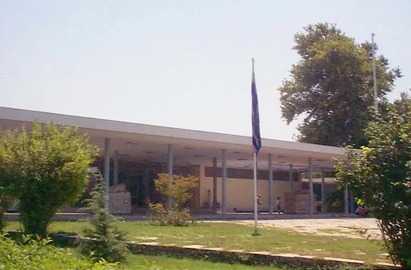 Archaeological Museum of Thessaloniki Museum, Thessaloniki15 km W
-
Thessaloniki Concert Hall Attraction, Thessaloniki14 km W
-
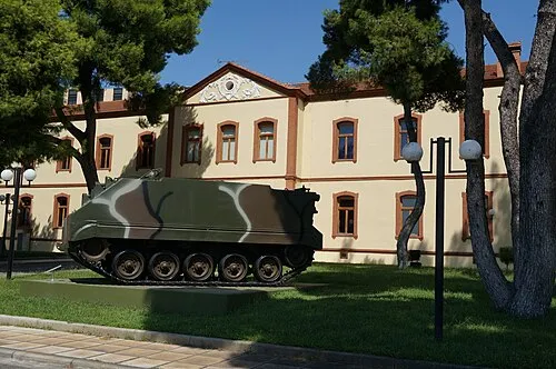 War Museum of Thessaloniki Museum, Thessaloniki14 km W
-
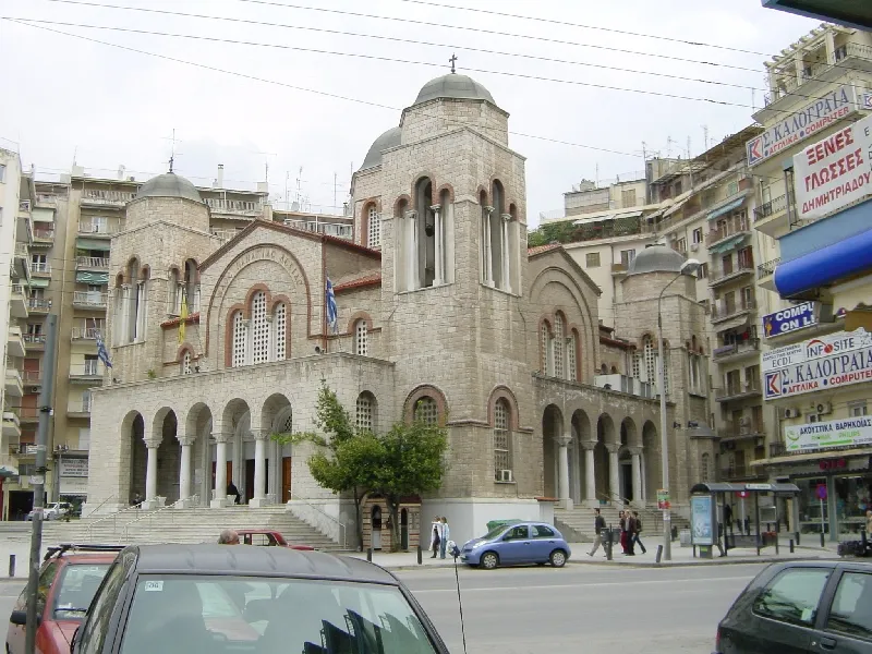 Panagia Dexia Attraction, Thessaloniki15 km W
-
Saloniki Baron Hirsch Ghetto Historic site, Thessaloniki16 km NW
-
Salonika Ghetto Historic site, Thessaloniki14 km NW
-
Saloniki Transit Camp Historic site, Thessaloniki16 km NW
Sources & licences
Data last updated: · 2 independent sources