Kato Vatheia
Located in Chersonisos, Heraklion Regional Unit Coordinates: 35°18′00″ N 25°14′48″ E
- Population
- 86
- 86
- Elevation
- 186 m
- above sea level
- Local time
- UTC+02:00
- Europe/Athens · UTC+02:00
- Airports
- HER Heraklion International Nikos Kazantzakis Airport7 km
- JSH Sitia Airport78 km
About Kato Vatheia
Kato Vatheia is a village. Location: Chersonisos, Heraklion Regional Unit. Population: 86. Elevation: 186 m. The best months to visit are April–May, September–October. The nearest airport is Heraklion International Nikos Kazantzakis Airport (7 km). Nearby sights include Kokkini Nirou and Heraklion Archaeological Museum.
Photos of Kato Vatheia
-
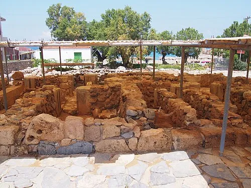
Kokkini Nirou C messier · CC BY-SA 4.0

Climate of Kato Vatheia
Best months for sightseeingBest months for sightseeing: April–May, September–October.
This month · November
Outside the best season
Day 19° · Night 12° · Rain 80 mm
- Hottest month
- July (day 30°)
- Coldest month
- February (night 8°)
- Wettest month
- January (125 mm)
- Driest month
- August (1 mm)
Bars: average monthly low and high temperature. Below: precipitation. Monthly averages for 1970–2000 at about 18 km resolution, adjusted for elevation. Highlighted months are mild and relatively dry. Source: WorldClim 2.1 (CC BY 4.0).
Show values as a table
| Month | Jan | Feb | Mar | Apr | May | Jun | Jul | Aug | Sep | Oct | Nov | Dec |
|---|---|---|---|---|---|---|---|---|---|---|---|---|
| Average high (°C) | 14° | 14° | 16° | 20° | 24° | 28° | 30° | 29° | 27° | 23° | 19° | 16° |
| Average low (°C) | 8° | 8° | 9° | 12° | 15° | 19° | 22° | 22° | 19° | 16° | 12° | 10° |
| Precipitation (mm) | 125 | 94 | 80 | 35 | 17 | 5 | 2 | 1 | 18 | 70 | 80 | 112 |
Other places to visit in this season: April May September October
How to get to Kato Vatheia
The nearest airport is Heraklion International Nikos Kazantzakis Airport (HER), 7 km to the northwest as the crow flies. The nearest large city is Piraeus, 326 km to the northwest.
Airports
- Heraklion International Nikos Kazantzakis Airport (HER) Heraklion 7 kmnorthwest
- Sitia Airport (JSH) Crete Island 78 kmeast
- Chania International Airport (CHQ) Souda 103 kmwest
Nearby large cities
- Piraeus Population: 163.7K 326 kmnorthwest
- Athens Population: 664K 327 kmnorthwest
- Aydin Population: 163K 366 kmnortheast
- Karabağlar Population: 479.3K 381 kmnortheast
- Konak Population: 332.3K 382 kmnortheast
Straight-line distances; road distances are longer. Airport data: OurAirports.
Day trips from Kato Vatheia
Within 100 km: 8 historic and cultural sites, 14 natural sites, 11 lakes, rivers and coasts.
0–25 km6 places
- Paxamadi Island Island 15 kmN
- Halepa Mountain 14 kmW
- Treis Ekklhsies Natural site 19 kmW
- Kokkini Nirou Historic site 3 kmN
25–60 km17 places
- Arkadi Monastery Attraction 56 kmW
- Moni Ayiou Panteleimon Attraction 27 kmW
- Kolympoi Mountain 37 kmSE
- Bali Beach Beach 44 kmW
60–100 km10 places
- Metamórfosi Sotíros Attraction 99 kmW
- Adele Beach Beach 65 kmW
- Agía Varvára Attraction 71 kmW
- Kalamokanias beach Beach 72 kmSE
Straight-line distances.
Nearby attractions & nature
Everything nearby-
Kokkini Nirou Historic site, Chersonisos3.5 km N
-
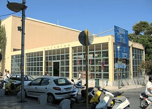 Heraklion Archaeological Museum Museum, Heraklion11 km NW
-
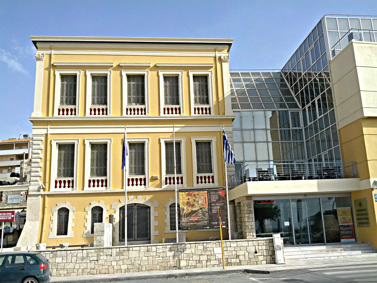 Historical Museum of Crete Museum, Heraklion11 km NW
-
Halepa Mountain, Malevizi14 km W
-
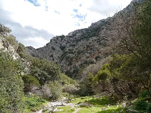 Treis Ekklhsies Natural site, Malevizi19 km W
-
Paxamadi Island Island, Heraklion Regional Unit15 km N
Sources & licences
Data last updated: