Agios Spyridon
Located in Municipality of Arta, Nomós Ártas Coordinates: 39°08′39″ N 20°51′47″ E
- Population
- 971
- 971
- Elevation
- 7 m
- above sea level
- Local time
- UTC+02:00
- Europe/Athens · UTC+02:00
- Airports
- PVK Aktion National Airport26 km
- IOA Ioannina King Pyrrhus National Airport61 km
About Agios Spyridon
Agios Spyridon is a village. Location: Municipality of Arta, Nomós Ártas. Population: 971. Elevation: 7 m. The best months to visit are April–May, October. The nearest airport is Aktion National Airport (26 km). Nearby sights include Bridge of Arta and Orraon Archearological Site.
Climate of Agios Spyridon
Best months for sightseeingBest months for sightseeing: April–May, October.
This month · November
A wet month
Day 18° · Night 9° · Rain 150 mm
- Hottest month
- July (day 32°)
- Coldest month
- January (night 4°)
- Wettest month
- November (150 mm)
- Driest month
- July (12 mm)
Bars: average monthly low and high temperature. Below: precipitation. Monthly averages for 1970–2000 at about 18 km resolution, adjusted for elevation. Highlighted months are mild and relatively dry. Source: WorldClim 2.1 (CC BY 4.0).
Show values as a table
| Month | Jan | Feb | Mar | Apr | May | Jun | Jul | Aug | Sep | Oct | Nov | Dec |
|---|---|---|---|---|---|---|---|---|---|---|---|---|
| Average high (°C) | 13° | 14° | 16° | 20° | 25° | 29° | 32° | 32° | 29° | 24° | 18° | 14° |
| Average low (°C) | 4° | 5° | 7° | 9° | 13° | 16° | 19° | 19° | 16° | 13° | 9° | 5° |
| Precipitation (mm) | 102 | 112 | 82 | 61 | 37 | 18 | 12 | 17 | 46 | 98 | 150 | 141 |
How to get to Agios Spyridon
The nearest airport is Aktion National Airport (PVK), 26 km to the south as the crow flies. For international flights: Corfu Ioannis Kapodistrias International Airport (CFU) (96 km). The nearest large city is Piraeus, 277 km to the southeast.
Airports
- Aktion National Airport (PVK) Preveza 26 kmsouth
- Ioannina King Pyrrhus National Airport (IOA) Ioannina 61 kmnorth
- Corfu Ioannis Kapodistrias International Airport (CFU) Kerkyra (Corfu) 96 kmnorthwest
Nearby large cities
- Piraeus Population: 163.7K 277 kmsoutheast
- Athens Population: 664K 281 kmsoutheast
Straight-line distances; road distances are longer. Airport data: OurAirports.
Day trips from Agios Spyridon
Within 100 km: 13 historic and cultural sites, 27 lakes, rivers and coasts.
0–25 km5 places
- Makronísi Island 12 kmS
- Nisída Kéfalos Island 20 kmS
- Agios Charalambos Attraction 23 kmSW
- Orraon Archearological Site Historic site 15 kmN
25–60 km7 places
- Moni Spilias Attraction 58 kmE
- Moni Retha Attraction 31 kmE
- Kaltsonísi Island 56 kmW
- Nisída Ágios Nikólaos Island 59 kmW
60–100 km28 places
- Moni Tatárnas Attraction 61 kmE
- Kablafka Beach 67 kmS
- Nisídes Falarídes Island 93 kmS
- Atheronisi Island 97 kmSW
Straight-line distances.
Nearby attractions & nature
Everything nearby-
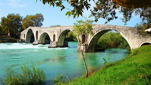 Bridge of Arta Landmark, Municipality of Arta9.7 km E
-
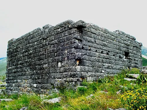 Orraon Archearological Site Historic site, Municipality of Arta15 km N
-
Makronísi Island, Nomós Ártas12 km S
-
 Agios Charalambos Attraction, Preveza23 km SW
-
Nisída Kéfalos Island, West Greece20 km S
Sources & licences
Data last updated: