- Population
- 135
- 135
- Elevation
- 291 m
- above sea level
- Local time
- UTC+02:00
- Europe/Athens · UTC+02:00
- Airports
- KLX Kalamata Airport27 km
- ZTH Zakynthos International Airport "Dionysios Solomos"130 km
About Anatolikí Milítsa
Anatolikí Milítsa is a village. Location: Messene, Messenia. Population: 135. Elevation: 291 m. The best months to visit are May–June, September–October. The nearest airport is Kalamata Airport (27 km). Nearby sights include Agios Georgios and Agia Triada Beach.
Population of Anatolikí Milítsa over time
| 1991 | 95 | |
|---|---|---|
| 2001 | 135 | |
| 2011 | 94 | |
| 2021 | 23 |
Censuses and official estimates; source: Wikidata.
Climate of Anatolikí Milítsa
Best months for sightseeingBest months for sightseeing: May–June, September–October.
This month · November
A wet month
Day 17° · Night 9° · Rain 128 mm
- Hottest month
- August (day 30°)
- Coldest month
- January (night 5°)
- Wettest month
- December (138 mm)
- Driest month
- July (5 mm)
Bars: average monthly low and high temperature. Below: precipitation. Monthly averages for 1970–2000 at about 18 km resolution, adjusted for elevation. Highlighted months are mild and relatively dry. Source: WorldClim 2.1 (CC BY 4.0).
Show values as a table
| Month | Jan | Feb | Mar | Apr | May | Jun | Jul | Aug | Sep | Oct | Nov | Dec |
|---|---|---|---|---|---|---|---|---|---|---|---|---|
| Average high (°C) | 12° | 12° | 14° | 18° | 22° | 27° | 29° | 30° | 26° | 22° | 17° | 13° |
| Average low (°C) | 5° | 5° | 6° | 9° | 13° | 17° | 19° | 19° | 16° | 13° | 9° | 6° |
| Precipitation (mm) | 113 | 97 | 72 | 51 | 21 | 7 | 5 | 10 | 30 | 87 | 128 | 138 |
Other places to visit in this season: May June September October
How to get to Anatolikí Milítsa
The nearest airport is Kalamata Airport (KLX), 27 km to the northeast as the crow flies. For international flights: Zakynthos International Airport "Dionysios Solomos" (ZTH) (130 km). The nearest large city is Piraeus, 199 km to the northeast.
Airports
- Kalamata Airport (KLX) Kalamata 27 kmnortheast
- Zakynthos International Airport "Dionysios Solomos" (ZTH) Zakynthos 130 kmnorthwest
- Patras Araxos Agamemnon Airport (GPA) Patras 147 kmnorth
Nearby large cities
- Piraeus Population: 163.7K 199 kmnortheast
- Athens Population: 664K 207 kmnortheast
Straight-line distances; road distances are longer. Airport data: OurAirports.
Nearby attractions & nature
Everything nearby-
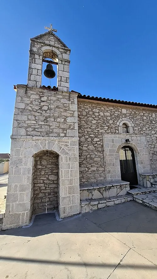 Agios Georgios Attraction, Messene4.3 km NE
-
Agia Triada Beach Beach, Pylos-Nestoras11 km SE
-
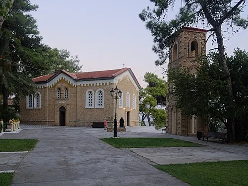 Panagia Eleistria Attraction, Pylos-Nestoras13 km SE
-
Artaki Beach Beach, Pylos-Nestoras12 km SE
-
Memi Beach Beach, Pylos-Nestoras13 km SE
-
Tsapi Beach Beach, Pylos-Nestoras13 km S
Sources & licences
Data last updated: · 2 independent sources