- Elevation
- 0 m
- above sea level
- Local time
- UTC+02:00
- Europe/Athens · UTC+02:00
- Airports
- JSI Skiathos Island National Airport37 km
- VOL Nea Anchialos National Airport39 km
About Ntammouchari Beach
Ntammouchari Beach is a beach. Location: Zagora-Mouresi, Magnesia. The best months to visit are May, September–October. The nearest airport is Skiathos Island National Airport (37 km). Nearby sights include Papa Nero Beach and Fakistra Beach.
Photos of Ntammouchari Beach
-
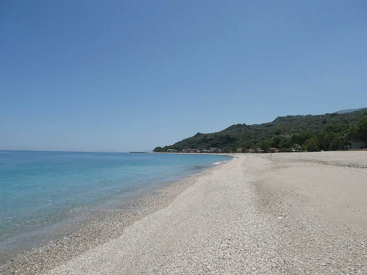
Chorefto Beach Koomni · CC BY-SA 4.0 -
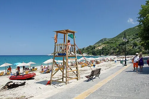
Papa Nero Beach Andreas Routsias · CC BY-SA 4.0 -
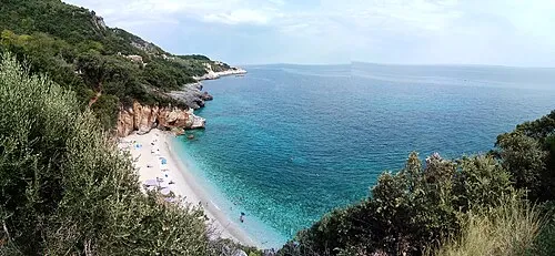
Mylopotamos Beach Leeturtle · CC BY-SA 3.0 -
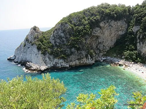
Fakistra Beach Nicolas Hadjidimitriou · CC BY-SA 4.0 -
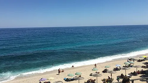
Plaka Beach Stathis125 · CC BY-SA 4.0


Climate of Ntammouchari Beach
Best months for sightseeingBest months for sightseeing: May, September–October.
This month · November
Outside the best season
Day 16° · Night 10° · Rain 64 mm
- Hottest month
- July (day 30°)
- Coldest month
- January (night 6°)
- Wettest month
- December (69 mm)
- Driest month
- July (16 mm)
Bars: average monthly low and high temperature. Below: precipitation. Monthly averages for 1970–2000 at about 18 km resolution, adjusted for elevation. Highlighted months are mild and relatively dry. Source: WorldClim 2.1 (CC BY 4.0).
Show values as a table
| Month | Jan | Feb | Mar | Apr | May | Jun | Jul | Aug | Sep | Oct | Nov | Dec |
|---|---|---|---|---|---|---|---|---|---|---|---|---|
| Average high (°C) | 11° | 12° | 14° | 19° | 24° | 29° | 30° | 30° | 26° | 21° | 16° | 12° |
| Average low (°C) | 6° | 6° | 8° | 11° | 15° | 20° | 22° | 22° | 18° | 14° | 10° | 7° |
| Precipitation (mm) | 56 | 54 | 54 | 40 | 34 | 22 | 16 | 17 | 26 | 61 | 64 | 69 |
How to get to Ntammouchari Beach
The nearest airport is Skiathos Island National Airport (JSI), 37 km to the southeast as the crow flies. For international flights: Thessaloniki Macedonia International Airport (SKG) (125 km). The nearest large city is Athens, 165 km to the south.
Airports
- Skiathos Island National Airport (JSI) Skiathos 37 kmsoutheast
- Nea Anchialos National Airport (VOL) Nea Anchialos 39 kmsouthwest
- Thessaloniki Macedonia International Airport (SKG) Thessaloniki 125 kmnorth
Nearby large cities
- Athens Population: 664K 165 kmsouth
- Piraeus Population: 163.7K 167 kmsouth
- Çanakkale Population: 143.6K 289 kmeast
- Plovdiv Population: 329.5K 333 kmnortheast
- Çiğli Population: 214.1K 352 kmeast
Straight-line distances; road distances are longer. Airport data: OurAirports.
Day trips from Ntammouchari Beach
Within 100 km: 6 historic and cultural sites, 1 natural site, 35 lakes, rivers and coasts.
0–25 km9 places
- Áyios Nikólaos Island 24 kmSW
- Moni Timiou Prodromou Attraction 15 kmS
- Chorefto Beach Beach 8 kmNW
- Mylopotamos Beach Beach 4 kmSE
25–60 km3 places
- Paximada Island 45 kmSE
- Nisída Psathí Island 28 kmSW
- Vrolimnos Beach Beach 38 kmSE
60–100 km30 places
- Moní Genesíou Theotókou Damástas Attraction 93 kmSW
- Moni Osiou David Attraction 63 kmS
- Moní Antinítsis Attraction 81 kmSW
- Spalathronísia Island 87 kmNE
Straight-line distances.
Nearest towns and villages
-
Mouresi Village, Zagora-Mouresi1.5 km W
-
Damouchari Village, Zagora-Mouresi0.4 km NW
-
Tsagkarada Village, Zagora-Mouresi1.8 km S
-
Mylopotamos Village, Zagora-Mouresi3.2 km SE
-
Agios Ioannis Village, Zagora-Mouresi2 km NW
-
Anílio Village, Zagora-Mouresi4.3 km NW
Nearby attractions & nature
Everything nearby-
Papa Nero Beach Beach, Zagora-Mouresi1.3 km NW
-
Fakistra Beach Beach, Zagora-Mouresi1.9 km SE
-
Plaka Beach Beach, Zagora-Mouresi3 km NW
-
Mylopotamos Beach Beach, Zagora-Mouresi3.7 km SE
-
Banikas Beach Beach, Zagora-Mouresi4.8 km NW
-
Limnionas Beach Beach, Magnesia4.9 km SE
-
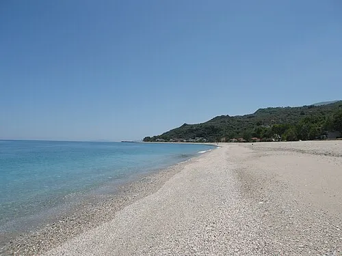 Chorefto Beach Beach, Zagora-Mouresi7.7 km NW
-
Áyios Nikólaos Island, Magnesia24 km SW
Sources & licences
Data last updated: · 2 independent sources