Plataniá
Local name: Πλατανιά
Located in Voio, Kozani Coordinates: 40°23′01″ N 21°20′51″ E
- Population
- 148
- 148
- Elevation
- 675 m
- above sea level
- Local time
- UTC+02:00
- Europe/Athens · UTC+02:00
About Plataniá
Plataniá is a village. Location: Voio, Kozani. Population: 148. Elevation: 675 m.
Platania (Greek: Πλατανιά, before 1927: Μπομπούστιον – Bompoustion), is a village and a community in the Voio municipality of Greece. Before the 2011 local government reform it was part of the municipality of Neapoli, of which it was a municipal district. The 2021 census recorded 88 inhabitants in the village.
Read more on Wikipedia Text: Wikipedia contributors · CC BY-SA 4.0 · shortened
In comparison
- No. 7 of 17 places in Voio by population
- Nearest larger town: Vogatsiko, 4 km NE
Climate of Plataniá
Best months for sightseeing: May–June, September.
| Month | Jan | Feb | Mar | Apr | May | Jun | Jul | Aug | Sep | Oct | Nov | Dec |
|---|---|---|---|---|---|---|---|---|---|---|---|---|
| Average high (°C) | 6° | 8° | 12° | 16° | 22° | 26° | 29° | 29° | 25° | 19° | 12° | 9° |
| Average low (°C) | -1° | 0° | 2° | 5° | 10° | 13° | 15° | 15° | 12° | 8° | 3° | 1° |
| Precipitation (mm) | 63 | 56 | 59 | 62 | 61 | 42 | 39 | 40 | 46 | 83 | 87 | 71 |
Monthly averages for 1970–2000 at about 18 km resolution, adjusted for elevation. Highlighted months are mild and relatively dry. Source: WorldClim 2.1 (CC BY 4.0).
Other places to visit in this season: May · June · September
Airports nearest to Plataniá
- Kozani National Airport Filippos (KZI) Kozani 43 km
- Ioannina King Pyrrhus National Airport (IOA) Ioannina 88 km
- Ohrid St. Paul the Apostle Airport (OHD) Ohrid 102 km
Straight-line distance; airports with scheduled flights only. Source: OurAirports (public domain).
Nearby attractions & nature
Everything nearby-
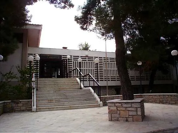 Byzantine Museum of Kastoria Museum, Kastoria16 km NW
-
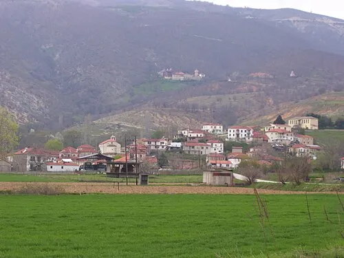 Moní Agíon Anargyron Attraction, Kastoria22 km N
-
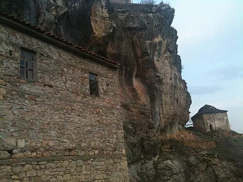 Moní Taksiarchón Tsoúkas Attraction, Nestorio24 km W
Sources & licences
Data last updated: · 2 independent sources