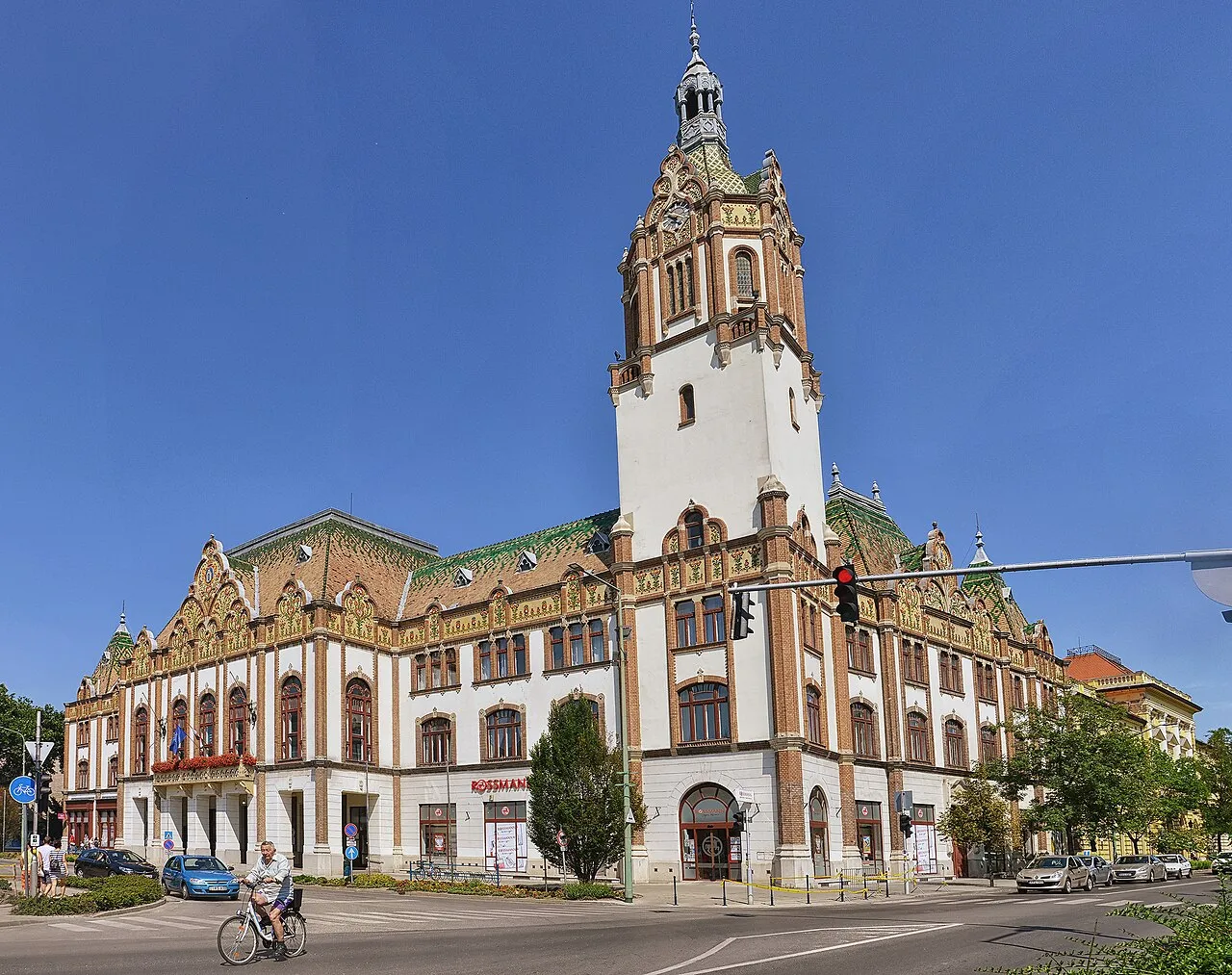
- Population
- 31,720
- 31.7K
- Elevation
- 97 m
- above sea level
- Local time
- UTC+01:00
- Europe/Budapest · UTC+01:00
- Airports
- BUD Budapest Liszt Ferenc International Airport91 km
- ARW Arad International Airport124 km
About Kiskunfélegyháza
Kiskunfélegyháza is a city. Location: Bács-Kiskun county, Hungary. Population: 31,720. Elevation: 97 m.
Kiskunfélegyháza (Hungarian pronunciation: [ˈkiʃkunfeːlɛɟaːzɒ]) is a city in Bács-Kiskun County, Hungary.
Source: Wikipedia · CC BY-SA 4.0
Travel notes for Kiskunfélegyháza
From Wikivoyage
Kiskunfélegyháza is a town of 30,000 in 2025 in Bács-Kiskun County.
Understand+
The surrounding country is covered with vineyards, fruit gardens, and tobacco and corn fields.
Tourist information:
1 Tourinform, Kossuth Lajos utca 1. (Center), ☏ +36 76 562 039, kiskunfelegyhaza@tourinform.hu. Mon-Fri 09:00-16:00. Services: tourist information, brochures about Kiskunfélegyháza and its region, and the country, cultural event guides, tour guides, postcards, gifts and books about Kiskunfélegyháza.
Get in+
It is 30 km south of Kecskemét. The nearest international airport is in Budapest.
By train:
It is on the Budapest - Szeged railway line. There are also direct trains to Kiskunhalas, Szentes and Szolnok via Lakitelek.
2 Train Station (Vasútállomás), Kossuth Lajos utca 37 (20 minutes walking west from downtown). Daily 03:15-22:45. Direct trains: - Budapest Nyugati station (hourly, 1 hr 38 min). Szeged (hourly, 51 min).
By car:
Kiskunfélegyháza is on the M5 Budapest-Szeged motorway, running to Szolnok, Csongrád and Baja.
Source: Wikivoyage · CC BY-SA 4.0 · abridged
Twin towns and sister cities of Kiskunfélegyháza
- Kjellerup· Denmark
- Silkeborg· Denmark
- Jászfényszaru· Hungary
Source: Wikidata. Only places with a page on this site are shown.
Population of Kiskunfélegyháza over time
| 2013 | 29,567 | |
|---|---|---|
| 2014 | 29,340 | |
| 2018 | 29,324 | |
| 2019 | 29,306 | |
| 2021 | 28,851 | |
| 2022 | 28,872 | |
| 2023 | 28,803 | |
| 2024 | 28,562 | |
| 2025 | 28,382 | |
| 2026 | 28,043 |
Censuses and official estimates; source: Wikidata.
Climate of Kiskunfélegyháza
Best months for sightseeingBest months for sightseeing: May–June, September.
This month · November
A cold month
Day 8° · Night 1° · Rain 47 mm
- Hottest month
- August (day 27°)
- Coldest month
- January (night -4°)
- Wettest month
- June (65 mm)
- Driest month
- March (28 mm)
Bars: average monthly low and high temperature. Below: precipitation. Monthly averages for 1970–2000 at about 18 km resolution, adjusted for elevation. Highlighted months are mild and relatively dry. Source: WorldClim 2.1 (CC BY 4.0).
Show values as a table
| Month | Jan | Feb | Mar | Apr | May | Jun | Jul | Aug | Sep | Oct | Nov | Dec |
|---|---|---|---|---|---|---|---|---|---|---|---|---|
| Average high (°C) | 2° | 5° | 11° | 16° | 22° | 25° | 27° | 27° | 23° | 16° | 8° | 3° |
| Average low (°C) | -4° | -3° | 1° | 5° | 10° | 13° | 14° | 14° | 10° | 5° | 1° | -2° |
| Precipitation (mm) | 31 | 30 | 28 | 41 | 55 | 65 | 52 | 52 | 44 | 36 | 47 | 46 |
How to get to Kiskunfélegyháza
The nearest airport is Budapest Liszt Ferenc International Airport (BUD), 91 km to the northwest as the crow flies. The nearest large city is Kecskemét, 25 km to the northwest.
Airports
- Budapest Liszt Ferenc International Airport (BUD) Budapest 91 kmnorthwest
- Arad International Airport (ARW) Arad 124 kmsoutheast
- Pécs-Pogány International Airport (PEV) Pécs 147 kmsouthwest
Nearby large cities
- Kecskemét Population: 109.8K 25 kmnorthwest
- Szeged Population: 160.8K 56 kmsoutheast
- Székesfehérvár Population: 101.6K 121 kmnorthwest
- Arad Population: 169.1K 127 kmsoutheast
- Pécs Population: 145.3K 143 kmsouthwest
Straight-line distances; road distances are longer. Airport data: OurAirports.
Day trips from Kiskunfélegyháza
Within 100 km: 55 historic and cultural sites, 10 natural sites, 1 lake, river or coast.
0–25 km3 places
- Kiskunfélegyháza Ghetto Historic site 1 kmE
- Csongrád Ghetto Historic site 23 kmE
- Kecskemét Ghetto Historic site 24 kmNW
25–60 km21 places
- Szarvas Ghetto Historic site 57 kmE
- Tiszaföldvár Ghetto Historic site 43 kmNE
- Abony Ghetto Historic site 54 kmN
- Kisújszállás Ghetto Historic site 57 kmN
60–100 km42 places
- Ercsi Ghetto Historic site 94 kmNW
- Nagyhalom Mountain 77 kmN
- Jászberény Ghetto Historic site 88 kmN
- Túrkeve Ghetto Historic site 81 kmNE
Straight-line distances.
Nearby attractions & nature
Everything nearby-
Kiskunfélegyháza Ghetto Historic site, Bács-Kiskun county0.5 km E
-
Kecskemét Ghetto Historic site, Bács-Kiskun county24 km NW
-
Csongrád Ghetto Historic site, Csongrád megye23 km E
Other cities and towns in Bács-Kiskun county
-
 Kecskemét City, Bács-Kiskun county25 km NW
-
 Kiskunmajsa City, Bács-Kiskun county26 km S
-
 Tiszakécske City, Bács-Kiskun county31 km NE
-
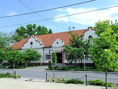 Soltvadkert Town, Bács-Kiskun county38 km SW
-
Tiszaalpár Town, Bács-Kiskun county16 km NE
-
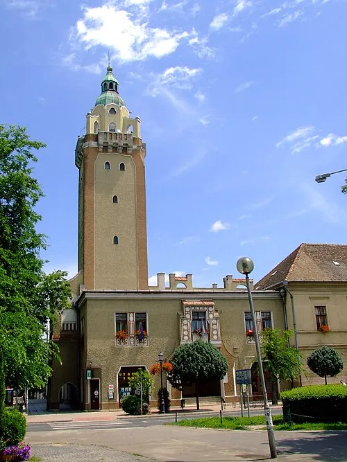 Kiskunhalas City, Bács-Kiskun county41 km SW
Sources & licences
Data last updated: · 2 independent sources