Sárospatak
Located in Borsod-Abauj Zemplen county, Hungary Coordinates: 48°19′28″ N 21°34′26″ E
- Population
- 11,886
- 11.9K
- Elevation
- 106 m
- above sea level
- Local time
- UTC+01:00
- Europe/Budapest · UTC+01:00
About Sárospatak
Sárospatak is a city. Location: Borsod-Abauj Zemplen county, Hungary. Population: 11,886. Elevation: 106 m.
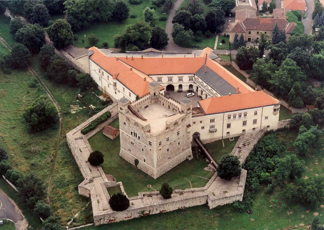
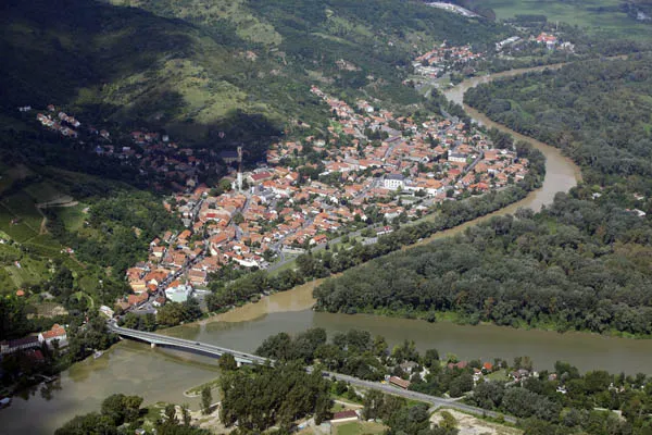
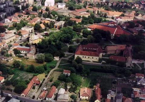
Sárospatak (German: Potock, Blattenbach, Slovak: Blatný Potok, lit. 'Muddy Stream or Muddy Creek') is a town in Borsod-Abaúj-Zemplén County, northern Hungary. It lies 70 kilometres (43 miles) northeast from Miskolc, in the Bodrog river valley. The town, often called simply Patak, is a cultural centre, a historical town and a popular tourist destination.
Read more on Wikipedia Text: Wikipedia contributors · CC BY-SA 4.0 · shortened
At a glance
- Area
- 100 km²
Source: Wikidata
In comparison
- No. 6 of 148 places in Borsod-Abauj Zemplen county by population
- Nearest larger town: Sátoraljaújhely, 10 km NE
Climate of Sárospatak
Best months for sightseeing: May–September.
| Month | Jan | Feb | Mar | Apr | May | Jun | Jul | Aug | Sep | Oct | Nov | Dec |
|---|---|---|---|---|---|---|---|---|---|---|---|---|
| Average high (°C) | 1° | 4° | 10° | 16° | 22° | 24° | 26° | 26° | 21° | 15° | 7° | 2° |
| Average low (°C) | -5° | -4° | 0° | 5° | 10° | 13° | 14° | 14° | 10° | 5° | 0° | -3° |
| Precipitation (mm) | 30 | 29 | 31 | 43 | 56 | 74 | 74 | 62 | 49 | 40 | 46 | 41 |
Monthly averages for 1970–2000 at about 18 km resolution, adjusted for elevation. Highlighted months are mild and relatively dry. Source: WorldClim 2.1 (CC BY 4.0).
Airports nearest to Sárospatak
- Košice International Airport (KSC) Košice 45 km
- Debrecen International Airport (DEB) Debrecen 93 km
- Satu Mare International Airport (SUJ) Satu Mare 120 km
Straight-line distance; airports with scheduled flights only. Source: OurAirports (public domain).
Nearby attractions & nature
Everything nearby-
Zabarla Mountain, Borsod-Abauj Zemplen county15 km W
-
Sátoraljaújhely Ghetto Historic site, Borsod-Abauj Zemplen county10 km NE
-
Magoska Mountain, Borsod-Abauj Zemplen county22 km W
-
Poklos Mountain, Borsod-Abauj Zemplen county20 km SW
-
Szincsehalom Mountain, Szabolcs-Szatmár-Bereg21 km S
Other cities and towns in Borsod-Abauj Zemplen county
Sources & licences
Data last updated: · 2 independent sources