Zabarla
Located in Borsod-Abauj Zemplen county, Hungary Coordinates: 48°22′00″ N 21°23′00″ E
- Elevation
- 548 m
- above sea level
- Local time
- UTC+01:00
- Europe/Budapest · UTC+01:00
- Airports
- KSC Košice International Airport35 km
- DEB Debrecen International Airport99 km
About Zabarla
Zabarla is a mountain. Location: Borsod-Abauj Zemplen county, Hungary. Elevation: 548 m. The best months to visit are June–August. The nearest airport is Košice International Airport (35 km). Nearby sights include Magoska and Fajdas.
Climate of Zabarla
Best months for sightseeingBest months for sightseeing: June–August.
This month · November
A cold month
Day 5° · Night -1° · Rain 51 mm
- Hottest month
- July (day 22°)
- Coldest month
- January (night -7°)
- Wettest month
- June (91 mm)
- Driest month
- January (32 mm)
Bars: average monthly low and high temperature. Below: precipitation. Monthly averages for 1970–2000 at about 18 km resolution, adjusted for elevation. Highlighted months are mild and relatively dry. Source: WorldClim 2.1 (CC BY 4.0).
Show values as a table
| Month | Jan | Feb | Mar | Apr | May | Jun | Jul | Aug | Sep | Oct | Nov | Dec |
|---|---|---|---|---|---|---|---|---|---|---|---|---|
| Average high (°C) | -1° | 1° | 7° | 12° | 17° | 20° | 22° | 22° | 17° | 12° | 5° | 0° |
| Average low (°C) | -7° | -5° | -2° | 3° | 8° | 10° | 12° | 12° | 8° | 3° | -1° | -5° |
| Precipitation (mm) | 32 | 32 | 35 | 52 | 70 | 91 | 87 | 75 | 57 | 48 | 51 | 44 |
How to get to Zabarla
The nearest airport is Košice International Airport (KSC), 35 km to the north as the crow flies. For international flights: Debrecen International Airport (DEB) (99 km). The nearest large city is Nyíregyháza, 52 km to the southeast.
Airports
- Košice International Airport (KSC) Košice 35 kmnorth
- Debrecen International Airport (DEB) Debrecen 99 kmsouth
- Poprad-Tatry Airport (TAT) Poprad 115 kmnorthwest
Nearby large cities
- Nyíregyháza Population: 117.7K 52 kmsoutheast
- Miskolc Population: 154.5K 54 kmsouthwest
- Debrecen Population: 202.4K 95 kmsouth
- Satu Mare Population: 112.5K 127 kmsoutheast
- Oradea Population: 183.1K 152 kmsouth
Straight-line distances; road distances are longer. Airport data: OurAirports.
Nearest towns and villages
-
Tolcsva Village, Borsod-Abauj Zemplen county11 km SE
-
Arka Village, Borsod-Abauj Zemplen county10 km W
-
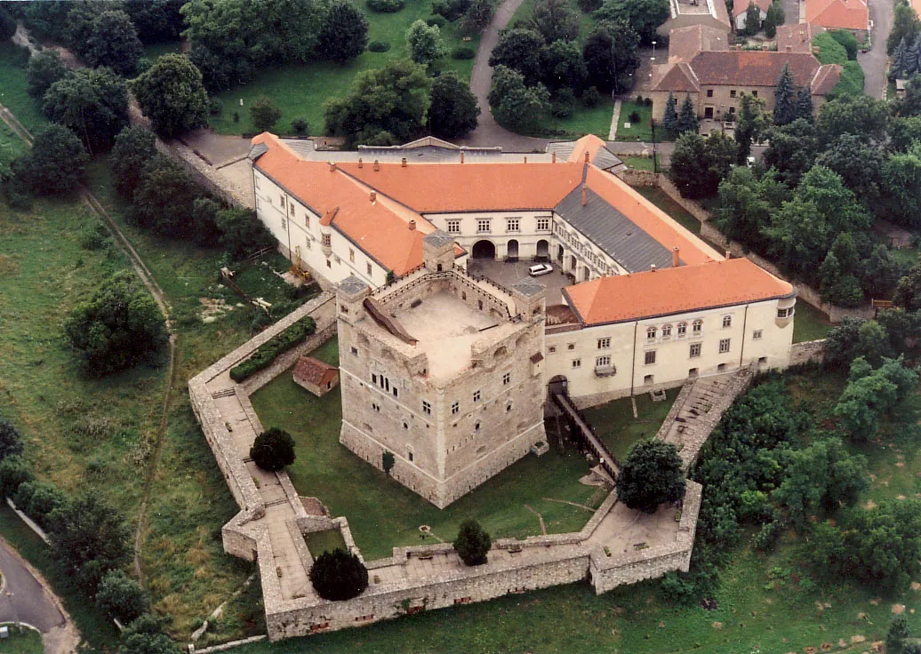 Sárospatak City, Borsod-Abauj Zemplen county15 km E
-
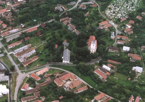 Gönc City, Borsod-Abauj Zemplen county13 km NW
-
Olaszliszka Village, Borsod-Abauj Zemplen county13 km S
-
Abaújalpár Village, Borsod-Abauj Zemplen county13 km SW
Nearby attractions & nature
Everything nearby-
Magoska Mountain, Borsod-Abauj Zemplen county7.6 km W
-
Fajdas Mountain, Borsod-Abauj Zemplen county21 km W
-
Poklos Mountain, Borsod-Abauj Zemplen county19 km S
-
Somos Mountain, Borsod-Abauj Zemplen county20 km SW
-
Remete-hegy Mountain, Borsod-Abauj Zemplen county23 km N
-
Sátoraljaújhely Ghetto Historic site, Borsod-Abauj Zemplen county20 km E
More nature in Hungary
-
Cibere Mountain, Borsod-Abauj Zemplen county29 km W
-
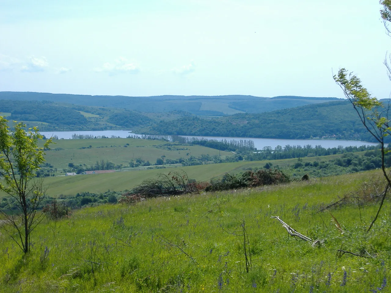 Cherekhat Mountain, Borsod-Abauj Zemplen county29 km W
-
Boroska Mountain, Borsod-Abauj Zemplen county49 km W
-
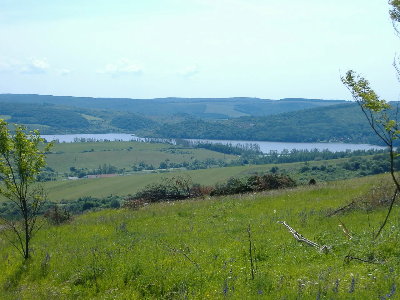 Cserehát Mountain, Lak41 km W
-
Szeles Mountain, Borsod-Abauj Zemplen county56 km SW
-
Varnyas Mountain, Borsod-Abauj Zemplen county60 km SW
Sources & licences
Data last updated: · 2 independent sources