Szerencs
Located in Borsod-Abauj Zemplen county, Hungary Coordinates: 48°09′36″ N 21°12′35″ E
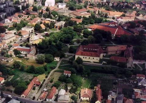
- Population
- 10,046
- 10K
- Elevation
- 97 m
- above sea level
- Local time
- UTC+01:00
- Europe/Budapest · UTC+01:00
About Szerencs
Szerencs is a city. Location: Borsod-Abauj Zemplen county, Hungary. Population: 10,046. Elevation: 97 m.
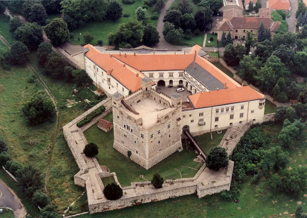
Szerencs (Hungarian pronunciation: [ˈsɛrɛnt͡ʃ]) is a town in Borsod-Abaúj-Zemplén county, Northern Hungary. It lies 35 km (22 mi) away from Miskolc, and 205 km (127 mi) away from Budapest. It has about 9,100 inhabitants.
Read more on Wikipedia Text: Wikipedia contributors · CC BY-SA 4.0 · shortened
At a glance
- Area
- 36.7 km²
Source: Wikidata
In comparison
- No. 9 of 148 places in Borsod-Abauj Zemplen county by population
- Nearest larger town: Tiszavasvári, 24 km SE
Climate of Szerencs
Best months for sightseeing: May–September.
| Month | Jan | Feb | Mar | Apr | May | Jun | Jul | Aug | Sep | Oct | Nov | Dec |
|---|---|---|---|---|---|---|---|---|---|---|---|---|
| Average high (°C) | 1° | 4° | 10° | 17° | 22° | 25° | 27° | 26° | 22° | 15° | 7° | 2° |
| Average low (°C) | -5° | -4° | 0° | 5° | 10° | 13° | 15° | 14° | 10° | 5° | 0° | -3° |
| Precipitation (mm) | 29 | 29 | 31 | 41 | 56 | 78 | 71 | 63 | 44 | 40 | 46 | 40 |
Monthly averages for 1970–2000 at about 18 km resolution, adjusted for elevation. Highlighted months are mild and relatively dry. Source: WorldClim 2.1 (CC BY 4.0).
Other places to visit in this season: May · June · July · August · September
Airports nearest to Szerencs
- Košice International Airport (KSC) Košice 56 km
- Debrecen International Airport (DEB) Debrecen 81 km
- Poprad-Tatry Airport (TAT) Poprad 124 km
Straight-line distance; airports with scheduled flights only. Source: OurAirports (public domain).
Nearby attractions & nature
Everything nearbyOther cities and towns in Borsod-Abauj Zemplen county
-
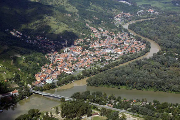 Tokaj City, Borsod-Abauj Zemplen county16 km E
-
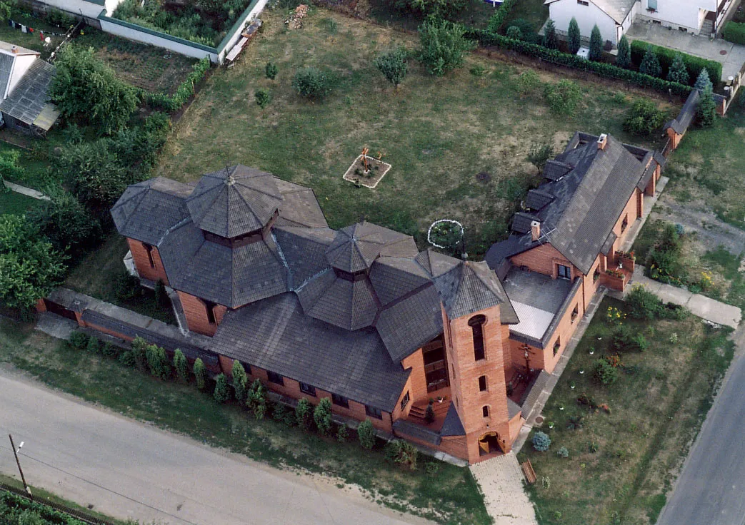 Encs City, Borsod-Abauj Zemplen county20 km N
-
Tiszalúc Town, Borsod-Abauj Zemplen county17 km SW
-
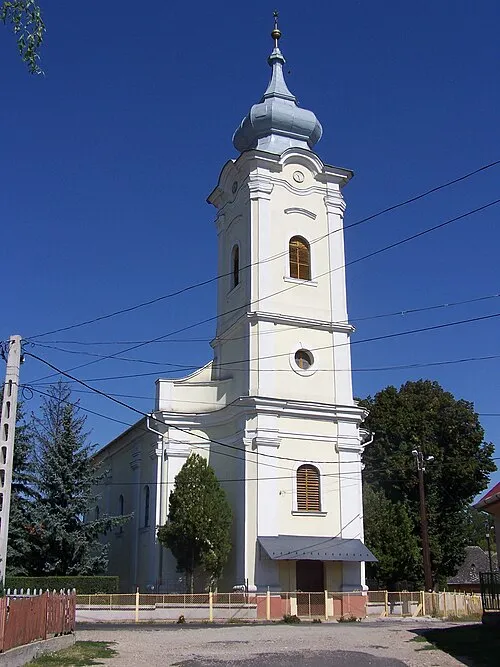 Alsózsolca Town, Borsod-Abauj Zemplen county26 km W
-
 Sárospatak City, Borsod-Abauj Zemplen county33 km NE
-
Szikszó City, Borsod-Abauj Zemplen county21 km W
Sources & licences
Data last updated: · 2 independent sources