Tullyallen
Local name: Tulaigh Álainn
Located in County Louth, Leinster Coordinates: 53°44′10″ N 6°25′22″ W
- Population
- 1,547
- 1.5K
- Elevation
- 65 m
- above sea level
- Local time
- UTC+00:00
- Europe/Dublin · UTC+00:00
About Tullyallen
Tullyallen is a village. Location: County Louth, Leinster. Population: 1,547. Elevation: 65 m.
Tullyallen (Irish: Tulaigh Álainn) is a town, civil parish and townland (of approx. 960 acres) 6 km north-west of Drogheda in County Louth, Ireland. It is in the historic barony of Ferrard. It is located in the historical Boyne Valley, in the Catholic parish of Mellifont (named after the nearby Mellifont Abbey); it is also close to Newgrange, Knowth and Dowth burial mounds, Monasterboice monastery, and to the Battle of the Boyne site.
Read more on Wikipedia Text: Wikipedia contributors · CC BY-SA 4.0 · shortened
In comparison
- No. 8 of 24 places in County Louth by population
- Nearest larger town: Drogheda, 5 km E
- 9 sights and natural places within 10 km Mattock River, Mellifont Abbey
Nearby attractions & nature
Everything nearby-
Mattock River River, Ireland1.6 km S
-
Mellifont Abbey Historic site, County Louth2.6 km W
-
 Hunky Dorys Park Landmark, County Louth4.5 km E
-
Devlin River River, County Meath4.2 km W
-
Fieldstown Hill Mountain, County Louth5 km NE
-
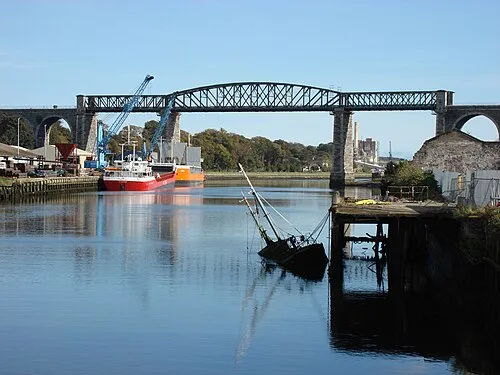 Boyne Viaduct Landmark, County Louth6 km E
Sources & licences
Data last updated: · 2 independent sources