- Elevation
- 145 m
- above sea level
- Local time
- UTC+00:00
- Europe/Dublin · UTC+00:00
- Airports
- DUB Dublin Airport29 km
- BFS Belfast International Airport123 km
About Hill of Tara
Hill of Tara is a mountain. Location: County Meath, Leinster. Elevation: 145 m. The best months to visit are June–September. The nearest airport is Dublin Airport (29 km). Nearby sights include Hill of Tara (Temair) and Rath Riogh.
Photos of Hill of Tara
-
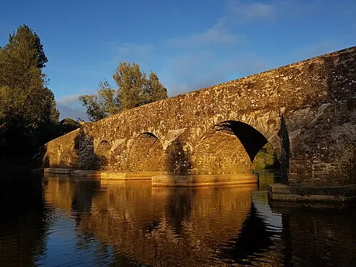
Kilcarn Bridge Paddy2k · CC BY-SA 4.0 -
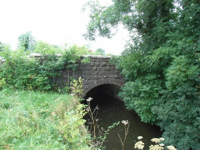
Balbrigh Bridge JP · CC BY-SA 2.0


Climate of Hill of Tara
Best months for sightseeingBest months for sightseeing: June–September.
This month · November
A cold month
Day 9° · Night 3° · Rain 90 mm
- Hottest month
- July (day 19°)
- Coldest month
- January (night 1°)
- Wettest month
- January (92 mm)
- Driest month
- April (59 mm)
Bars: average monthly low and high temperature. Below: precipitation. Monthly averages for 1970–2000 at about 18 km resolution, adjusted for elevation. Highlighted months are mild and relatively dry. Source: WorldClim 2.1 (CC BY 4.0).
Show values as a table
| Month | Jan | Feb | Mar | Apr | May | Jun | Jul | Aug | Sep | Oct | Nov | Dec |
|---|---|---|---|---|---|---|---|---|---|---|---|---|
| Average high (°C) | 7° | 8° | 9° | 12° | 14° | 17° | 19° | 19° | 16° | 13° | 9° | 8° |
| Average low (°C) | 1° | 1° | 2° | 3° | 6° | 8° | 11° | 10° | 8° | 6° | 3° | 2° |
| Precipitation (mm) | 92 | 65 | 68 | 59 | 67 | 65 | 62 | 80 | 81 | 88 | 90 | 88 |
Other places to visit in this season: June July August September
How to get to Hill of Tara
The nearest airport is Dublin Airport (DUB), 29 km to the southeast as the crow flies. The nearest large city is Dublin, 36 km to the southeast.
Airports
- Dublin Airport (DUB) Dublin 29 kmsoutheast
- Belfast International Airport (BFS) Belfast 123 kmnorth
- George Best Belfast City Airport (BHD) Belfast 125 kmnorth
Nearby large cities
- Dublin Population: 1M 36 kmsoutheast
- Belfast Population: 348K 122 kmnorth
- Limerick Population: 102.3K 169 kmsouthwest
- Cork Population: 224K 225 kmsouthwest
- Blackpool Population: 145K 237 kmeast
Straight-line distances; road distances are longer. Airport data: OurAirports.
Day trips from Hill of Tara
Within 100 km: 304 historic and cultural sites, 508 natural sites, 623 lakes, rivers and coasts.
0–25 km101 places
- Pollboy Bridge Landmark 10 kmNW
- Large Island Island 23 kmNW
- Small Island Island 23 kmNW
- White Lough Lake 25 kmNW
25–60 km496 places
- Wicklow Mountains Mountain 58 kmS
- Rockabill Island 40 kmE
- Sandymount Strand Beach 39 kmSE
- Portmarnock Beach Beach 37 kmSE
60–100 km838 places
- Long Island Island 89 kmW
- Inchmore Island 68 kmNW
- Inchmore Island 88 kmW
- Inchcleraun Island 92 kmW
Straight-line distances.
Nearest towns and villages
-
Castleboy Village, County Meath0.6 km S
-
Castletown Tara Village, County Meath1.1 km W
-
Kilmessan Village, County Meath3.9 km SW
-
Odder Village, County Meath1.5 km SW
-
Jordanstown Village, County Meath1.6 km NW
-
Riverstown Village, County Meath1.7 km W
Nearby attractions & nature
Everything nearby-
Hill of Tara (Temair) Mountain, County Meath0.1 km SW
-
Rath Riogh Historic site, County Meath0.2 km SW
-
Dillon’s Bridge Landmark, County Meath2.3 km N
-
Ambrose Bridge Landmark, County Meath2.8 km NW
-
Dowdstown Bridge Landmark, County Meath3 km NW
-
Glane Little Mountain, County Meath6.3 km S
-
Kilmessan Bridge Landmark, County Meath3.8 km SW
-
Ballinter Bridge Landmark, County Meath3.9 km NW
Sources & licences
Data last updated: