- Elevation
- 60 m
- above sea level
- Local time
- UTC+00:00
- Europe/Dublin · UTC+00:00
- Airports
- DUB Dublin Airport86 km
- ORK Cork International Airport174 km
About Farm Hill
Farm Hill is a mountain. Location: County Wexford, Leinster. Elevation: 60 m. The best months to visit are June–September. The nearest airport is Dublin Airport (86 km). Nearby sights include Ballyminaun Hill and Gorey Hill.
Climate of Farm Hill
Best months for sightseeingBest months for sightseeing: June–September.
This month · November
A cold month
Day 11° · Night 5° · Rain 96 mm
- Hottest month
- August (day 19°)
- Coldest month
- February (night 3°)
- Wettest month
- December (106 mm)
- Driest month
- June (55 mm)
Bars: average monthly low and high temperature. Below: precipitation. Monthly averages for 1970–2000 at about 18 km resolution, adjusted for elevation. Highlighted months are mild and relatively dry. Source: WorldClim 2.1 (CC BY 4.0).
Show values as a table
| Month | Jan | Feb | Mar | Apr | May | Jun | Jul | Aug | Sep | Oct | Nov | Dec |
|---|---|---|---|---|---|---|---|---|---|---|---|---|
| Average high (°C) | 8° | 8° | 10° | 11° | 14° | 17° | 19° | 19° | 17° | 14° | 11° | 9° |
| Average low (°C) | 3° | 3° | 4° | 5° | 7° | 10° | 12° | 12° | 10° | 8° | 5° | 4° |
| Precipitation (mm) | 105 | 81 | 73 | 60 | 62 | 55 | 57 | 77 | 82 | 100 | 96 | 106 |
Other places to visit in this season: June July August September
How to get to Farm Hill
The nearest airport is Dublin Airport (DUB), 86 km to the north as the crow flies. The nearest large city is Dublin, 76 km to the north.
Airports
- Dublin Airport (DUB) Dublin 86 kmnorth
- Cork International Airport (ORK) Cork 174 kmsouthwest
- Shannon Airport (SNN) Shannon 176 kmwest
Nearby large cities
- Dublin Population: 1M 76 kmnorth
- Limerick Population: 102.3K 156 kmwest
- Cork Population: 224K 169 kmsouthwest
- Swansea Population: 300.4K 199 kmsoutheast
- Belfast Population: 348K 218 kmnorth
Straight-line distances; road distances are longer. Airport data: OurAirports.
Nearest towns and villages
-
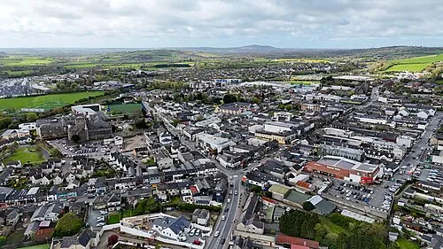 Gorey Town, County Wexford2.9 km NE
-
Ballycanew Village, County Wexford5.2 km S
-
Courtown Village, County Wexford6.2 km E
-
Clogh Village, County Wexford2.1 km SW
-
Creagh Upper Village, County Wexford3 km N
-
Ballyrahan Village, County Wexford3.4 km N
Nearby attractions & nature
Everything nearby-
Ballyminaun Hill Mountain, County Wexford1.4 km SE
-
Gorey Hill Mountain, County Wexford1.8 km N
-
Banoge River River, County Wexford2.6 km SE
-
Brackan River River, County Wexford3.1 km SE
-
Boley Hill Mountain, County Wexford6.4 km S
-
Lask River River, County Wexford3.3 km NW
-
Mount Saint Benedict Mountain, County Wexford6.1 km NW
-
Kilmichael Hill Mountain, County Wexford7.2 km NW
More nature in Ireland
-
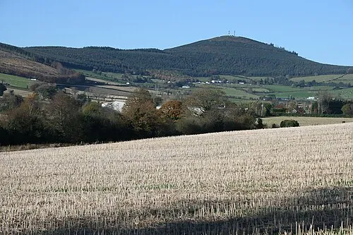 Slieveboy Mountain, County Wexford12 km W
-
Carrigroe Hill Mountain, County Wexford8.8 km SW
-
Slievegower Mountain, County Wexford9 km W
-
Knockbrandon Mountain, County Wexford9.3 km NW
-
Mountneha Wood Natural site, County Wexford7.1 km NW
-
Finthracawn Natural site, County Wexford7.4 km N
Sources & licences
Data last updated: