Bushy Park
Located in County Wicklow, Leinster Coordinates: 53°10′38″ N 6°10′05″ W
- Elevation
- 114 m
- above sea level
- Local time
- UTC+00:00
- Europe/Dublin · UTC+00:00
About Bushy Park
Bushy Park is a natural site. Location: County Wicklow, Leinster.
In comparison
- 37 sights and natural places within 10 km Carraig Una Thoir, Glencree River
Nearest towns and villages
-
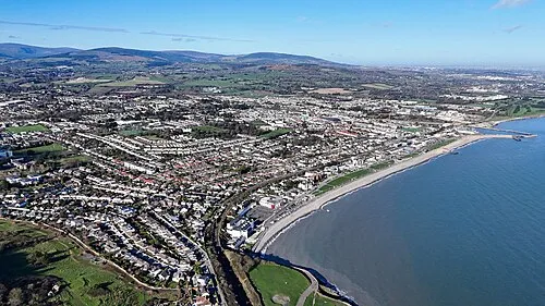 Bray Town, County Wicklow5.5 km NE
-
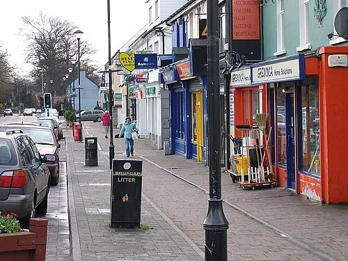 Shankill Town, Dún Laoghaire-Rathdown6.2 km NE
-
Enniskerry Village, County Wicklow1.7 km N
-
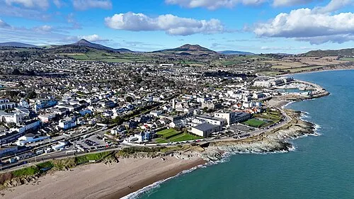 Greystones Town, County Wicklow8.1 km SE
-
Kilmacanoge Village, County Wicklow2.6 km SE
-
Little Bray Neighbourhood, County Wicklow4.4 km NE
Nearby attractions & nature
Everything nearby-
Carraig Una Thoir Mountain, County Wicklow0.9 km SE
-
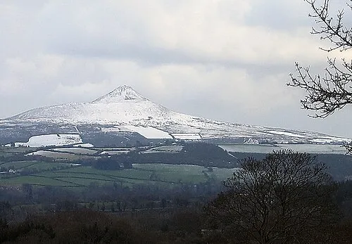 Great Sugar Loaf Mountain, County Wicklow2.8 km SE
-
Glencree River River, County Wicklow2.4 km W
-
Long Hill Mountain, County Wicklow3.4 km S
-
Knockree Mountain, County Wicklow4 km W
-
Little Sugar Loaf Mountain, County Wicklow3.7 km E
-
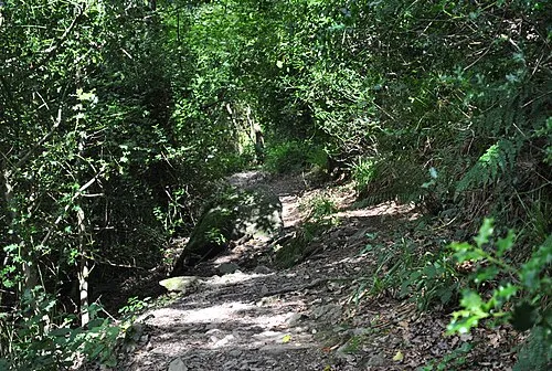 Glen of the Downs Natural site, County Wicklow5.9 km SE
-
Carrickgollogan Mountain, Dún Laoghaire-Rathdown4.5 km N
More nature in Ireland
-
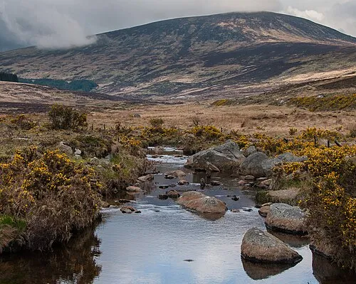 Wicklow Mountains Mountain, County Wicklow15 km SW
-
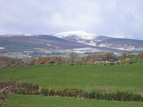 Djouce Mountain, County Wicklow7.1 km SW
-
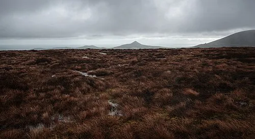 Tonduff North Mountain, County Wicklow6.6 km W
-
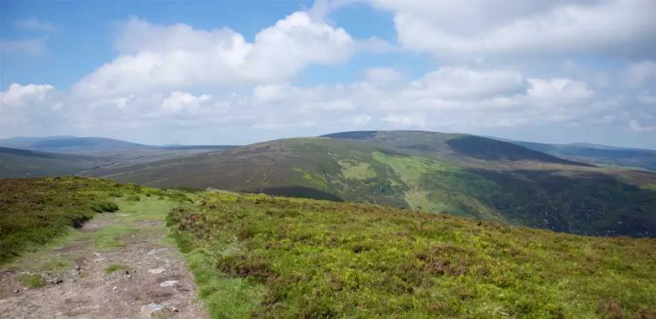 Tonduff South Mountain, County Wicklow7 km W
-
Prince William's Seat Mountain, County Wicklow5.5 km NW
-
Maulin Mountain, County Wicklow4.9 km SW
Sources & licences
Data last updated: