Glen of the Downs
Local name: Gleann Dá Ghrua
Located in County Wicklow, Leinster Coordinates: 53°08′00″ N 6°07′08″ W
- Elevation
- 185 m
- above sea level
- Local time
- UTC+00:00
- Europe/Dublin · UTC+00:00
- Airports
- DUB Dublin Airport34 km
- IOM Isle of Man Airport145 km
About Glen of the Downs
Glen of the Downs is a natural site. Location: County Wicklow, Leinster.
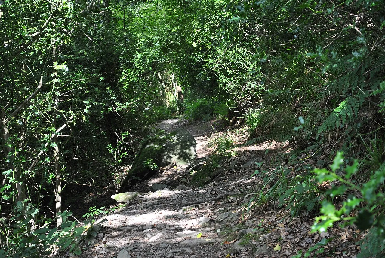
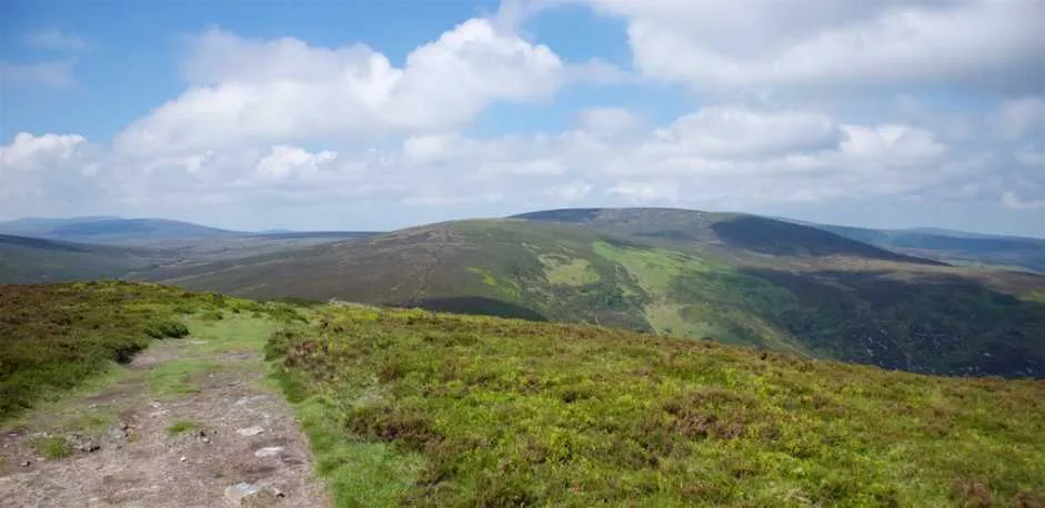
The Glen of the Downs (Irish: Gleann dá Ghrua, meaning 'The Valley of the Two Brows') is a 2 km long wooded glacial valley with steep sides rising to almost 250m on the east coast of Ireland. It contains a designated Nature Reserve comprising 59 ha, and is a Special Area of Conservation (SAC).
Source: Wikipedia · CC BY-SA 4.0
Photos of Glen of the Downs
-

Camcool11 · CC BY-SA 4.0 -

LFinn · CC BY-SA 4.0 -

LFinn · CC BY-SA 4.0 -

Klondikeger · CC BY-SA 4.0 -

Klondikeger · CC BY-SA 4.0


Climate of Glen of the Downs
Best months for sightseeingBest months for sightseeing: June–September.
This month · November
A cold month
Day 9° · Night 3° · Rain 89 mm
- Hottest month
- July (day 19°)
- Coldest month
- January (night 1°)
- Wettest month
- October (96 mm)
- Driest month
- April (60 mm)
Bars: average monthly low and high temperature. Below: precipitation. Monthly averages for 1970–2000 at about 18 km resolution, adjusted for elevation. Highlighted months are mild and relatively dry. Source: WorldClim 2.1 (CC BY 4.0).
Show values as a table
| Month | Jan | Feb | Mar | Apr | May | Jun | Jul | Aug | Sep | Oct | Nov | Dec |
|---|---|---|---|---|---|---|---|---|---|---|---|---|
| Average high (°C) | 7° | 7° | 9° | 11° | 14° | 17° | 19° | 18° | 16° | 13° | 9° | 8° |
| Average low (°C) | 1° | 2° | 3° | 4° | 6° | 9° | 11° | 11° | 9° | 7° | 3° | 2° |
| Precipitation (mm) | 93 | 71 | 69 | 60 | 61 | 62 | 60 | 80 | 77 | 96 | 89 | 95 |
Other places to visit in this season: June July August September
How to get to Glen of the Downs
The nearest airport is Dublin Airport (DUB), 34 km to the north as the crow flies. The nearest large city is Dublin, 24 km to the north.
Airports
- Dublin Airport (DUB) Dublin 34 kmnorth
- Isle of Man Airport (IOM) Castletown, Rushen 145 kmnortheast
- George Best Belfast City Airport (BHD) Belfast 166 kmnorth
Nearby large cities
- Dublin Population: 1M 24 kmnorth
- Belfast Population: 348K 163 kmnorth
- Limerick Population: 102.3K 176 kmwest
- Birkenhead Population: 325.3K 209 kmeast
- Cork Population: 224K 211 kmsouthwest
Straight-line distances; road distances are longer. Airport data: OurAirports.
Day trips from Glen of the Downs
Within 100 km: 292 historic and cultural sites, 423 natural sites, 291 lakes, rivers and coasts.
0–25 km179 places
- Wicklow Mountains Mountain 15 kmW
- Sandymount Strand Beach 23 kmN
- Dalkey Island Island 15 kmN
- Lough Tay Lake 11 kmW
25–60 km376 places
- Rockabill Island 52 kmN
- Portmarnock Beach Beach 31 kmN
- Skerries Islands Island 50 kmN
- Shenicks Island Island 49 kmN
60–100 km451 places
- Pollboy Bridge Landmark 69 kmNW
- Whistling Sands Beach 99 kmE
- Curracloe Beach Beach 85 kmS
- Bardsey Island Island 99 kmSE
Straight-line distances.
Nearest towns and villages
-
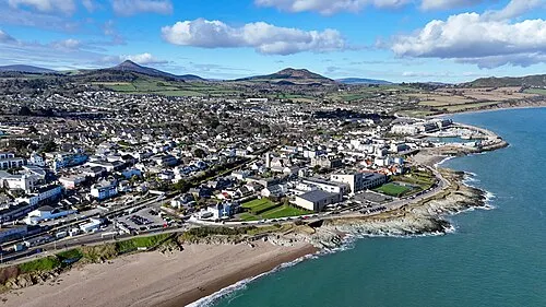 Greystones Town, County Wicklow3.8 km E
-
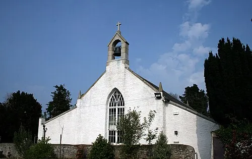 Kilquade Town, County Wicklow4.6 km SE
-
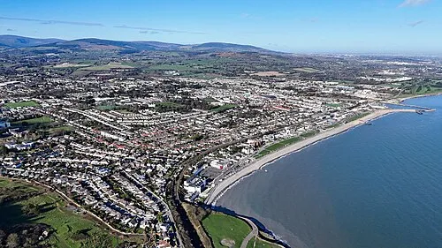 Bray Town, County Wicklow7.9 km N
-
Kilpedder Village, County Wicklow2.8 km S
-
Kilmacanoge Village, County Wicklow3.9 km N
-
Charlesland Village, County Wicklow3.8 km E
Nearby attractions & nature
Everything nearby-
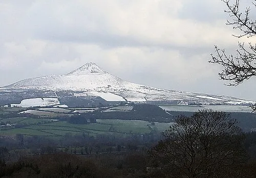 Great Sugar Loaf Mountain, County Wicklow3.1 km NW
-
Rockfield Mountain, County Wicklow2.2 km SE
-
Little Sugar Loaf Mountain, County Wicklow3.6 km N
-
Cobblers Bulk Natural site, County Wicklow5.1 km E
-
Long Hill Mountain, County Wicklow4.6 km W
-
Carraig Una Thoir Mountain, County Wicklow5.1 km NW
-
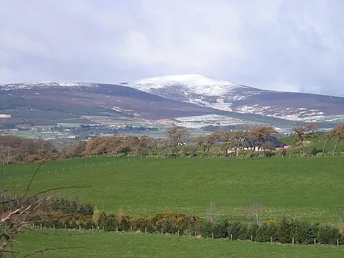 Djouce Mountain, County Wicklow8.1 km W
-
Bray Head Hill Mountain, County Wicklow5.5 km NE
More nature in Ireland
-
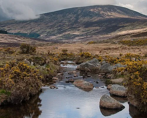 Wicklow Mountains Mountain, County Wicklow15 km W
-
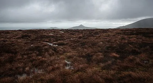 Tonduff North Mountain, County Wicklow10 km W
-
 Tonduff South Mountain, County Wicklow10 km W
-
Callowhill Mountain, County Wicklow8.5 km S
-
Dunranhill Mountain, County Wicklow8.6 km S
-
Knockree Mountain, County Wicklow9 km NW
Sources & licences
Data last updated: · 2 independent sources