- Elevation
- 242 m
- above sea level
- Local time
- UTC+00:00
- Europe/Dublin · UTC+00:00
- Airports
- DUB Dublin Airport29 km
- IOM Isle of Man Airport143 km
About Carraig Una Thoir
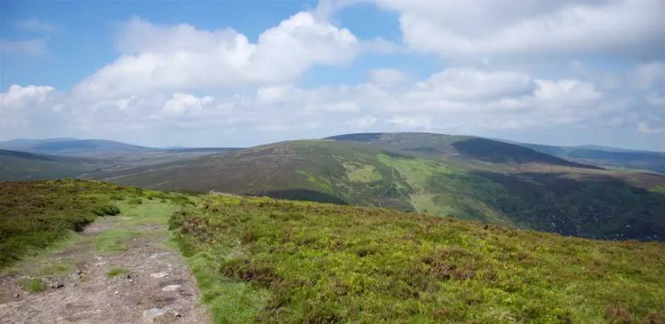
Carraig Una Thoir is a mountain. Location: County Wicklow, Leinster. Elevation: 242 m. The best months to visit are June–September. The nearest airport is Dublin Airport (29 km). Nearby sights include Great Sugar Loaf and Bushy Park.
Climate of Carraig Una Thoir
Best months for sightseeingBest months for sightseeing: June–September.
This month · November
A cold month
Day 9° · Night 3° · Rain 77 mm
- Hottest month
- July (day 18°)
- Coldest month
- January (night 1°)
- Wettest month
- December (82 mm)
- Driest month
- April (52 mm)
Bars: average monthly low and high temperature. Below: precipitation. Monthly averages for 1970–2000 at about 18 km resolution, adjusted for elevation. Highlighted months are mild and relatively dry. Source: WorldClim 2.1 (CC BY 4.0).
Show values as a table
| Month | Jan | Feb | Mar | Apr | May | Jun | Jul | Aug | Sep | Oct | Nov | Dec |
|---|---|---|---|---|---|---|---|---|---|---|---|---|
| Average high (°C) | 7° | 7° | 9° | 11° | 14° | 16° | 18° | 18° | 16° | 13° | 9° | 7° |
| Average low (°C) | 1° | 1° | 2° | 3° | 6° | 8° | 10° | 10° | 8° | 6° | 3° | 2° |
| Precipitation (mm) | 78 | 62 | 60 | 52 | 53 | 58 | 58 | 75 | 68 | 81 | 77 | 82 |
Other places to visit in this season: June July August September
How to get to Carraig Una Thoir
The nearest airport is Dublin Airport (DUB), 29 km to the north as the crow flies. The nearest large city is Dublin, 19 km to the north.
Airports
- Dublin Airport (DUB) Dublin 29 kmnorth
- Isle of Man Airport (IOM) Castletown, Rushen 143 kmnortheast
- George Best Belfast City Airport (BHD) Belfast 162 kmnorth
Nearby large cities
- Dublin Population: 1M 19 kmnorth
- Belfast Population: 348K 159 kmnorth
- Limerick Population: 102.3K 175 kmwest
- Birkenhead Population: 325.3K 211 kmeast
- Cork Population: 224K 212 kmsouthwest
Straight-line distances; road distances are longer. Airport data: OurAirports.
Nearest towns and villages
-
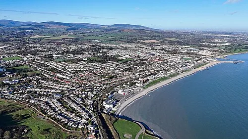 Bray Town, County Wicklow5.1 km NE
-
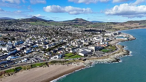 Greystones Town, County Wicklow7.2 km SE
-
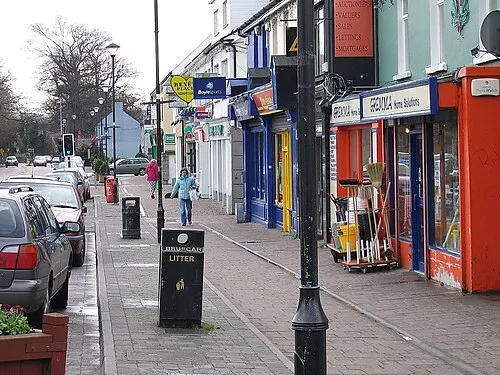 Shankill Town, Dún Laoghaire-Rathdown6.2 km N
-
Kilmacanoge Village, County Wicklow1.6 km SE
-
Enniskerry Village, County Wicklow2.3 km NW
-
Little Bray Neighbourhood, County Wicklow4.2 km NE
Nearby attractions & nature
Everything nearby-
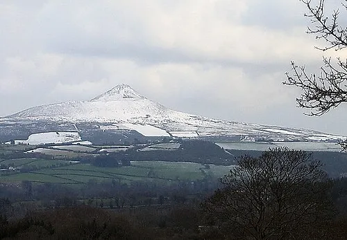 Great Sugar Loaf Mountain, County Wicklow2.2 km S
-
Bushy Park Natural site, County Wicklow0.9 km NW
-
Little Sugar Loaf Mountain, County Wicklow2.7 km E
-
Long Hill Mountain, County Wicklow3.3 km SW
-
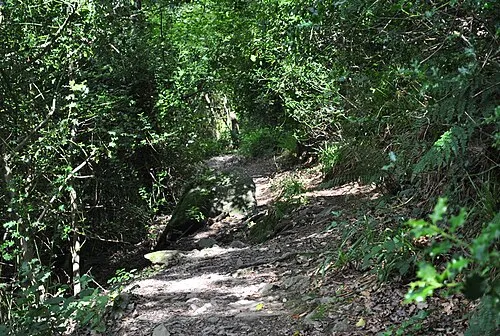 Glen of the Downs Natural site, County Wicklow5.1 km SE
-
Glencree River River, County Wicklow3.1 km W
-
Knockree Mountain, County Wicklow4.9 km W
-
Glencullen River River, County Wicklow2.4 km NE
More nature in Ireland
-
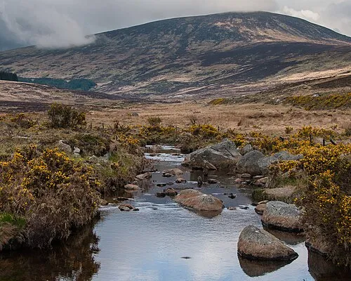 Wicklow Mountains Mountain, County Wicklow16 km SW
-
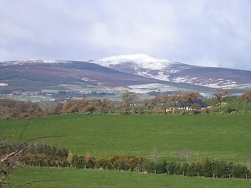 Djouce Mountain, County Wicklow7.3 km SW
-
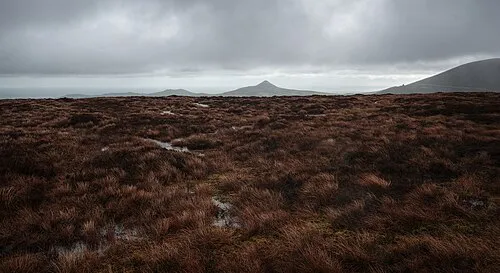 Tonduff North Mountain, County Wicklow7.3 km W
-
 Tonduff South Mountain, County Wicklow7.7 km W
-
Prince William's Seat Mountain, County Wicklow6.5 km NW
-
Bray Head Hill Mountain, County Wicklow4.9 km E
Sources & licences
Data last updated: