Great Sugar Loaf
Local name: Ó Cualann
Located in County Wicklow, Leinster Coordinates: 53°09′15″ N 6°09′02″ W
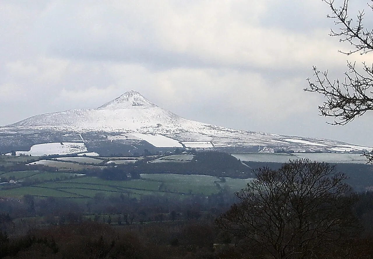
- Elevation
- 501 m
- above sea level
- Local time
- UTC+00:00
- Europe/Dublin · UTC+00:00
About Great Sugar Loaf
Great Sugar Loaf is a mountain. Location: County Wicklow, Leinster. Elevation: 501 m.
Great Sugar Loaf (Irish: Ó Cualann, meaning 'lump of Cualu') at 501 metres (1,644 ft), is the 404th–highest peak in Ireland on the Arderin scale, however, being below 600 m it does not rank on the Vandeleur-Lynam or Hewitt scales. The mountain is in the far northeastern section of the Wicklow Mountains, in Ireland, and overlooks the village of Kilmacanogue. The profile of the mountain means it can be mistaken for a dormant volcano.
Read more on Wikipedia Text: Wikipedia contributors · CC BY-SA 4.0 · shortened
At a glance
- Topographic prominence
- 216 m
Source: Wikidata
In comparison
- No. 474 of 2106 mountains in Ireland by elevation
- 34 sights and natural places within 10 km Carraig Una Thoir, Long Hill
Nearest towns and villages
-
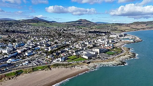 Greystones Town, County Wicklow6 km E
-
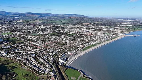 Bray Town, County Wicklow6.4 km NE
-
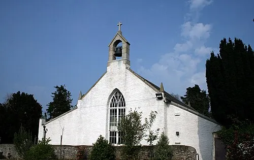 Kilquade Town, County Wicklow7.7 km SE
-
Kilmacanoge Village, County Wicklow1.8 km NE
-
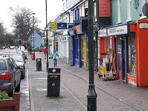 Shankill Town, Dún Laoghaire-Rathdown8.2 km N
-
Kilmurry Village, County Wicklow0.9 km SE
Nearby attractions & nature
Everything nearby-
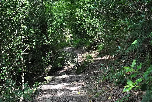 Glen of the Downs Natural site, County Wicklow3.1 km SE
-
Carraig Una Thoir Mountain, County Wicklow2.2 km N
-
Long Hill Mountain, County Wicklow2.3 km W
-
Little Sugar Loaf Mountain, County Wicklow2.6 km NE
-
Bushy Park Natural site, County Wicklow2.8 km NW
-
Cascade Powerscourt Natural site, County Wicklow4.1 km W
-
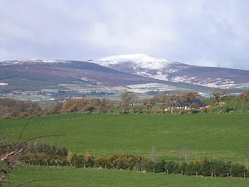 Djouce Mountain, County Wicklow6.5 km SW
-
Glencree River River, County Wicklow3.8 km NW
More nature in Ireland
-
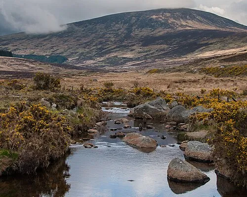 Wicklow Mountains Mountain, County Wicklow15 km SW
-
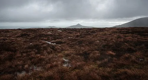 Tonduff North Mountain, County Wicklow7.6 km W
-
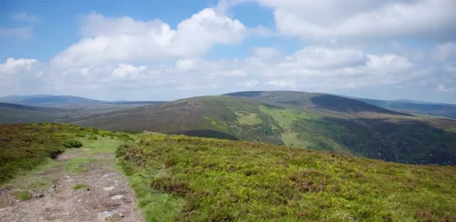 Tonduff South Mountain, County Wicklow7.8 km W
-
Knockree Mountain, County Wicklow6 km NW
-
Prince William's Seat Mountain, County Wicklow8 km NW
-
Bray Head Hill Mountain, County Wicklow5.2 km NE
Sources & licences
Data last updated: · 2 independent sources