Carrickmines
Located in Dún Laoghaire-Rathdown, Leinster Coordinates: 53°15′15″ N 6°10′31″ W
- Elevation
- 68 m
- above sea level
- Local time
- UTC+00:00
- Europe/Dublin · UTC+00:00
- Airports
- DUB Dublin Airport20 km
- IOM Isle of Man Airport138 km
About Carrickmines
Carrickmines is a village. Location: Dún Laoghaire-Rathdown, Leinster. Elevation: 68 m.
Carrickmines (Irish: Carraig Mhaighin, meaning 'Plateau of rock') is an outer suburb of Dublin in Dún Laoghaire–Rathdown, County Dublin, Ireland. The area, still semi-rural, was historically on the border of English control and featured a defensive construction, Carrickmines Castle, which became the subject of national controversy during the building of a late stage of Dublin's M50 orbital motorway.
Source: Wikipedia · CC BY-SA 4.0
Climate of Carrickmines
Best months for sightseeingBest months for sightseeing: June–September.
This month · November
A cold month
Day 10° · Night 4° · Rain 95 mm
- Hottest month
- July (day 20°)
- Coldest month
- January (night 2°)
- Wettest month
- December (106 mm)
- Driest month
- July (65 mm)
Bars: average monthly low and high temperature. Below: precipitation. Monthly averages for 1970–2000 at about 18 km resolution, adjusted for elevation. Highlighted months are mild and relatively dry. Source: WorldClim 2.1 (CC BY 4.0).
Show values as a table
| Month | Jan | Feb | Mar | Apr | May | Jun | Jul | Aug | Sep | Oct | Nov | Dec |
|---|---|---|---|---|---|---|---|---|---|---|---|---|
| Average high (°C) | 8° | 8° | 10° | 12° | 15° | 18° | 20° | 19° | 17° | 14° | 10° | 9° |
| Average low (°C) | 2° | 3° | 3° | 4° | 7° | 10° | 12° | 11° | 10° | 7° | 4° | 3° |
| Precipitation (mm) | 101 | 78 | 77 | 67 | 69 | 68 | 65 | 85 | 85 | 101 | 95 | 106 |
Other places to visit in this season: June July August September
How to get to Carrickmines
The nearest airport is Dublin Airport (DUB), 20 km to the north as the crow flies. The nearest large city is Dublin, 10 km to the northwest.
Airports
- Dublin Airport (DUB) Dublin 20 kmnorth
- Isle of Man Airport (IOM) Castletown, Rushen 138 kmnortheast
- George Best Belfast City Airport (BHD) Belfast 153 kmnorth
Nearby large cities
- Dublin Population: 1M 10 kmnorthwest
- Belfast Population: 348K 150 kmnorth
- Limerick Population: 102.3K 177 kmwest
- Birkenhead Population: 325.3K 211 kmeast
- Liverpool Population: 496.8K 214 kmeast
Straight-line distances; road distances are longer. Airport data: OurAirports.
Nearby attractions & nature
Everything nearby-
Shankill Castle Historic site, Dún Laoghaire-Rathdown3.8 km SE
-
Three Rock TV Mast Landmark, Dún Laoghaire-Rathdown4.3 km W
-
Three Rock Mountain Mountain, Dún Laoghaire-Rathdown4.1 km W
-
Carrickgollogan Mountain, Dún Laoghaire-Rathdown4.3 km S
-
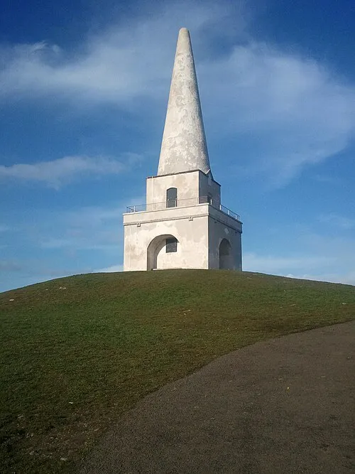 Killiney Hill Mountain, Dún Laoghaire-Rathdown4.4 km E
-
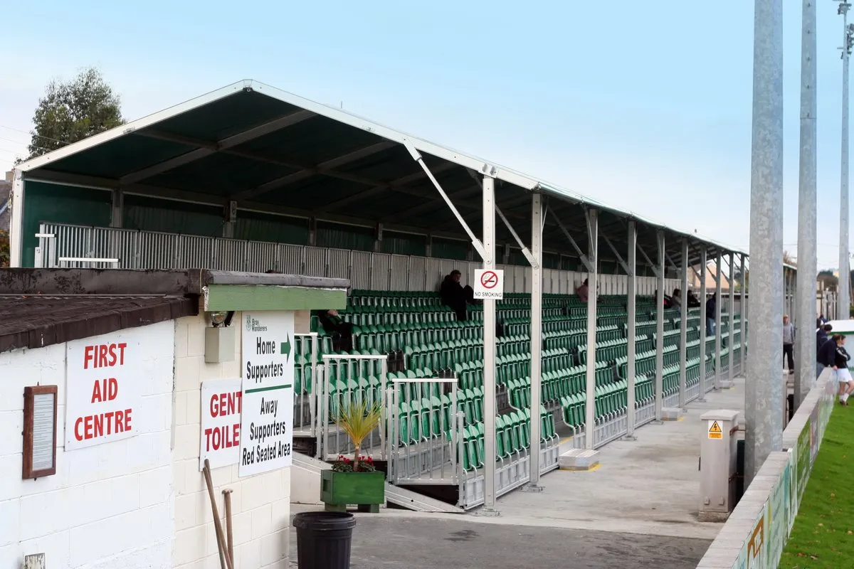 Carlisle Grounds Landmark, Ireland7.3 km SE
Sources & licences
Data last updated: · 2 independent sources