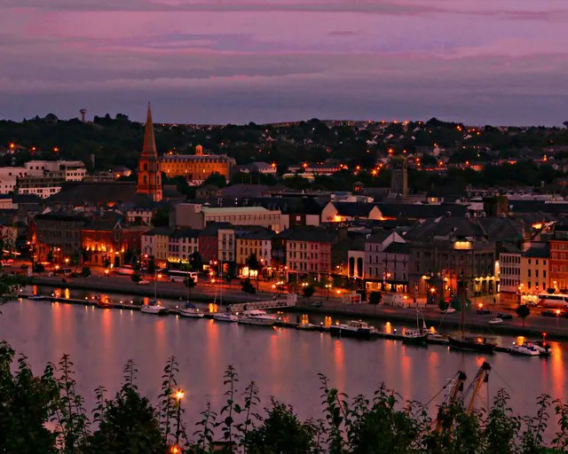
- Population
- 127,363
- 127.4K
- Elevation
- 26 m
- above sea level
- Local time
- UTC+00:00
- Europe/Dublin · UTC+00:00
- Places inside
- 301
- listed under Waterford
- Airports
- ORK Cork International Airport103 km
- SNN Shannon Airport131 km
About Waterford
Waterford is a district. Location: Munster, Ireland. Population: 127,363. The best months to visit are June–September. The nearest airport is Cork International Airport (103 km). Nearby sights include Little Island and Black Water.
Climate of Waterford
Best months for sightseeingBest months for sightseeing: June–September.
This month · November
A cold month
Day 11° · Night 5° · Rain 96 mm
- Hottest month
- July (day 20°)
- Coldest month
- January (night 3°)
- Wettest month
- January (109 mm)
- Driest month
- July (54 mm)
Bars: average monthly low and high temperature. Below: precipitation. Monthly averages for 1970–2000 at about 18 km resolution, adjusted for elevation. Highlighted months are mild and relatively dry. Source: WorldClim 2.1 (CC BY 4.0).
Show values as a table
| Month | Jan | Feb | Mar | Apr | May | Jun | Jul | Aug | Sep | Oct | Nov | Dec |
|---|---|---|---|---|---|---|---|---|---|---|---|---|
| Average high (°C) | 8° | 9° | 11° | 13° | 15° | 18° | 20° | 20° | 17° | 14° | 11° | 9° |
| Average low (°C) | 3° | 3° | 4° | 5° | 8° | 10° | 12° | 12° | 10° | 8° | 5° | 4° |
| Precipitation (mm) | 109 | 86 | 73 | 58 | 64 | 56 | 54 | 75 | 77 | 100 | 96 | 107 |
Other places to visit in this season: June July August September
How to get to Waterford
The nearest airport is Cork International Airport (ORK), 103 km to the southwest as the crow flies. The nearest large city is Cork, 99 km to the west.
Airports
- Cork International Airport (ORK) Cork 103 kmsouthwest
- Shannon Airport (SNN) Shannon 131 kmnorthwest
- Dublin Airport (DUB) Dublin 145 kmnortheast
Nearby large cities
- Cork Population: 224K 99 kmwest
- Limerick Population: 102.3K 111 kmnorthwest
- Dublin Population: 1M 136 kmnortheast
- Swansea Population: 300.4K 231 kmeast
- Belfast Population: 348K 275 kmnorth
Straight-line distances; road distances are longer. Airport data: OurAirports.
Places in Waterford
301 placesCities & villages34
- Bawnfune · Village
- Boheravaghera Cross Roads · Village
- Boheraval Cross Roads · Village
- Bohernamuck Cross Roads · Village
- Brenan Cross Roads · Village
- Browns Cross Roads · Village
- Buck’s Cross Roads · Village
- Bunmahon · Village
- Calaiste · Village
- Callaghane Bridge · Village
- Carrickahilla Cross Roads · Village
- Carrickphilip · Village
- Carrigard Cross Roads · Village
- Carrigcastle · Village
- Carroll’s Cross Roads · Village
- Carrowgarriff · Village
- Castlerichard · Village
- Clashnadarriv · Village
- Cleary’s Cross Roads · Village
- Clodiagh Bridge · Village
- Clonea · Village
- Clooncogaile · Village
- Colligan Bridge · Village
- Corbally · Village
- Corgarve · Village
- Corrandromaun Cross Roads · Village
- Cross · Village
- Curragh · Village
- Curraheen · Village
- Dalligan Bridge · Village
- Deerpark Bridge · Village
- D’Loughtane Cross Roads · Village
- Downey’s Cross Roads · Village
- Dreludatogher · Village
Mountains & nature22
- Bleantasour Mountain · Mountain
- Breo · Mountain
- Carnglas · Mountain
- Carraig na nGabhar · Mountain
- Carrigaderragh · Mountain
- Carronadavderg · Mountain
- Cheekpoint Hill · Mountain
- Clashabeema · Mountain
- Cnoc na nEasc · Mountain
- Cnoc na Sige · Mountain
- Cnoc Si Ghamhna · Mountain
- Coumaraglin Mountain · Mountain
- Coumfea · Mountain
- Coumfea North Top · Mountain
- Coumfea West Top · Mountain
- Creadan Bay · Natural site
- Crohaun · Mountain
- Croughaun Hill · Mountain
- Crow Hill · Mountain
- Curraheenavoher Hill · Mountain
- Donnell's Hill · Mountain
- Dromona Hill · Mountain
Lakes, rivers & coasts1
- Boat Strand · Beach
Heritage & sights3
- Carriglea Convent · Attraction
- Castle Dodard · Historic site
- De La Poer Tower · Landmark
Nearby attractions & nature
Everything nearby-
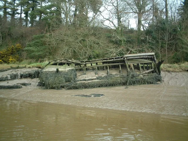 Little Island Island, Munster6.6 km E
-
Black Water River, County Kilkenny3.7 km N
-
Corluddy Mountain, County Kilkenny5.2 km NW
-
Johns River River, Ireland4.2 km NE
-
The Pines Natural site, Munster8.4 km W
-
Ballyscanlan Lough Lake, Munster8.4 km SW
Sources & licences
Data last updated: