Tory Island DGPS-Transmitter
Located in County Donegal, Ulster Coordinates: 55°16′22″ N 8°14′56″ W
- Local time
- UTC+00:00
- Europe/Dublin · UTC+00:00
- Elevation
- 1 m
- above sea level
- Airports
- CFN Donegal Airport26 km
- LDY City of Derry Airport74 km
About Tory Island DGPS-Transmitter
Tory Island DGPS-Transmitter is a landmark. Location: County Donegal, Ulster. The best months to visit are August. The nearest airport is Donegal Airport (26 km). Nearby sights include Tory Island Lighthouse and Tory Island.
Photos of Tory Island DGPS-Transmitter
-
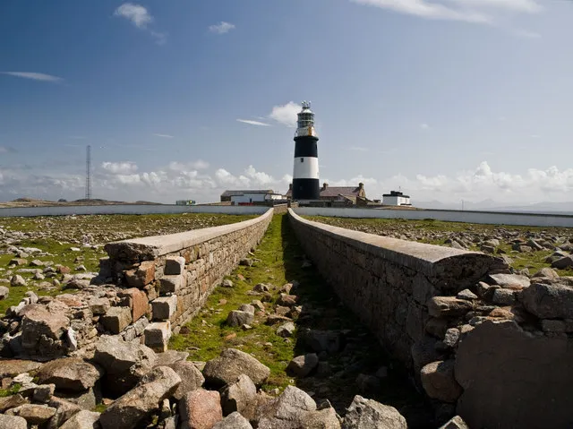
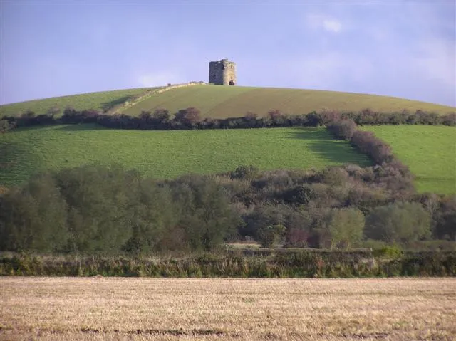
Tory Island Lighthouse David Baird · CC BY-SA 2.0

Climate of Tory Island DGPS-Transmitter
Best months for sightseeingBest months for sightseeing: August.
This month · November
A wet month
Day 11° · Night 7° · Rain 169 mm
- Hottest month
- August (day 17°)
- Coldest month
- February (night 4°)
- Wettest month
- January (174 mm)
- Driest month
- May (77 mm)
Bars: average monthly low and high temperature. Below: precipitation. Monthly averages for 1970–2000 at about 18 km resolution, adjusted for elevation. Highlighted months are mild and relatively dry. Source: WorldClim 2.1 (CC BY 4.0).
Show values as a table
| Month | Jan | Feb | Mar | Apr | May | Jun | Jul | Aug | Sep | Oct | Nov | Dec |
|---|---|---|---|---|---|---|---|---|---|---|---|---|
| Average high (°C) | 9° | 9° | 9° | 10° | 13° | 15° | 16° | 17° | 16° | 13° | 11° | 10° |
| Average low (°C) | 4° | 4° | 4° | 5° | 7° | 10° | 12° | 12° | 11° | 9° | 7° | 6° |
| Precipitation (mm) | 174 | 123 | 127 | 83 | 77 | 85 | 109 | 121 | 141 | 173 | 169 | 169 |
Other places to visit in this season: August
How to get to Tory Island DGPS-Transmitter
The nearest airport is Donegal Airport (CFN), 26 km to the south as the crow flies. The nearest large city is Belfast, 167 km to the southeast.
Airports
- Donegal Airport (CFN) Donegal 26 kmsouth
- City of Derry Airport (LDY) Derry, Derry and Strabane 74 kmeast
- Islay Airport (ILY) Isle of Islay, Argyll and Bute 134 kmeast
Nearby large cities
- Belfast Population: 348K 167 kmsoutheast
- Dublin Population: 1M 252 kmsoutheast
- Glasgow Population: 626.4K 260 kmeast
- Limerick Population: 102.3K 291 kmsouth
- Edinburgh Population: 515K 327 kmeast
Straight-line distances; road distances are longer. Airport data: OurAirports.
Day trips from Tory Island DGPS-Transmitter
Within 100 km: 38 historic and cultural sites, 568 natural sites, 458 lakes, rivers and coasts.
0–25 km65 places
- Umfin Island Island 20 kmS
- Tory Island Island 2 kmSE
- Inishinny Island 23 kmS
- Inishbofin Island 12 kmSE
25–60 km511 places
- Island Roy Island 31 kmE
- Lisfannon Beach Beach 53 kmE
- Rutland Island Island 36 kmS
- Inishkeeragh Island 38 kmSW
60–100 km488 places
- Portstewart Beach Beach 97 kmE
- Benone Beach Beach 88 kmE
- Portstewart Strand Beach 95 kmE
- Stookaruddan Island 62 kmE
Straight-line distances.
Nearby attractions & nature
Everything nearby-
Tory Island Lighthouse Landmark, County Donegal<0.1 km SW
-
Tory Island Island, County Donegal2 km SE
-
Camusmore Bay Natural site, County Donegal2 km SE
-
The Anvil Mountain, County Donegal3.8 km E
-
 Inishdooey Island, County Donegal10 km SE
-
Inishbeg Island, County Donegal9.4 km SE
-
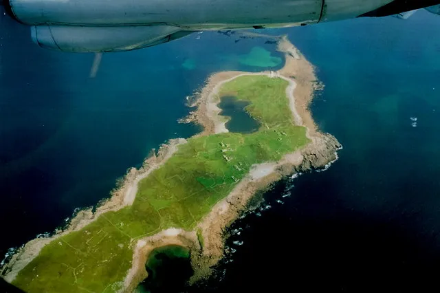 Inishsirrer Island, County Donegal18 km S
-
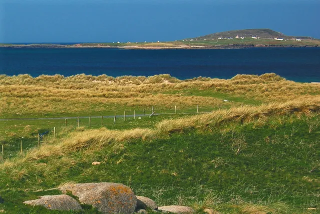 Inishmeane Island, County Donegal20 km S
Nearest towns and villages
-
West Town Village, County Donegal1.7 km SE
-
East Town Village, County Donegal3.2 km SE
-
Meenlaragh Village, County Donegal15 km S
-
Falcarragh Village, County Donegal18 km SE
More sights in County Donegal
-
Cloughaneely Landmark, County Donegal18 km SE
-
Doe Castle Historic site, County Donegal29 km SE
-
Dunlewy Lake & Poisoned Glen Historic site, County Donegal30 km S
-
ERRIGAL-MOUNTAIN, Co. DONEGAL. Historic site, County Donegal30 km S
-
Glenveagh Castle Historic site, County Donegal32 km SE
-
 Burt Castle Historic site, County Donegal55 km SE
Sources & licences
Data last updated: