Tomassuoli-Pugliesi
Located in Perano, Province of Chieti Coordinates: 42°06′47″ N 14°23′16″ E
- Population
- 88
- 88
- Elevation
- 101 m
- above sea level
- Local time
- UTC+01:00
- Europe/Rome · UTC+01:00
- Airports
- PSR Abruzzo Airport39 km
- FOG Foggia Gino Lisa Airport122 km
About Tomassuoli-Pugliesi
Tomassuoli-Pugliesi is a village. Location: Perano, Province of Chieti. Population: 88. Elevation: 101 m. The best months to visit are May–June, September–October. The nearest airport is Abruzzo Airport (39 km). Nearby sights include Monte Marcone and Chiesa della Madonna Addolorata.
Photos of Tomassuoli-Pugliesi
-
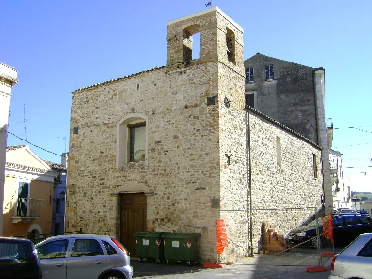
Chiesa di San Pietro Controllore Fiscale · Public domain -
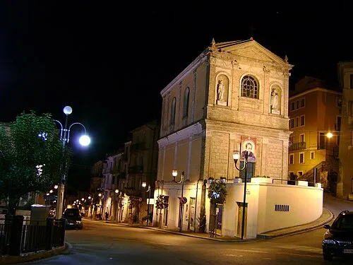
Chiesa della Madonna Addolorata Zitumassin · Public domain -
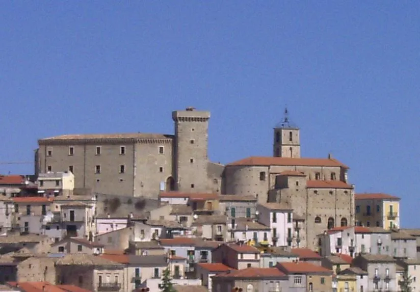
Castello ducale di Casoli Medan · CC BY 3.0 -
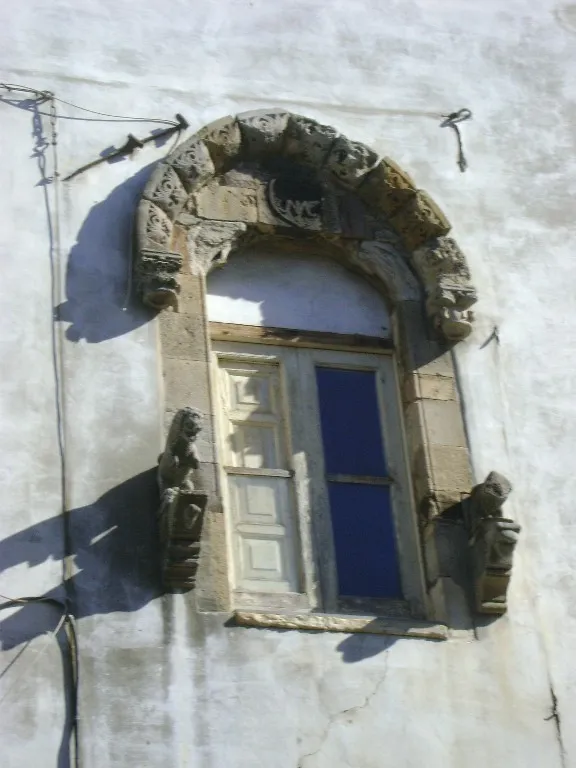
Casa De Marco Controllore Fiscale · Public domain -
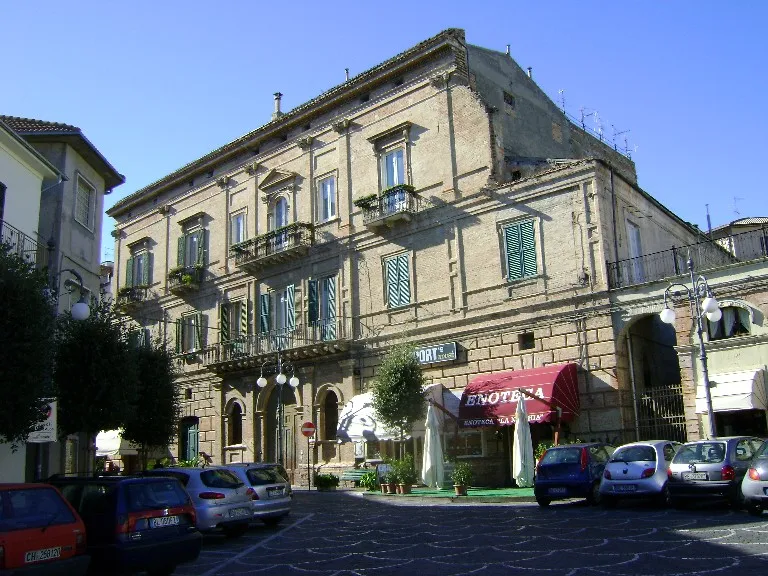
Palazzo Spaventa Controllore Fiscale · Public domain


Climate of Tomassuoli-Pugliesi
Best months for sightseeingBest months for sightseeing: May–June, September–October.
This month · November
Outside the best season
Day 16° · Night 8° · Rain 73 mm
- Hottest month
- July (day 29°)
- Coldest month
- January (night 4°)
- Wettest month
- November (73 mm)
- Driest month
- July (35 mm)
Bars: average monthly low and high temperature. Below: precipitation. Monthly averages for 1970–2000 at about 18 km resolution, adjusted for elevation. Highlighted months are mild and relatively dry. Source: WorldClim 2.1 (CC BY 4.0).
Show values as a table
| Month | Jan | Feb | Mar | Apr | May | Jun | Jul | Aug | Sep | Oct | Nov | Dec |
|---|---|---|---|---|---|---|---|---|---|---|---|---|
| Average high (°C) | 11° | 12° | 14° | 17° | 22° | 26° | 29° | 29° | 25° | 21° | 16° | 12° |
| Average low (°C) | 4° | 4° | 6° | 8° | 13° | 17° | 19° | 19° | 16° | 12° | 8° | 5° |
| Precipitation (mm) | 47 | 46 | 47 | 51 | 38 | 44 | 35 | 49 | 60 | 66 | 73 | 61 |
Other places to visit in this season: May June September October
How to get to Tomassuoli-Pugliesi
The nearest airport is Abruzzo Airport (PSR), 39 km to the northwest as the crow flies. The nearest large city is Split, 228 km to the northeast.
Airports
- Abruzzo Airport (PSR) Pescara 39 kmnorthwest
- Foggia Gino Lisa Airport (FOG) Foggia (FG) 122 kmsoutheast
- Naples International Airport (NAP) Napoli 137 kmsouth
Nearby large cities
- Split Population: 149.8K 228 kmnortheast
- Mostar Population: 104.5K 312 kmnortheast
- Rijeka Population: 108K 357 kmnorth
- Zenica Population: 164.4K 368 kmnortheast
- Banja Luka Population: 221.1K 374 kmnortheast
Straight-line distances; road distances are longer. Airport data: OurAirports.
Day trips from Tomassuoli-Pugliesi
Within 100 km: 148 historic and cultural sites, 185 natural sites, 32 lakes, rivers and coasts.
0–25 km45 places
- Spiaggia di Termini Beach 22 kmNE
- Spiaggia di Valle Caterina Beach 20 kmNE
- Spiaggia diMarina di San Vito Beach 22 kmN
- Spiaggia di Marina Beach 18 kmNE
25–60 km116 places
- Ripari di Giobbe Beach 29 kmN
- Vallone Grande Natural site 51 kmSE
- Valle Covatta Natural site 57 kmS
- Spiaggia Salvo Marina Beach 32 kmE
60–100 km204 places
- Giulianova Beach Beach 81 kmNW
- Cala Spido Beach 92 kmE
- Spiaggia Marina di Lesina Beach 81 kmE
- Spiaggia Lido Cormoran Beach 82 kmE
Straight-line distances.
Nearby attractions & nature
Everything nearby-
Monte Marcone Mountain, Atessa2.4 km E
-
Chiesa della Madonna Addolorata Attraction, Atessa6.9 km SE
-
Chiesa di San Pietro Attraction, Atessa6.6 km SE
-
Casa De Marco Historic site, Atessa6.7 km SE
-
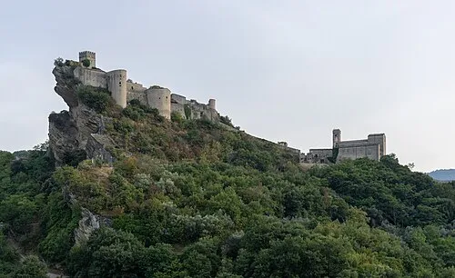 Castello di Roccascalegna Historic site, Roccascalegna8.9 km SW
-
Castello ducale di Casoli Historic site, Casoli7.9 km W
Sources & licences
Data last updated: · 2 independent sources