Roio del Sangro
Located in Province of Chieti, Abruzzo Coordinates: 41°54′42″ N 14°22′26″ E
- Population
- 94
- 94
- Elevation
- 851 m
- above sea level
- Local time
- UTC+01:00
- Europe/Rome · UTC+01:00
- Places inside
- 1
- listed under Roio del Sangro
- Airports
- PSR Abruzzo Airport60 km
- FOG Foggia Gino Lisa Airport110 km
About Roio del Sangro
Roio del Sangro is a municipality. Location: Province of Chieti, Abruzzo. Population: 94. Elevation: 851 m. The best months to visit are June–September. The nearest airport is Abruzzo Airport (60 km). Nearby sights include Chiesa di Santa Maria del Monte and Colle Lettica.
Photos of Roio del Sangro
-
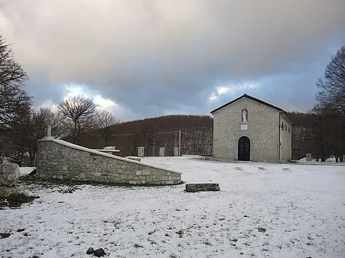
Chiesa di Santa Maria del Monte Pietro · CC BY-SA 4.0 -
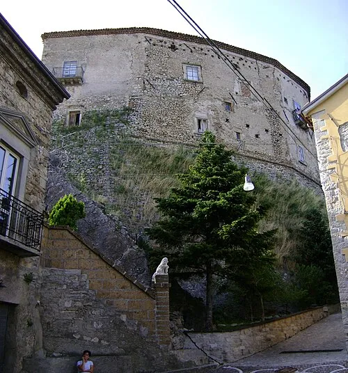
Castello Franceschelli Zitumassin · Public domain -
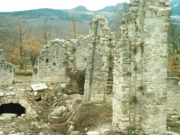
Trebula The original uploader was Rafaniello at Italian Wikipedia · CC BY-SA 3.0 -
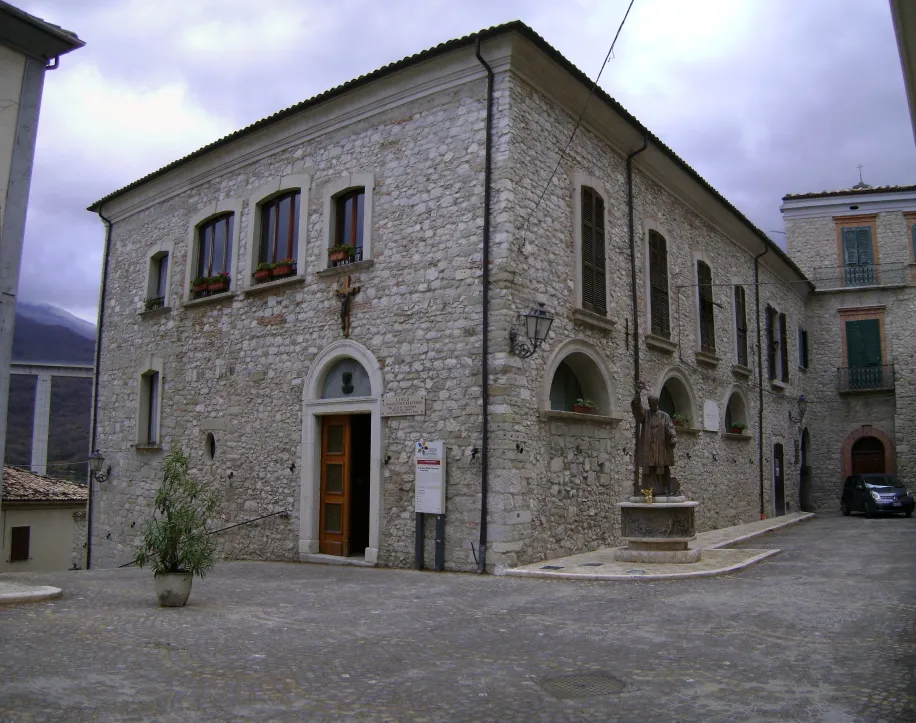
Casa Caracciolo Zitumassin · Public domain


Climate of Roio del Sangro
Best months for sightseeingBest months for sightseeing: June–September.
This month · November
A cold month
Day 11° · Night 5° · Rain 74 mm
- Hottest month
- August (day 25°)
- Coldest month
- February (night 0°)
- Wettest month
- November (74 mm)
- Driest month
- July (38 mm)
Bars: average monthly low and high temperature. Below: precipitation. Monthly averages for 1970–2000 at about 18 km resolution, adjusted for elevation. Highlighted months are mild and relatively dry. Source: WorldClim 2.1 (CC BY 4.0).
Show values as a table
| Month | Jan | Feb | Mar | Apr | May | Jun | Jul | Aug | Sep | Oct | Nov | Dec |
|---|---|---|---|---|---|---|---|---|---|---|---|---|
| Average high (°C) | 7° | 7° | 9° | 12° | 17° | 22° | 25° | 25° | 21° | 16° | 11° | 8° |
| Average low (°C) | 1° | 0° | 2° | 5° | 10° | 13° | 16° | 16° | 13° | 9° | 5° | 2° |
| Precipitation (mm) | 48 | 49 | 49 | 55 | 48 | 44 | 38 | 46 | 58 | 64 | 74 | 58 |
Other places to visit in this season: June July August September
How to get to Roio del Sangro
The nearest airport is Abruzzo Airport (PSR), 60 km to the north as the crow flies. The nearest large city is Split, 245 km to the northeast.
Airports
- Abruzzo Airport (PSR) Pescara 60 kmnorth
- Foggia Gino Lisa Airport (FOG) Foggia (FG) 110 kmsoutheast
- Naples International Airport (NAP) Napoli 114 kmsouth
Nearby large cities
- Split Population: 149.8K 245 kmnortheast
- Rijeka Population: 108K 379 kmnorth
Straight-line distances; road distances are longer. Airport data: OurAirports.
Day trips from Roio del Sangro
Within 100 km: 149 historic and cultural sites, 196 natural sites, 37 lakes, rivers and coasts.
0–25 km39 places
- Monte Tutoglio Mountain 10 kmN
- Serra Tre Monti Mountain 17 kmW
- Monte Totila Mountain 11 kmNW
- Monte Tazi Mountain 24 kmNW
25–60 km139 places
- Ripari di Giobbe Beach 51 kmN
- Vallone Grande Natural site 38 kmSE
- Valle Covatta Natural site 37 kmSE
- Spiaggia Salvo Marina Beach 37 kmNE
60–100 km204 places
- Torre Mileto Beach 99 kmE
- Spiaggia dei Sassolini Beach 93 kmSW
- Cala Spido Beach 96 kmE
- Spiaggia Marina di Lesina Beach 80 kmE
Straight-line distances.
Places in Roio del Sangro
1 placeBar: population relative to the most populous place in this list.
Nearby attractions & nature
Everything nearby-
Chiesa di Santa Maria del Monte Attraction, Castiglione Messer Marino2.6 km SE
-
Colle Lettica Mountain, Monteferrante3.3 km NE
-
Casa Caracciolo Historic site, Villa Santa Maria4.7 km NW
-
Castello Franceschelli Historic site, Montazzoli6.2 km NE
-
Trebula Historic site, Quadri7.5 km W
-
Monte Santa Luca Mountain, Sant'Angelo del Pesco9 km SW
-
Monte Tutoglio Mountain, Pennadomo10 km N
-
Monte Totila Mountain, Pennadomo11 km NW
Sources & licences
Data last updated: