Torrevecchia Teatina
Located in Province of Chieti, Abruzzo Coordinates: 42°22′58″ N 14°12′48″ E
- Population
- 4,221
- 4.2K
- Elevation
- 218 m
- above sea level
- Local time
- UTC+01:00
- Europe/Rome · UTC+01:00
- Places inside
- 9
- listed under Torrevecchia Teatina
- Airports
- PSR Abruzzo Airport6 km
- CIA Ciampino–G. B. Pastine International Airport149 km
About Torrevecchia Teatina
Torrevecchia Teatina is a municipality. Location: Province of Chieti, Abruzzo. Population: 4,221. Elevation: 218 m. The best months to visit are May–June, September–October. The nearest airport is Abruzzo Airport (6 km). Nearby sights include Stadio Adriatico and Basilica della Madonna dei sette dolori.
Climate of Torrevecchia Teatina
Best months for sightseeingBest months for sightseeing: May–June, September–October.
This month · November
Outside the best season
Day 14° · Night 6° · Rain 77 mm
- Hottest month
- July (day 28°)
- Coldest month
- January (night 1°)
- Wettest month
- November (77 mm)
- Driest month
- May (33 mm)
Bars: average monthly low and high temperature. Below: precipitation. Monthly averages for 1970–2000 at about 18 km resolution, adjusted for elevation. Highlighted months are mild and relatively dry. Source: WorldClim 2.1 (CC BY 4.0).
Show values as a table
| Month | Jan | Feb | Mar | Apr | May | Jun | Jul | Aug | Sep | Oct | Nov | Dec |
|---|---|---|---|---|---|---|---|---|---|---|---|---|
| Average high (°C) | 10° | 11° | 13° | 16° | 21° | 25° | 28° | 28° | 24° | 19° | 14° | 11° |
| Average low (°C) | 1° | 2° | 4° | 6° | 11° | 15° | 17° | 17° | 14° | 10° | 6° | 3° |
| Precipitation (mm) | 48 | 46 | 54 | 56 | 33 | 51 | 35 | 54 | 62 | 70 | 77 | 66 |
Other places to visit in this season: May June September October
How to get to Torrevecchia Teatina
The nearest airport is Abruzzo Airport (PSR), 6 km to the northwest as the crow flies. The nearest large city is Split, 221 km to the northeast.
Airports
- Abruzzo Airport (PSR) Pescara 6 kmnorthwest
- Ciampino–G. B. Pastine International Airport (CIA) Rome 149 kmsouthwest
- Foggia Gino Lisa Airport (FOG) Foggia (FG) 152 kmsoutheast
Nearby large cities
- Split Population: 149.8K 221 kmnortheast
- Rijeka Population: 108K 328 kmnorth
Straight-line distances; road distances are longer. Airport data: OurAirports.
Day trips from Torrevecchia Teatina
Within 100 km: 156 historic and cultural sites, 184 natural sites, 37 lakes, rivers and coasts.
0–25 km28 places
- Ripari di Giobbe Beach 15 kmE
- Spiaggia Francavilla al Mare Beach 8 kmNE
- Spiaggia Pescara Beach 10 kmN
- Spiaggia Postilli Beach 9 kmE
25–60 km152 places
- Giulianova Beach Beach 48 kmNW
- Spiaggia Roseto degli Abruzzi Beach 37 kmNW
- La spiaggia del Surabaja Beach 39 kmNW
- Pineto Beach Beach 30 kmNW
60–100 km197 places
- Vallone Grande Natural site 83 kmSE
- Valle Covatta Natural site 90 kmS
- Spiaggia Marina Palmense Beach 91 kmN
- Spiaggia Lido di Fermo Beach 98 kmN
Straight-line distances.
Places in Torrevecchia Teatina
9 places- 1 Torrevecchia Teatina 942
- 2 Castelferrato 538
- 3 Torre 463
- 4 San Pasquale 369
- 5 Fondo Valle Alento 332
- 6 Cianchetta 147
- 7 Baboro 137
- 8 Sanguineto 91
- 9 Silvidio 44
Bar: population relative to the most populous place in this list.
Nearby attractions & nature
Everything nearby-
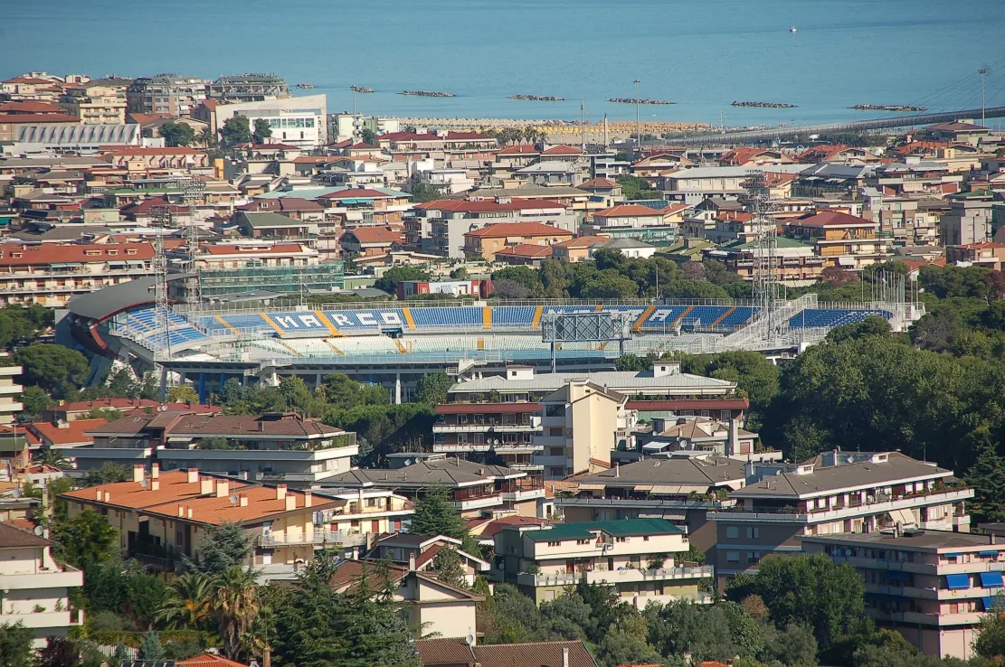 Stadio Adriatico Landmark, Pescara8.2 km N
-
 Basilica della Madonna dei sette dolori Attraction, Pescara9.8 km N
-
Spiaggia Francavilla al Mare Beach, Francavilla al Mare8.1 km NE
-
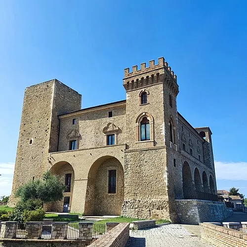 Castello ducale di Crecchio Historic site, Crecchio13 km SE
-
Spiaggia Postilli Beach, Ortona9.4 km E
-
Spiaggia Pescara Beach, Pescara9.7 km N
-
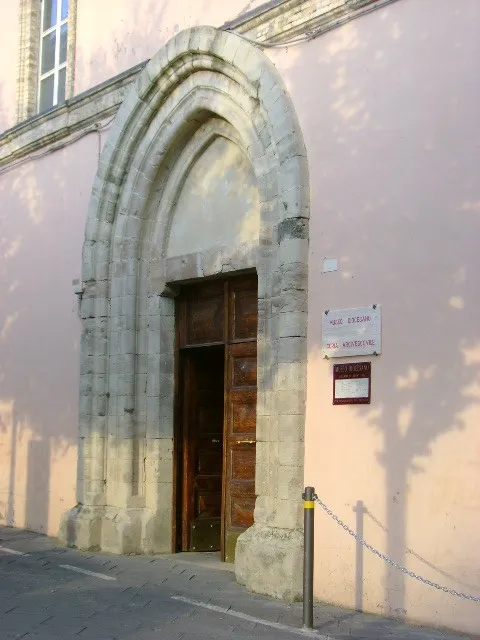 Museo diocesano di Lanciano Museum, Lanciano22 km SE
-
Spiaggia di Foro Beach, Ortona10 km E
Other cities and towns in Province of Chieti
-
Francavilla al Mare Municipality, Province of Chieti7.4 km NE
-
Chieti Municipality, Province of Chieti5.2 km SW
-
Miglianico Municipality, Province of Chieti7 km SE
-
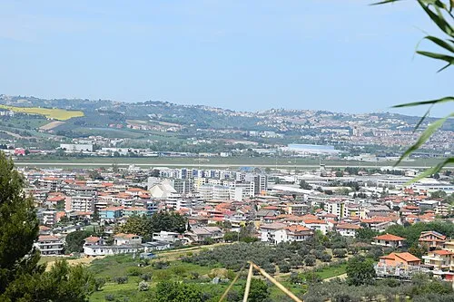 Sambuceto Town, San Giovanni Teatino4.8 km NW
-
Tollo Municipality, Province of Chieti9.5 km SE
-
Villamagna Municipality, Province of Chieti6.3 km S
Sources & licences
Data last updated: