Cunicoli di Claudio
Located in Avezzano, Province of L'Aquila Coordinates: 41°59′19″ N 13°26′00″ E
- Local time
- UTC+01:00
- Europe/Rome · UTC+01:00
- Elevation
- 736 m
- above sea level
- Airports
- CIA Ciampino–G. B. Pastine International Airport73 km
- PSR Abruzzo Airport79 km
About Cunicoli di Claudio
Cunicoli di Claudio is a historic site. Location: Avezzano, Province of L'Aquila.
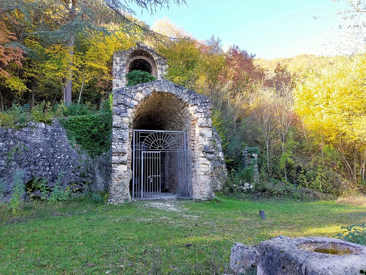
The Tunnels of Claudius (Italian: Cunicoli di Claudio) consist principally of a 6 km-long tunnel (or emissary) together with several monumental service tunnels which Roman Emperor Claudius had built by 52 AD to partially drain the Fucine Lake in Abruzzo, protecting riparian villages from floods and creating agricultural land. It was a massive engineering project involving 30,000 workmen and slaves who completed it in just 11 years, and considered among the grandest in antiquity.
Source: Wikipedia · CC BY-SA 4.0
Photos of Cunicoli di Claudio
-

Marica Massaro · CC BY-SA 4.0 -

Marica Massaro · CC BY-SA 4.0 -

Raffaele Fabretti · Public domain -

Alessandro Brisse, Leone De Rotrou · Public domain -

Rjdeadly · CC BY-SA 4.0


Climate of Cunicoli di Claudio
Best months for sightseeingBest months for sightseeing: June–September.
This month · November
A cold month
Day 11° · Night 5° · Rain 99 mm
- Hottest month
- August (day 26°)
- Coldest month
- February (night 1°)
- Wettest month
- October (104 mm)
- Driest month
- January (54 mm)
Bars: average monthly low and high temperature. Below: precipitation. Monthly averages for 1970–2000 at about 18 km resolution, adjusted for elevation. Highlighted months are mild and relatively dry. Source: WorldClim 2.1 (CC BY 4.0).
Show values as a table
| Month | Jan | Feb | Mar | Apr | May | Jun | Jul | Aug | Sep | Oct | Nov | Dec |
|---|---|---|---|---|---|---|---|---|---|---|---|---|
| Average high (°C) | 7° | 7° | 10° | 13° | 18° | 22° | 25° | 26° | 21° | 17° | 11° | 8° |
| Average low (°C) | 1° | 1° | 3° | 5° | 10° | 13° | 16° | 16° | 13° | 9° | 5° | 2° |
| Precipitation (mm) | 54 | 60 | 56 | 72 | 70 | 64 | 60 | 61 | 88 | 104 | 99 | 71 |
Other places to visit in this season: June July August September
How to get to Cunicoli di Claudio
The nearest airport is Ciampino–G. B. Pastine International Airport (CIA), 73 km to the west as the crow flies. The nearest large city is Split, 298 km to the northeast.
Airports
- Ciampino–G. B. Pastine International Airport (CIA) Rome 73 kmwest
- Abruzzo Airport (PSR) Pescara 79 kmnortheast
- Rome–Fiumicino Leonardo da Vinci International Airport (FCO) Rome 100 kmwest
Nearby large cities
- Split Population: 149.8K 298 kmnortheast
- Rijeka Population: 108K 380 kmnorth
- Mostar Population: 104.5K 389 kmnortheast
Straight-line distances; road distances are longer. Airport data: OurAirports.
Day trips from Cunicoli di Claudio
Within 100 km: 223 historic and cultural sites, 302 natural sites, 52 lakes, rivers and coasts.
0–25 km32 places
- Monte Viglio Mountain 13 kmSW
- Monte Selva Canuta Mountain 20 kmN
- Monte Savina Mountain 19 kmNE
- Monte San Pietro Mountain 17 kmNE
25–60 km182 places
- Cimarone del Villaneto Mountain 51 kmSE
- Monte Veticoso Mountain 52 kmNE
- Monte Urano Mountain 30 kmNE
- Monte Trascinelli Mountain 46 kmNW
60–100 km363 places
- Ripari di Giobbe Beach 90 kmNE
- Valle Cerrese Natural site 74 kmNW
- Giulianova Beach Beach 97 kmNE
- Sombrero Beach 80 kmS
Straight-line distances.
Nearby attractions & nature
Everything nearby-
 Stadio dei Marsi Landmark, Avezzano4.2 km N
-
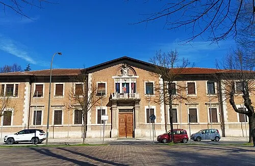 Palazzo Torlonia Historic site, Avezzano4.7 km N
-
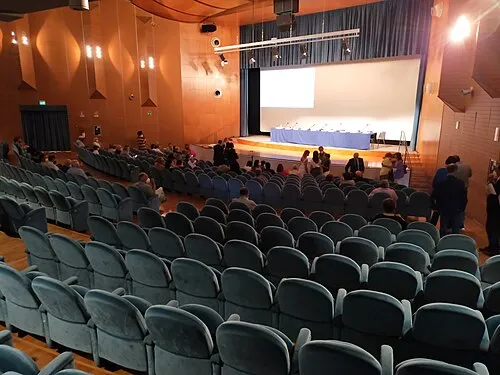 Teatro dei Marsi Attraction, Avezzano6.1 km N
-
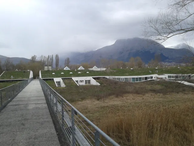 Museo Paludi di Celano Museum, Celano9.8 km NE
-
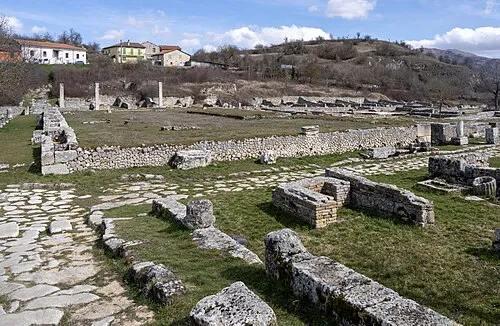 Alba Fucens Historic site, Massa d'Albe10 km N
-
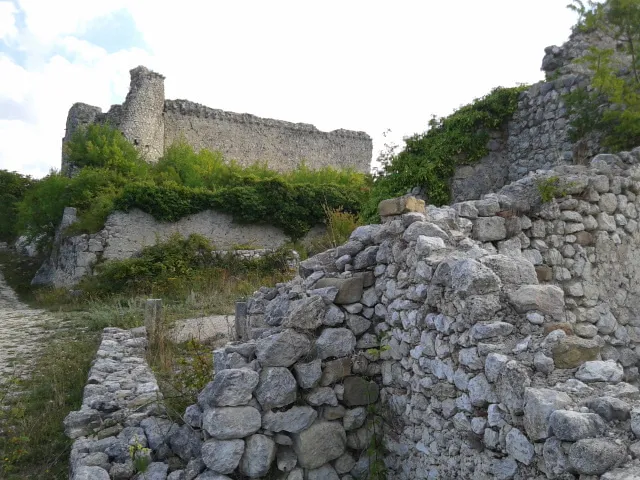 Castello Orsini Historic site, Massa d'Albe11 km N
-
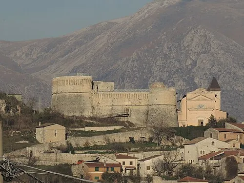 Rocca Orsini Historic site, Scurcola Marsicana12 km NW
-
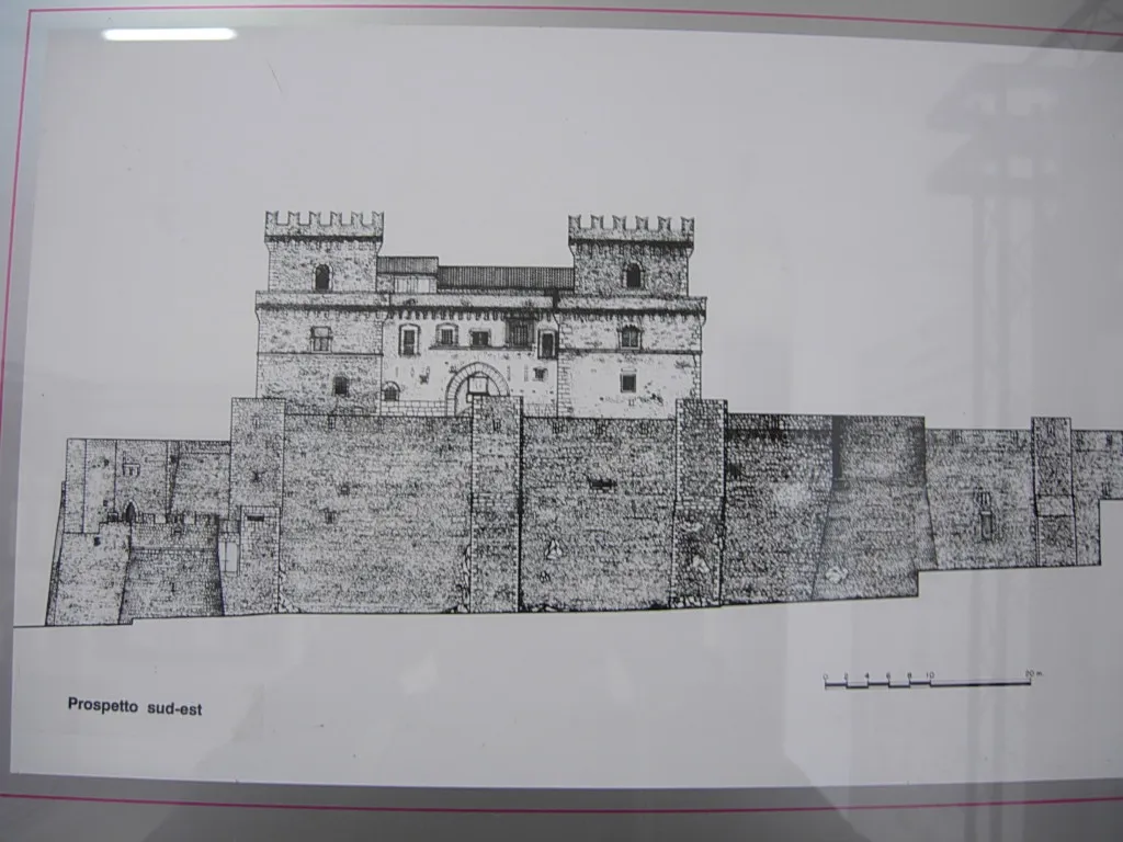 Museo d'Arte Sacra della Marsica Museum, Celano14 km NE
Nearest towns and villages
-
 Case Incile Village, Avezzano0.7 km NE
-
Avezzano Town, Avezzano4.5 km N
-
 Borgo Via Nuova Village, Avezzano3.4 km NE
-
Capistrello Municipality, Province of L'Aquila3.3 km SW
Sources & licences
Data last updated: · 2 independent sources