- Population
- 16
- 16
- Elevation
- 850 m
- above sea level
- Local time
- UTC+01:00
- Europe/Rome · UTC+01:00
- Airports
- PSR Abruzzo Airport78 km
- CIA Ciampino–G. B. Pastine International Airport86 km
About Santi
Santi is a village. Location: L'Aquila, Province of L'Aquila. Population: 16. Elevation: 850 m. The best months to visit are June–September. The nearest airport is Abruzzo Airport (78 km). Nearby sights include Monte Lato and Basilica di San Bernardino.
Climate of Santi
Best months for sightseeingBest months for sightseeing: June–September.
This month · November
A cold month
Day 10° · Night 4° · Rain 80 mm
- Hottest month
- July (day 25°)
- Coldest month
- February (night -1°)
- Wettest month
- October (102 mm)
- Driest month
- January (40 mm)
Bars: average monthly low and high temperature. Below: precipitation. Monthly averages for 1970–2000 at about 18 km resolution, adjusted for elevation. Highlighted months are mild and relatively dry. Source: WorldClim 2.1 (CC BY 4.0).
Show values as a table
| Month | Jan | Feb | Mar | Apr | May | Jun | Jul | Aug | Sep | Oct | Nov | Dec |
|---|---|---|---|---|---|---|---|---|---|---|---|---|
| Average high (°C) | 6° | 6° | 9° | 13° | 18° | 22° | 25° | 25° | 21° | 16° | 10° | 7° |
| Average low (°C) | -1° | -1° | 2° | 4° | 9° | 12° | 15° | 15° | 12° | 8° | 4° | 1° |
| Precipitation (mm) | 40 | 51 | 49 | 64 | 79 | 81 | 76 | 71 | 95 | 102 | 80 | 56 |
Other places to visit in this season: June July August September
How to get to Santi
The nearest airport is Abruzzo Airport (PSR), 78 km to the east as the crow flies. The nearest large city is Split, 288 km to the northeast.
Airports
- Abruzzo Airport (PSR) Pescara 78 kmeast
- Ciampino–G. B. Pastine International Airport (CIA) Rome 86 kmsouthwest
- Perugia San Francesco d'Assisi – Umbria International Airport (PEG) Perugia (PG) 97 kmnorthwest
Nearby large cities
- Split Population: 149.8K 288 kmnortheast
- Rijeka Population: 108K 339 kmnorth
Straight-line distances; road distances are longer. Airport data: OurAirports.
Day trips from Santi
Within 100 km: 218 historic and cultural sites, 273 natural sites, 26 lakes, rivers and coasts.
0–25 km62 places
- Monte Trascinelli Mountain 13 kmSW
- Monte Terminillo Mountain 22 kmW
- Monte San Rocco Mountain 21 kmS
- Monte San Franco Mountain 13 kmNE
25–60 km178 places
- Valle Cerrese Natural site 46 kmW
- Monte Guaidone Mountain 42 kmN
- Monte Zoccane Mountain 31 kmW
- Monte Viglio Mountain 59 kmS
60–100 km277 places
- Ripari di Giobbe Beach 95 kmE
- Giulianova Beach Beach 72 kmNE
- Spiaggia Marina Palmense Beach 95 kmNE
- Spiaggia Lido di Fermo Beach 100 kmNE
Straight-line distances.
Nearby attractions & nature
Everything nearby-
Monte Lato Mountain, Cagnano Amiterno4 km NW
-
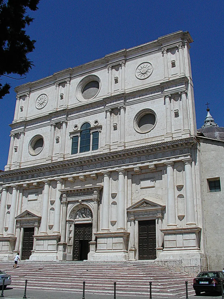 Basilica di San Bernardino Attraction, L'Aquila14 km SE
-
Vallelunga Natural site, Lazio7.5 km W
-
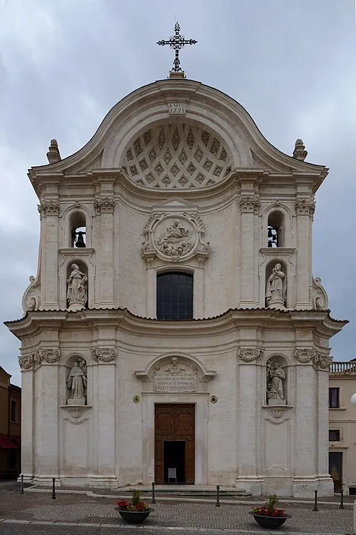 Santa Maria del Suffragio Attraction, L'Aquila14 km SE
-
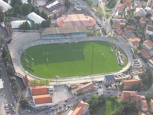 Stadio Tommaso Fattori Landmark, L'Aquila14 km E
-
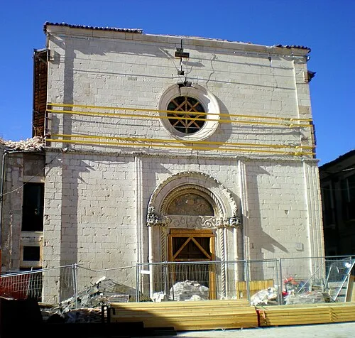 Chiesa dei Santi Marciano e Nicandro Attraction, L'Aquila14 km SE
Other cities and towns in L'Aquila
-
 Sassa Village, L'Aquila7.4 km SE
-
 San Vittorino Village, L'Aquila6 km E
-
Arischia Village, L'Aquila8.4 km E
-
Progetto Case Coppito 3 Village, L'Aquila7.4 km SE
-
Progetto Case Sassa Nsi Village, L'Aquila7.3 km SE
-
 Sassa Scalo Village, L'Aquila6.3 km SE
Sources & licences
Data last updated: