- Population
- 234
- 234
- Elevation
- 175 m
- above sea level
- Local time
- UTC+01:00
- Europe/Rome · UTC+01:00
- Airports
- PSR Abruzzo Airport28 km
- AOI Marche Airport122 km
About Santa Margherita
Santa Margherita is a village. Location: Atri, Province of Teramo. Population: 234. Elevation: 175 m. The best months to visit are May–June, September–October. The nearest airport is Abruzzo Airport (28 km). Nearby sights include Chiesa del Santo Spirito and Chiesa di San Liberatore.
Photos of Santa Margherita
-
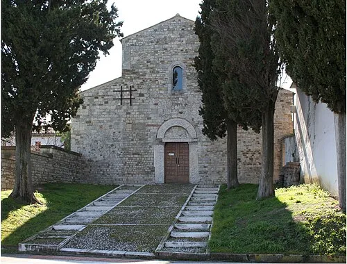
Chiesa di San Clemente al Vomano Infinitispazi · Public domain -
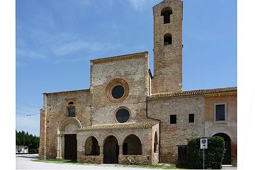
Chiesa di Santa Maria di Propezzano Infinitispazi · Public domain -
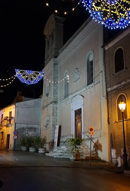
Chiesa del Santo Spirito Luca Aless · CC BY-SA 4.0 -
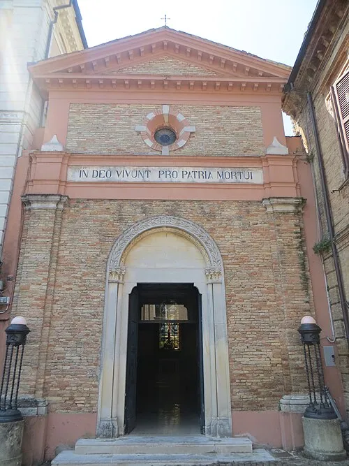
Chiesa di San Liberatore Luca Aless · CC BY-SA 3.0


Climate of Santa Margherita
Best months for sightseeingBest months for sightseeing: May–June, September–October.
This month · November
Outside the best season
Day 15° · Night 5° · Rain 80 mm
- Hottest month
- July (day 29°)
- Coldest month
- January (night 1°)
- Wettest month
- October (81 mm)
- Driest month
- May (46 mm)
Bars: average monthly low and high temperature. Below: precipitation. Monthly averages for 1970–2000 at about 18 km resolution, adjusted for elevation. Highlighted months are mild and relatively dry. Source: WorldClim 2.1 (CC BY 4.0).
Show values as a table
| Month | Jan | Feb | Mar | Apr | May | Jun | Jul | Aug | Sep | Oct | Nov | Dec |
|---|---|---|---|---|---|---|---|---|---|---|---|---|
| Average high (°C) | 10° | 11° | 14° | 17° | 22° | 26° | 29° | 29° | 25° | 20° | 15° | 11° |
| Average low (°C) | 1° | 2° | 4° | 7° | 11° | 15° | 17° | 17° | 14° | 10° | 5° | 3° |
| Precipitation (mm) | 49 | 49 | 56 | 63 | 46 | 62 | 47 | 62 | 75 | 81 | 80 | 68 |
Other places to visit in this season: May June September October
How to get to Santa Margherita
The nearest airport is Abruzzo Airport (PSR), 28 km to the southeast as the crow flies. The nearest large city is Split, 227 km to the northeast.
Airports
- Abruzzo Airport (PSR) Pescara 28 kmsoutheast
- Marche Airport (AOI) Falconara Marittima (AN) 122 kmnorthwest
- Perugia San Francesco d'Assisi – Umbria International Airport (PEG) Perugia (PG) 129 kmnorthwest
Nearby large cities
- Split Population: 149.8K 227 kmnortheast
- Rijeka Population: 108K 305 kmnorth
- Mostar Population: 104.5K 326 kmeast
- Banja Luka Population: 221.1K 357 kmnortheast
- Zenica Population: 164.4K 366 kmnortheast
Straight-line distances; road distances are longer. Airport data: OurAirports.
Day trips from Santa Margherita
Within 100 km: 160 historic and cultural sites, 204 natural sites, 40 lakes, rivers and coasts.
0–25 km36 places
- Giulianova Beach Beach 18 kmN
- Spiaggia Roseto degli Abruzzi Beach 10 kmNE
- La spiaggia del Surabaja Beach 11 kmNE
- Pineto Beach Beach 9 kmE
25–60 km148 places
- Ripari di Giobbe Beach 45 kmSE
- Spiaggia Cupra Marittima Beach 47 kmN
- Spiaggia Pedaso Beach 55 kmN
- Spiaggia Riva Verde Beach 58 kmN
60–100 km220 places
- Spiaggia Marina Palmense Beach 61 kmN
- Spiaggia Lido di Fermo Beach 68 kmN
- Spiaggia Porto Sant'Elpidio Beach 74 kmN
- Spiaggia Casabianca Beach 69 kmN
Straight-line distances.
Nearby attractions & nature
Everything nearby-
Chiesa del Santo Spirito Attraction, Atri3.8 km SE
-
Chiesa di San Liberatore Attraction, Atri4 km SE
-
Chiesa di Santa Maria di Propezzano Attraction, Morro d'Oro4.8 km NW
-
Chiesa di San Clemente al Vomano Attraction, Notaresco5.4 km NW
-
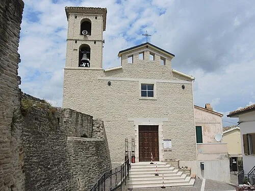 Chiesa di San Giovanni Apostolo ed Evangelista Attraction, Cermignano10 km W
-
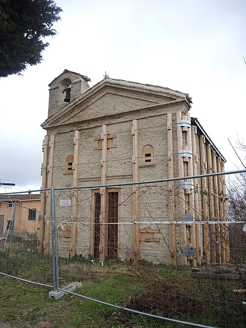 Chiesa della Madonna degli Angeli Attraction, Cellino Attanasio10 km W
Sources & licences
Data last updated: