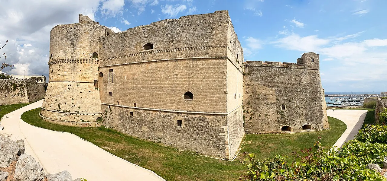
Castello di Otranto
Located in Otranto, Province of Lecce Coordinates: 40°08′40″ N 18°29′32″ E
- Local time
- UTC+01:00
- Europe/Rome · UTC+01:00
- Elevation
- 18 m
- above sea level
- Airports
- BDS Brindisi Airport73 km
- CFU Corfu Ioannis Kapodistrias International Airport136 km
About Castello di Otranto
Castello di Otranto is a historic site. Location: Otranto, Province of Lecce. The best months to visit are May, October. The nearest airport is Brindisi Airport (73 km). Nearby sights include Spiaggia di Porto Grande and Spiaggia di Cala Casotto.
At a glance
- Heritage designation
- Italian national heritage
- Official website
- comune.otranto.le.it
Source: Wikidata
Photos of Castello di Otranto
-

Raffaele Martano · CC BY-SA 4.0 -

Bernard Gagnon · CC0 -

Freddyballo · CC BY-SA 3.0 -

Sailko · CC BY 3.0 -

Photo2021 · CC BY-SA 4.0


Climate of Castello di Otranto
Best months for sightseeingBest months for sightseeing: May, October.
This month · November
A wet month
Day 17° · Night 11° · Rain 104 mm
- Hottest month
- July (day 30°)
- Coldest month
- January (night 7°)
- Wettest month
- November (104 mm)
- Driest month
- July (10 mm)
Bars: average monthly low and high temperature. Below: precipitation. Monthly averages for 1970–2000 at about 18 km resolution, adjusted for elevation. Highlighted months are mild and relatively dry. Source: WorldClim 2.1 (CC BY 4.0).
Show values as a table
| Month | Jan | Feb | Mar | Apr | May | Jun | Jul | Aug | Sep | Oct | Nov | Dec |
|---|---|---|---|---|---|---|---|---|---|---|---|---|
| Average high (°C) | 13° | 13° | 15° | 18° | 23° | 27° | 30° | 30° | 27° | 22° | 17° | 14° |
| Average low (°C) | 7° | 7° | 8° | 10° | 15° | 19° | 21° | 21° | 18° | 15° | 11° | 8° |
| Precipitation (mm) | 87 | 57 | 63 | 36 | 23 | 16 | 10 | 26 | 55 | 89 | 104 | 73 |
How to get to Castello di Otranto
The nearest airport is Brindisi Airport (BDS), 73 km to the northwest as the crow flies.
Airports
- Brindisi Airport (BDS) Brindisi 73 kmnorthwest
- Corfu Ioannis Kapodistrias International Airport (CFU) Kerkyra (Corfu) 136 kmsoutheast
- Tirana International Airport Mother Teresa (TIA) Rinas 175 kmnortheast
Straight-line distances; road distances are longer. Airport data: OurAirports.
Day trips from Castello di Otranto
Within 100 km: 9 historic and cultural sites, 6 natural sites, 42 lakes, rivers and coasts.
0–25 km15 places
- Spiaggia di Porto Miggiano Beach 13 kmS
- Cape Otranto Natural site 5 kmSE
- Torre dell'Orso Landmark 15 kmN
- Spiaggia Alimini Beach 7 kmNW
25–60 km29 places
- Punta della suina Beach 44 kmW
- Spiaggia Padula Bianca Beach 41 kmW
- Le Quattro Colonne Landmark 42 kmW
- Spiaggia Torre Mozza Beach 42 kmSW
60–100 km13 places
- Spiaggia San Pietro in Bevagna Beach 74 kmW
- Elisir Beach Beach 84 kmW
- Togo bay la Spiaggia Beach 60 kmW
- Spiaggia delle Paludi del Conte Beach 63 kmW
Straight-line distances.
Nearby attractions & nature
Everything nearby-
Spiaggia di Porto Grande Beach, Otranto2.1 km SE
-
Spiaggia di Cala Casotto Beach, Otranto2.1 km SE
-
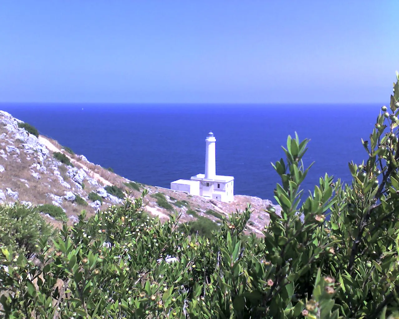 Cape Otranto Natural site, Otranto4.8 km SE
-
Spiaggia Alimini Beach, Otranto6.9 km NW
-
Alimini Beach, Otranto7.4 km NW
-
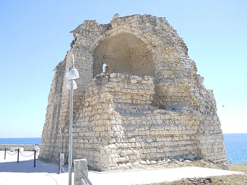 Torre dell'Orso Landmark, Melendugno15 km N
-
Frassanito Beach, Otranto10 km N
-
San Giorgio Beach, Otranto11 km N
Nearest towns and villages
-
Otranto Village, Otranto0.6 km NW
-
Zona Artigianale Village, Otranto1.2 km SW
-
Selva del Turchese Village, Uggiano la Chiesa2.2 km SW
-
 Casamassella Village, Uggiano la Chiesa4.9 km SW
Sources & licences
Data last updated: · 2 independent sources