San Salvatore
Located in Curinga, Province of Catanzaro Coordinates: 38°48′58″ N 16°20′23″ E
- Population
- 65
- 65
- Elevation
- 552 m
- above sea level
- Local time
- UTC+01:00
- Europe/Rome · UTC+01:00
- Airports
- SUF Lamezia Terme Sant'Eufemia International Airport13 km
- CRV Crotone Sant'Anna Pythagoras Airport67 km
About San Salvatore
San Salvatore is a village. Location: Curinga, Province of Catanzaro. Population: 65. Elevation: 552 m. The best months to visit are June–September. The nearest airport is Lamezia Terme Sant'Eufemia International Airport (13 km). Nearby sights include Stadio Nicola Ceravolo and Teatro Politeama.
Climate of San Salvatore
Best months for sightseeingBest months for sightseeing: June–September.
This month · November
A wet month
Day 15° · Night 9° · Rain 129 mm
- Hottest month
- August (day 26°)
- Coldest month
- January (night 5°)
- Wettest month
- December (135 mm)
- Driest month
- June (20 mm)
Bars: average monthly low and high temperature. Below: precipitation. Monthly averages for 1970–2000 at about 18 km resolution, adjusted for elevation. Highlighted months are mild and relatively dry. Source: WorldClim 2.1 (CC BY 4.0).
Show values as a table
| Month | Jan | Feb | Mar | Apr | May | Jun | Jul | Aug | Sep | Oct | Nov | Dec |
|---|---|---|---|---|---|---|---|---|---|---|---|---|
| Average high (°C) | 10° | 10° | 12° | 15° | 19° | 23° | 26° | 26° | 24° | 19° | 15° | 11° |
| Average low (°C) | 5° | 5° | 6° | 8° | 12° | 15° | 18° | 18° | 16° | 12° | 9° | 6° |
| Precipitation (mm) | 128 | 104 | 95 | 65 | 47 | 20 | 21 | 25 | 52 | 131 | 129 | 135 |
Other places to visit in this season: June July August September
How to get to San Salvatore
The nearest airport is Lamezia Terme Sant'Eufemia International Airport (SUF), 13 km to the northwest as the crow flies. The nearest large city is Durrës, 385 km to the northeast.
Airports
- Lamezia Terme Sant'Eufemia International Airport (SUF) Lamezia Terme (CZ) 13 kmnorthwest
- Crotone Sant'Anna Pythagoras Airport (CRV) Isola di Capo Rizzuto (KR) 67 kmeast
- Reggio Calabria Airport (REG) Reggio Calabria 102 kmsouthwest
Nearby large cities
- Durrës Population: 195.9K 385 kmnortheast
Straight-line distances; road distances are longer. Airport data: OurAirports.
Day trips from San Salvatore
Within 100 km: 10 historic and cultural sites, 14 natural sites, 58 lakes, rivers and coasts.
0–25 km16 places
- Spiaggia di Gizzeria Lido Beach 17 kmNW
- Spiaggia di Marinella Beach 16 kmNW
- Spiaggia di Cafarone Beach 15 kmNW
- Hang Loose Beach Beach 18 kmNW
25–60 km20 places
- Spiaggia San Ferdinando Beach 52 kmSW
- Le Dune Blu Beach 51 kmSW
- Spiaggia Marina di Gioiosa Ionica Beach 57 kmS
- Spiaggia Gioia Tauro Beach 58 kmSW
60–100 km46 places
- Marina di Schiavonea Beach 95 kmN
- Spiaggia di Siderno Beach 61 kmS
- Spiaggia Villaggio Thurium Beach 98 kmN
- Spiaggia Salicetti Beach 97 kmN
Straight-line distances.
Nearby attractions & nature
Everything nearby-
 Stadio Nicola Ceravolo Landmark, Catanzaro24 km NE
-
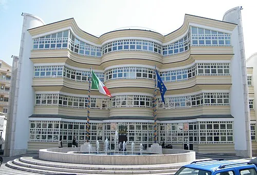 Teatro Politeama Attraction, Catanzaro24 km NE
-
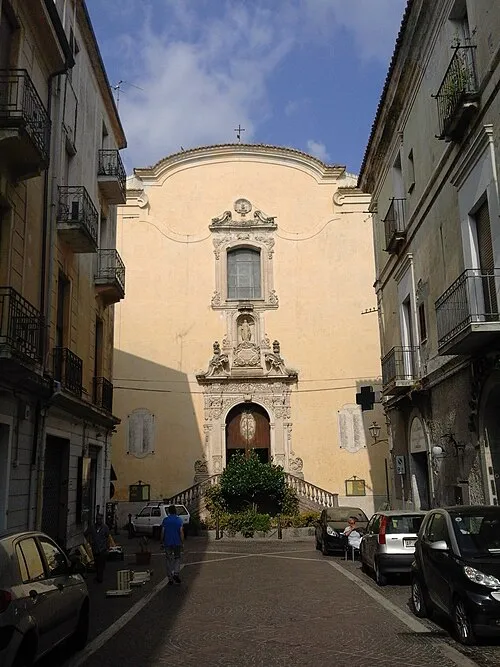 Chiesa del Monte dei Morti e della Misericordia Attraction, Catanzaro24 km NE
-
Spiaggia di Cafarone Beach, Lamezia Terme15 km NW
-
Cinema Teatro Comunale Attraction, Catanzaro24 km NE
-
Hang Loose Beach Beach, Gizzeria18 km NW
Sources & licences
Data last updated: · 2 independent sources