Ginestrella
Located in San Benedetto Val di Sambro, Province of Bologna Coordinates: 44°09′26″ N 11°12′54″ E
- Population
- 67
- 67
- Elevation
- 697 m
- above sea level
- Local time
- UTC+01:00
- Europe/Rome · UTC+01:00
- Airports
- FLR Florence Airport, Peretola39 km
- BLQ Bologna Guglielmo Marconi Airport42 km
About Ginestrella
Ginestrella is a village. Location: San Benedetto Val di Sambro, Province of Bologna. Population: 67. Elevation: 697 m. The best months to visit are June–September. The nearest airport is Florence Airport, Peretola (39 km). Nearby sights include Monte Tronale and Monte Vigese.
Climate of Ginestrella
Best months for sightseeingBest months for sightseeing: June–September.
This month · November
A wet month
Day 10° · Night 3° · Rain 187 mm
- Hottest month
- August (day 26°)
- Coldest month
- January (night -1°)
- Wettest month
- November (187 mm)
- Driest month
- July (47 mm)
Bars: average monthly low and high temperature. Below: precipitation. Monthly averages for 1970–2000 at about 18 km resolution, adjusted for elevation. Highlighted months are mild and relatively dry. Source: WorldClim 2.1 (CC BY 4.0).
Show values as a table
| Month | Jan | Feb | Mar | Apr | May | Jun | Jul | Aug | Sep | Oct | Nov | Dec |
|---|---|---|---|---|---|---|---|---|---|---|---|---|
| Average high (°C) | 6° | 7° | 10° | 13° | 18° | 22° | 26° | 26° | 22° | 16° | 10° | 7° |
| Average low (°C) | -1° | 0° | 2° | 5° | 9° | 12° | 15° | 15° | 12° | 8° | 3° | 0° |
| Precipitation (mm) | 125 | 102 | 121 | 131 | 88 | 84 | 47 | 78 | 116 | 158 | 187 | 149 |
Other places to visit in this season: June July August September
How to get to Ginestrella
The nearest airport is Florence Airport, Peretola (FLR), 39 km to the south as the crow flies. The nearest large city is Rijeka, 287 km to the northeast.
Airports
- Florence Airport, Peretola (FLR) Firenze (FI) 39 kmsouth
- Bologna Guglielmo Marconi Airport (BLQ) Bologna 42 kmnorth
- Forlì-Luigi Ridolfi International Airport (FRL) Forlì (FC) 69 kmeast
Nearby large cities
- Rijeka Population: 108K 287 kmnortheast
- Nice Population: 342.7K 321 kmwest
- Ljubljana Population: 272.2K 334 kmnortheast
- Innsbruck Population: 132.5K 345 kmnorth
- Klagenfurt Population: 100.3K 366 kmnortheast
Straight-line distances; road distances are longer. Airport data: OurAirports.
Day trips from Ginestrella
Within 100 km: 76 historic and cultural sites, 212 natural sites, 21 lakes, rivers and coasts.
0–25 km21 places
- Poggio di Iavello Mountain 24 kmSW
- Monte Vigese Mountain 10 kmNW
- Monte Santa Croce Mountain 24 kmE
- Monte Gazzaro Mountain 11 kmSE
25–60 km110 places
- Monte Santa Giulia Mountain 51 kmNW
- Monte Rozzo Mountain 47 kmSE
- Monte Morello Mountain 31 kmS
- Monte Lama Mountain 47 kmW
60–100 km178 places
- Vela Beach 92 kmE
- Big Mama Beach Beach 93 kmNE
- Spiaggia Pinarella Beach 93 kmE
- Spiaggia Cesenatico Beach 96 kmE
Straight-line distances.
Nearby attractions & nature
Everything nearby-
Monte Tronale Mountain, Vernio7.2 km S
-
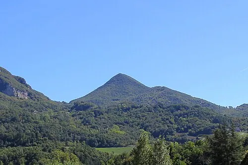 Monte Vigese Mountain, Camugnano10 km NW
-
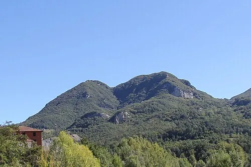 Mont'Ovolo Mountain, Grizzana Morandi12 km NW
-
 Poggio Roncomannaio Mountain, Cantagallo14 km SW
-
Monte Gazzaro Mountain, Scarperia e San Piero11 km SE
-
Poggio La Zucca Mountain, Cantagallo15 km SW
Other cities and towns in San Benedetto Val di Sambro
-
Pian di Balestra Village, San Benedetto Val di Sambro3.4 km E
-
Borgo Village, San Benedetto Val di Sambro3.2 km N
-
Santa Maria Maddalena Village, San Benedetto Val di Sambro6.8 km N
-
 Madonna dei Fornelli Village, San Benedetto Val di Sambro6.2 km NE
-
Montefredente Village, San Benedetto Val di Sambro3.5 km N
-
 Qualto Village, San Benedetto Val di Sambro5 km N
Sources & licences
Data last updated: · 2 independent sources