Pietra Parcellara
Located in Bobbio, Province of Piacenza Coordinates: 44°50′38″ N 9°28′34″ E
- Elevation
- 836 m
- above sea level
- Local time
- UTC+01:00
- Europe/Rome · UTC+01:00
- Airports
- PMF Parma Airport65 km
- LIN Milano Linate Airport69 km
About Pietra Parcellara
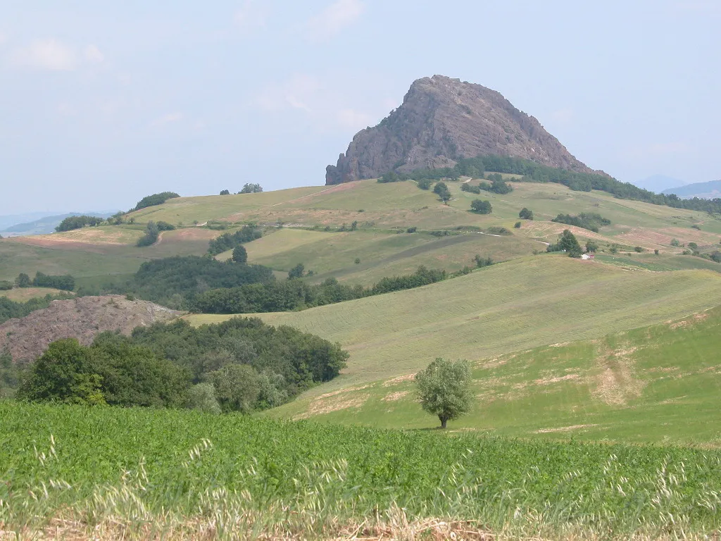
Pietra Parcellara is a mountain. Location: Bobbio, Province of Piacenza. Elevation: 836 m.
Parcellara Stone (Italian: Pietra Parcellara) is a mountain in the Ligurian Apennines located in the Trebbia Valley on the border between the comuni of Bobbio, to which the southwestern slope belongs, and Travo, to which the northeastern slope belongs, in the province of Piacenza. A black serpentine ophiolite, although not particularly high (836 m a.s.l.), it dominates the surrounding hills from which it juts out abruptly, standing out in morphology, color and grandeur.
Source: Wikipedia · CC BY-SA 4.0
Photos of Pietra Parcellara
-

Giovanni Pezzati · CC BY-SA 4.0 -

Gabriele Migliorini · CC BY-SA 4.0 -

Gabriele Migliorini · CC BY-SA 4.0 -
Monte Armelio nardi1987 · CC BY 3.0 -
Monte Gonio nardi1987 · CC BY 3.0


Climate of Pietra Parcellara
Best months for sightseeingBest months for sightseeing: June–September.
This month · November
A cold month
Day 7° · Night 0° · Rain 87 mm
- Hottest month
- July (day 25°)
- Coldest month
- January (night -5°)
- Wettest month
- October (116 mm)
- Driest month
- July (45 mm)
Bars: average monthly low and high temperature. Below: precipitation. Monthly averages for 1970–2000 at about 18 km resolution, adjusted for elevation. Highlighted months are mild and relatively dry. Source: WorldClim 2.1 (CC BY 4.0).
Show values as a table
| Month | Jan | Feb | Mar | Apr | May | Jun | Jul | Aug | Sep | Oct | Nov | Dec |
|---|---|---|---|---|---|---|---|---|---|---|---|---|
| Average high (°C) | 3° | 5° | 10° | 13° | 18° | 22° | 25° | 25° | 20° | 13° | 7° | 3° |
| Average low (°C) | -5° | -4° | -1° | 3° | 7° | 10° | 13° | 13° | 9° | 5° | 0° | -4° |
| Precipitation (mm) | 70 | 48 | 69 | 84 | 75 | 72 | 45 | 71 | 85 | 116 | 87 | 61 |
Other places to visit in this season: June July August September
How to get to Pietra Parcellara
The nearest airport is Parma Airport (PMF), 65 km to the east as the crow flies. For international flights: Milano Linate Airport (LIN) (69 km). The nearest large city is Nice, 217 km to the southwest.
Airports
- Parma Airport (PMF) Parma (PR) 65 kmeast
- Milano Linate Airport (LIN) Segrate (MI) 69 kmnorth
- Genoa Cristoforo Colombo Airport (GOA) Genova (GE) 70 kmsouthwest
Nearby large cities
- Nice Population: 342.7K 217 kmsouthwest
- Bern Population: 121.6K 282 kmnorthwest
- Lausanne Population: 139.1K 289 kmnorthwest
- Zurich Population: 415.4K 289 kmnorth
- Grenoble Population: 158.6K 299 kmwest
Straight-line distances; road distances are longer. Airport data: OurAirports.
Day trips from Pietra Parcellara
Within 100 km: 59 historic and cultural sites, 188 natural sites, 22 lakes, rivers and coasts.
0–25 km20 places
- Monte Penice Mountain 14 kmSW
- Monte Aserei Mountain 16 kmS
- Cima Colletta Mountain 22 kmSW
- Tartago Mountain 25 kmSW
25–60 km126 places
- Rotteri Mountain 29 kmS
- Fiume Ticino River 39 kmNW
- Gifarco Mountain 36 kmS
- Bagni Pagana Beach 59 kmS
60–100 km123 places
- Spiaggia della Marinella di San Terenzo Beach 91 kmS
- La Spiaggia di Levanto Beach 76 kmS
- Baia del Silenzio Beach 64 kmS
- Sun Beach Beach 65 kmS
Straight-line distances.
Nearest towns and villages
Nearby attractions & nature
Everything nearby-
Pietra Perduca Mountain, Travo1.3 km NE
-
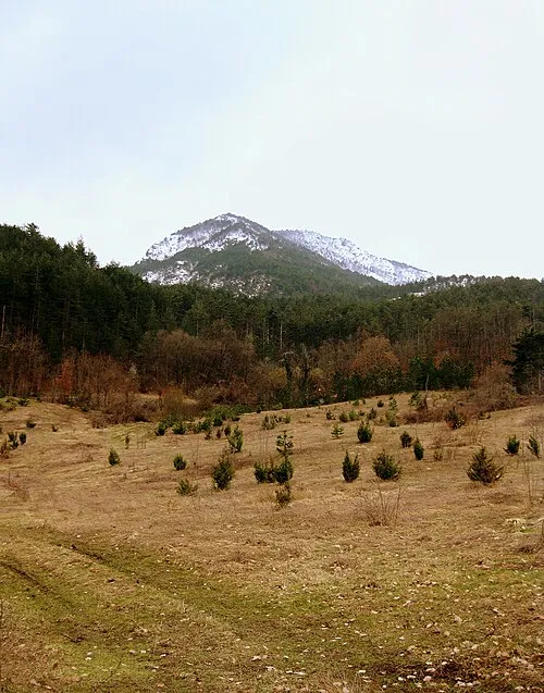
Monte Armelio Mountain, Coli5.4 km S
-
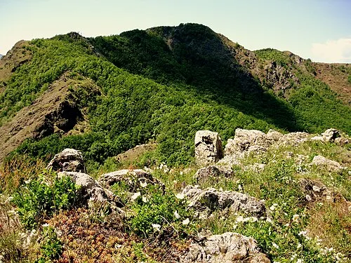
Monte Gonio Mountain, Coli7.9 km S
-
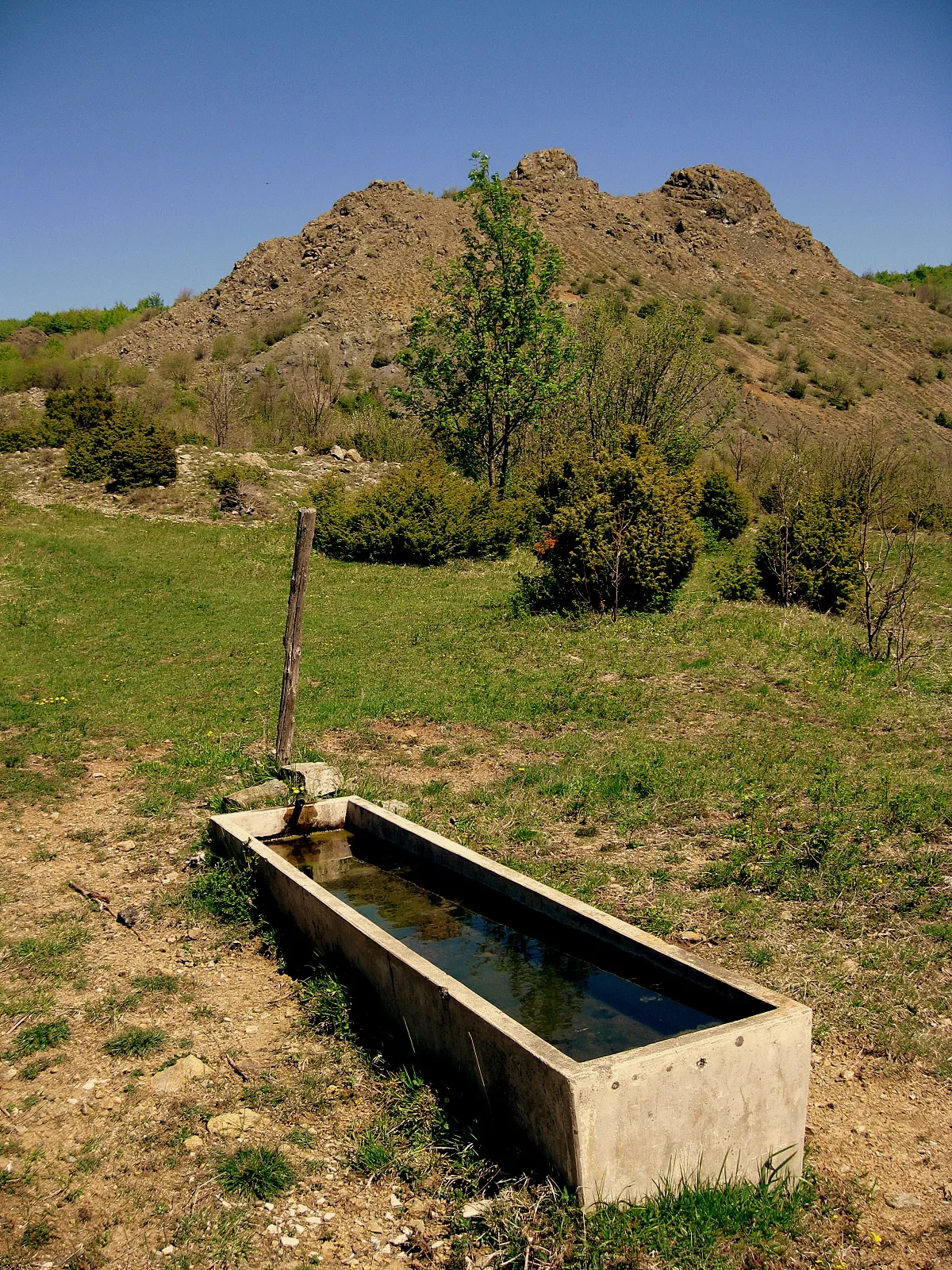 Poggio Alto Mountain, Coli8.5 km S
-
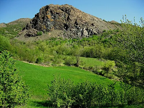 Monte Mangiapane Mountain, Coli9.1 km S
-
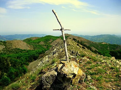 Costa Monte Capra Mountain, Coli10 km S
-
Monte Dinavolo Mountain, Vigolzone8.4 km E
-
Monte Tre Abati Mountain, Coli9.9 km S
Sources & licences
Data last updated: · 2 independent sources