- Population
- 15
- 15
- Elevation
- 870 m
- above sea level
- Local time
- UTC+01:00
- Europe/Rome · UTC+01:00
- Airports
- GOA Genoa Cristoforo Colombo Airport62 km
- PMF Parma Airport63 km
About Villa
Villa is a village. Location: Ferriere, Province of Piacenza. Population: 15. Elevation: 870 m. The best months to visit are June–September. The nearest airport is Genoa Cristoforo Colombo Airport (62 km). Nearby sights include Monte Megna and Monte Aserei.
Photos of Villa
-
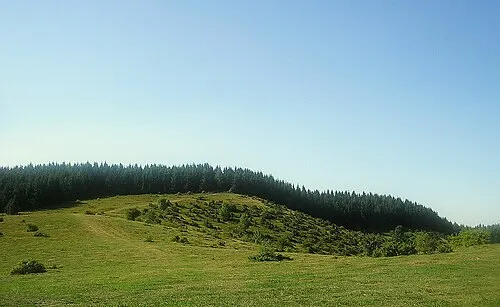
Monte Aserei nardi1987 · CC BY 3.0

Climate of Villa
Best months for sightseeingBest months for sightseeing: June–September.
This month · November
A wet month
Day 8° · Night 1° · Rain 126 mm
- Hottest month
- July (day 25°)
- Coldest month
- January (night -4°)
- Wettest month
- October (146 mm)
- Driest month
- July (53 mm)
Bars: average monthly low and high temperature. Below: precipitation. Monthly averages for 1970–2000 at about 18 km resolution, adjusted for elevation. Highlighted months are mild and relatively dry. Source: WorldClim 2.1 (CC BY 4.0).
Show values as a table
| Month | Jan | Feb | Mar | Apr | May | Jun | Jul | Aug | Sep | Oct | Nov | Dec |
|---|---|---|---|---|---|---|---|---|---|---|---|---|
| Average high (°C) | 4° | 6° | 9° | 13° | 17° | 22° | 25° | 24° | 20° | 14° | 8° | 5° |
| Average low (°C) | -4° | -3° | 0° | 3° | 7° | 11° | 13° | 13° | 9° | 5° | 1° | -2° |
| Precipitation (mm) | 91 | 59 | 90 | 104 | 90 | 87 | 53 | 83 | 109 | 146 | 126 | 84 |
Other places to visit in this season: June July August September
How to get to Villa
The nearest airport is Genoa Cristoforo Colombo Airport (GOA), 62 km to the southwest as the crow flies. The nearest large city is Nice, 211 km to the southwest.
Airports
- Genoa Cristoforo Colombo Airport (GOA) Genova (GE) 62 kmsouthwest
- Parma Airport (PMF) Parma (PR) 63 kmeast
- Milano Linate Airport (LIN) Segrate (MI) 88 kmnorth
Nearby large cities
- Nice Population: 342.7K 211 kmsouthwest
- Bern Population: 121.6K 300 kmnorthwest
- Lausanne Population: 139.1K 305 kmnorthwest
- Grenoble Population: 158.6K 306 kmwest
- Zurich Population: 415.4K 309 kmnorth
Straight-line distances; road distances are longer. Airport data: OurAirports.
Day trips from Villa
Within 100 km: 50 historic and cultural sites, 205 natural sites, 28 lakes, rivers and coasts.
0–25 km70 places
- Rotteri Mountain 14 kmSW
- Gifarco Mountain 22 kmSW
- Monte Penice Mountain 21 kmNW
- Monte Lesima Mountain 22 kmW
25–60 km107 places
- Fiume Ticino River 58 kmNW
- Bagni Pagana Beach 44 kmSW
- La Spiaggia di Levanto Beach 56 kmS
- Baia del Silenzio Beach 46 kmS
60–100 km106 places
- Spiaggia della Marinella di San Terenzo Beach 72 kmSE
- Correggio Beach Beach 99 kmE
- Spiaggia Forte dei Marmi Beach 94 kmSE
- Spiaggia Marina di Pietrasanta Beach 98 kmSE
Straight-line distances.
Nearby attractions & nature
Everything nearby-
Monte Megna Mountain, Ferriere5.8 km S
-
Monte Aserei Mountain, Coli5.8 km NW
-
Groppi Lavezzera Mountain, Ferriere6.5 km W
-
Carevolo Mountain, Ferriere9 km SW
-
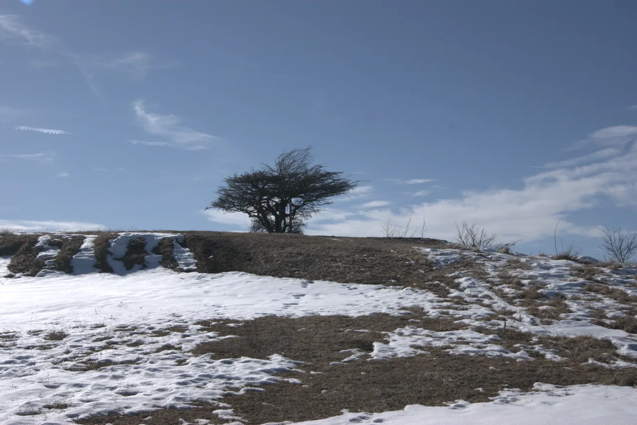 Monte Osero Mountain, Farini8.5 km N
-
Rocca Borri Mountain, Ferriere10 km SW
Other cities and towns in Ferriere

Sources & licences
Data last updated: