Mattiola Piccola
Located in Gossolengo, Province of Piacenza Coordinates: 44°59′31″ N 9°37′00″ E
- Population
- 12
- 12
- Elevation
- 90 m
- above sea level
- Local time
- UTC+01:00
- Europe/Rome · UTC+01:00
- Airports
- PMF Parma Airport57 km
- LIN Milano Linate Airport57 km
About Mattiola Piccola
Mattiola Piccola is a village. Location: Gossolengo, Province of Piacenza. Population: 12. Elevation: 90 m. The best months to visit are May, September. The nearest airport is Parma Airport (57 km). Nearby sights include Basilica di Sant'Antonino and Pietra Parcellara.
Climate of Mattiola Piccola
Best months for sightseeingBest months for sightseeing: May, September.
This month · November
A cold month
Day 11° · Night 4° · Rain 85 mm
- Hottest month
- July (day 30°)
- Coldest month
- January (night -1°)
- Wettest month
- October (114 mm)
- Driest month
- July (39 mm)
Bars: average monthly low and high temperature. Below: precipitation. Monthly averages for 1970–2000 at about 18 km resolution, adjusted for elevation. Highlighted months are mild and relatively dry. Source: WorldClim 2.1 (CC BY 4.0).
Show values as a table
| Month | Jan | Feb | Mar | Apr | May | Jun | Jul | Aug | Sep | Oct | Nov | Dec |
|---|---|---|---|---|---|---|---|---|---|---|---|---|
| Average high (°C) | 6° | 9° | 14° | 18° | 23° | 27° | 30° | 29° | 25° | 18° | 11° | 7° |
| Average low (°C) | -1° | 0° | 4° | 7° | 11° | 15° | 18° | 17° | 14° | 9° | 4° | 0° |
| Precipitation (mm) | 65 | 48 | 65 | 81 | 71 | 73 | 39 | 68 | 79 | 114 | 85 | 60 |
How to get to Mattiola Piccola
The nearest airport is Parma Airport (PMF), 57 km to the east as the crow flies. For international flights: Milano Linate Airport (LIN) (57 km). The nearest large city is Nice, 236 km to the southwest.
Airports
- Parma Airport (PMF) Parma (PR) 57 kmeast
- Milano Linate Airport (LIN) Segrate (MI) 57 kmnorthwest
- Brescia Gabriele d'Annunzio Airport (VBS) Montichiari (BS) 74 kmnortheast
Nearby large cities
- Nice Population: 342.7K 236 kmsouthwest
- Bern Population: 121.6K 275 kmnorthwest
- Zurich Population: 415.4K 277 kmnorth
- Lausanne Population: 139.1K 287 kmnorthwest
- Innsbruck Population: 132.5K 287 kmnortheast
Straight-line distances; road distances are longer. Airport data: OurAirports.
Day trips from Mattiola Piccola
Within 100 km: 63 historic and cultural sites, 217 natural sites, 15 lakes, rivers and coasts.
0–25 km5 places
- Pietra Parcellara Mountain 20 kmSW
- Monte Dinavolo Mountain 15 kmS
- Pietra Perduca Mountain 19 kmSW
- Monte Armelio Mountain 24 kmSW
25–60 km97 places
- Rotteri Mountain 48 kmS
- Fiume Ticino River 35 kmNW
- Gifarco Mountain 55 kmSW
- Monte Penice Mountain 33 kmSW
60–100 km193 places
- Monte Bronzone Mountain 85 kmN
- Bagni Pagana Beach 79 kmSW
- La Spiaggia di Levanto Beach 91 kmS
- Baia del Silenzio Beach 82 kmS
Straight-line distances.
Nearby attractions & nature
Everything nearby-
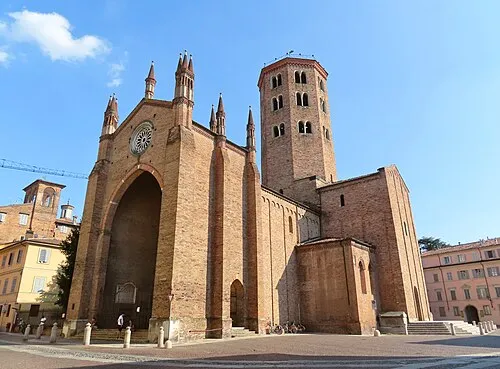 Basilica di Sant'Antonino Attraction, Piacenza8.9 km NE
-
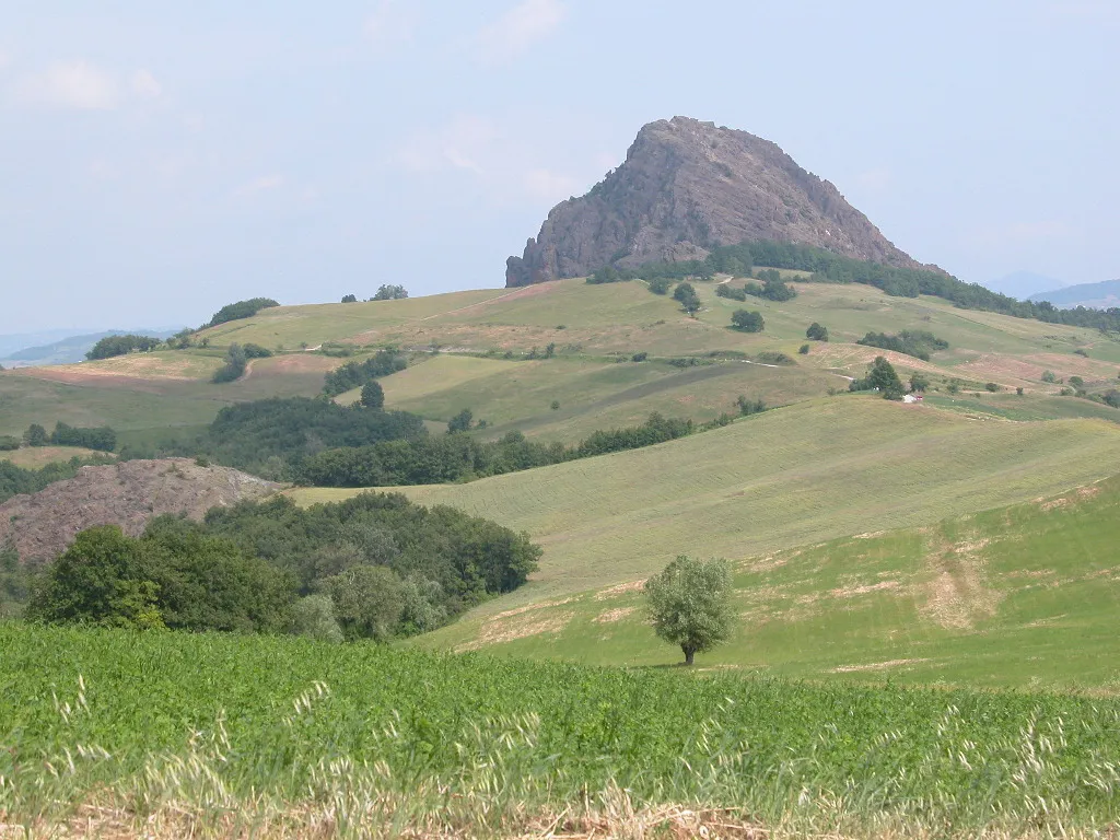 Pietra Parcellara Mountain, Bobbio20 km SW
-
Pietra Perduca Mountain, Travo19 km SW
-
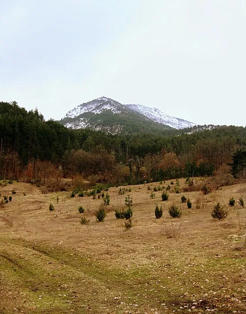 Monte Armelio Mountain, Coli24 km SW
-
Monte Dinavolo Mountain, Vigolzone15 km S
Other cities and towns in Gossolengo
-
Caratta Village, Gossolengo3 km S
-
Molinazzo di Sotto Village, Gossolengo2.6 km S
-
Molinazzo Sopra-Caratta Village, Gossolengo3 km S
-
 Baselica Village, Gossolengo3.5 km SE
-
Bandiera-Settima Village, Gossolengo4 km SE
-
Gerra-Caratta Village, Gossolengo3.5 km S
Sources & licences
Data last updated: · 2 independent sources