- Elevation
- 426 m
- above sea level
- Local time
- UTC+01:00
- Europe/Rome · UTC+01:00
- Airports
- TRS Trieste Airport34 km
- RJK Rijeka Airport76 km
About Kočerič
Kočerič is a mountain. Location: Trieste, Province of Trieste. Elevation: 426 m. The best months to visit are June–September. The nearest airport is Trieste Airport (34 km). Nearby sights include Bate and Monte dei Pini.
Photos of Kočerič
-
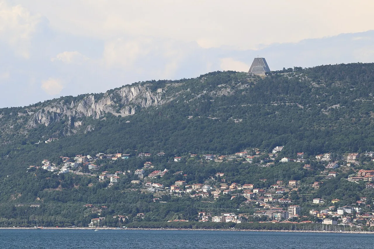
Monte Grisa Andrzej Otrębski · CC BY-SA 4.0 -
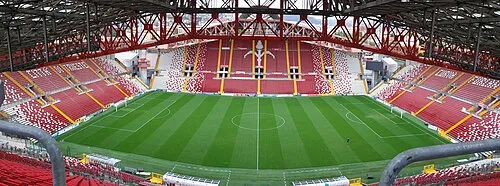
Stadio Nereo Rocco Henkeluca.2000 · CC BY-SA 4.0 -

Museo Revoltella Albert Rieger · Public domain -
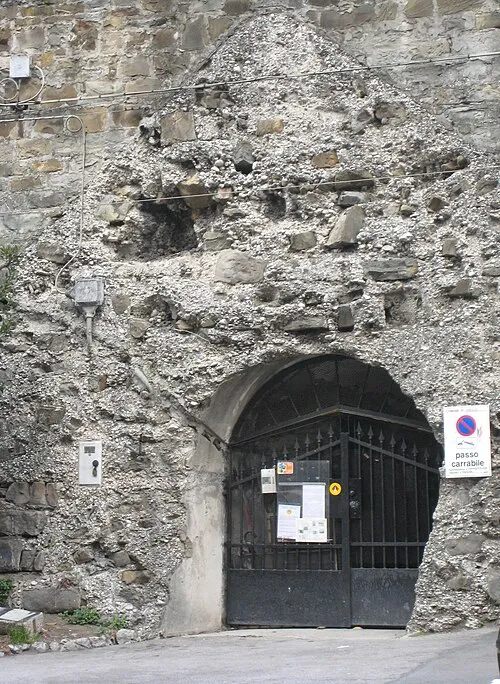
Kleines Berlin Tiesse · Public domain -
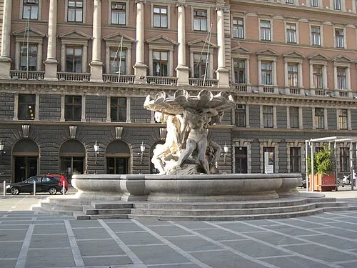
Postal and Telegraphic Museum of Central Europe Tiesse · Public domain


Climate of Kočerič
Best months for sightseeingBest months for sightseeing: June–September.
This month · November
A wet month
Day 10° · Night 4° · Rain 188 mm
- Hottest month
- August (day 26°)
- Coldest month
- January (night -1°)
- Wettest month
- November (188 mm)
- Driest month
- February (92 mm)
Bars: average monthly low and high temperature. Below: precipitation. Monthly averages for 1970–2000 at about 18 km resolution, adjusted for elevation. Highlighted months are mild and relatively dry. Source: WorldClim 2.1 (CC BY 4.0).
Show values as a table
| Month | Jan | Feb | Mar | Apr | May | Jun | Jul | Aug | Sep | Oct | Nov | Dec |
|---|---|---|---|---|---|---|---|---|---|---|---|---|
| Average high (°C) | 5° | 7° | 10° | 13° | 18° | 22° | 25° | 26° | 21° | 16° | 10° | 6° |
| Average low (°C) | -1° | -1° | 1° | 5° | 9° | 12° | 15° | 15° | 12° | 8° | 4° | 0° |
| Precipitation (mm) | 119 | 92 | 118 | 138 | 134 | 155 | 104 | 122 | 150 | 175 | 188 | 162 |
Other places to visit in this season: June July August September
How to get to Kočerič
The nearest airport is Trieste Airport (TRS), 34 km to the northwest as the crow flies. The nearest large city is Rijeka, 61 km to the southeast.
Airports
- Trieste Airport (TRS) Ronchi dei Legionari/Trieste 34 kmnorthwest
- Rijeka Airport (RJK) Rijeka(Omišalj) 76 kmsoutheast
- Ljubljana Jože Pučnik Airport (LJU) Zgornji Brnik 78 kmnortheast
Nearby large cities
- Rijeka Population: 108K 61 kmsoutheast
- Ljubljana Population: 272.2K 67 kmnortheast
- Klagenfurt Population: 100.3K 112 kmnorth
- Zagreb Population: 663.6K 167 kmeast
- Graz Population: 303.3K 198 kmnortheast
Straight-line distances; road distances are longer. Airport data: OurAirports.
Day trips from Kočerič
Within 100 km: 24 historic and cultural sites, 289 natural sites, 76 lakes, rivers and coasts.
0–25 km45 places
- Raša River 16 kmN
- Markovec Mountain 18 kmSW
- The Roman fortress Castra Historic site 25 kmN
- Montebello Mountain 4 kmSW
25–60 km38 places
- Veliki Snežnik Mountain 50 kmE
- Porezen Mountain 57 kmN
- Hrušica Mountain 33 kmNE
- Krim Mountain 57 kmNE
60–100 km306 places
- Krk Island 90 kmSE
- Uvala Stipanja Natural site 87 kmSE
- Otočić Košljun Island 94 kmSE
- Lake Bohinj Lake 68 kmN
Straight-line distances.
Nearest towns and villages
-
 Gropada Village, Trieste1 km SE
-
 Padriciano Village, Trieste1.4 km S
-
Trebiciano Village, Trieste1.2 km W
-
Stazione Elettrica Padriciano Village, Trieste1.2 km SW
-
Opicina Town, Trieste4.5 km NW
-
Area di Ricerca Village, Trieste1.7 km SW
Nearby attractions & nature
Everything nearby-
Bate Mountain, Trieste0.8 km N
-
Monte dei Pini Mountain, Trieste1 km E
-
Monte Franco Mountain, Trieste1 km N
-
Gaia Mountain, Trieste1.6 km SE
-
Monte Calvo Mountain, Trieste2 km SW
-
Monte Maj Mountain, Trieste2.2 km W
-
Monte Spaccato Mountain, Trieste2.5 km SW
-
Srednji vršič Mountain, Trieste2.9 km W
Sources & licences
Data last updated: · 2 independent sources