- Population
- 2,856,133
- 2.9M
- Elevation
- 66 m
- above sea level
- Local time
- UTC+01:00
- Europe/Rome · UTC+01:00
- Places inside
- 16
- listed under Rome
- Airports
- CIA Ciampino–G. B. Pastine International Airport14 km
- FCO Rome–Fiumicino Leonardo da Vinci International Airport23 km
About Rome
Rome is a municipality. Location: Province of Rome, Lazio. Population: 2,856,133. Elevation: 66 m. The best months to visit are May–June, October. The nearest airport is Ciampino–G. B. Pastine International Airport (14 km). Nearby sights include Stadio Pio XII and Colle Iano.
Photos of Rome
-
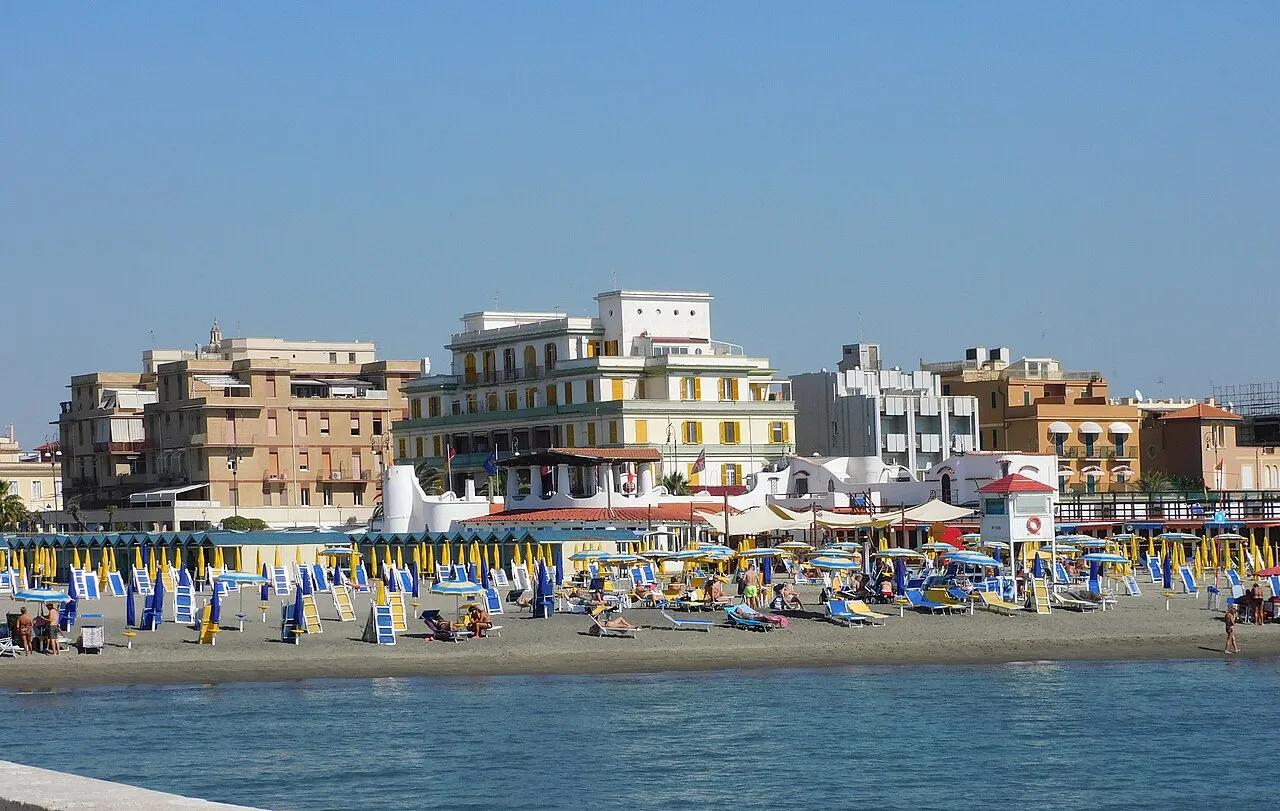
Ostia Beach Panek · CC BY-SA 4.0 -
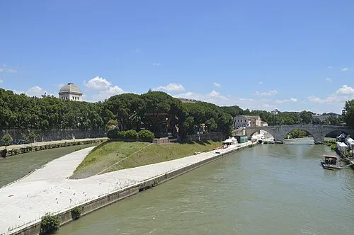
Tiber Island Livioandronico2013 · CC BY-SA 3.0 -
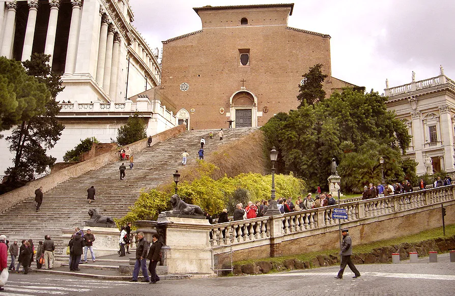
Capitoline Hill Ricardo André Frantz · CC BY-SA 3.0 -
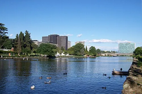
Parco Centrale del Lago Blackcat · CC BY-SA 3.0 it -
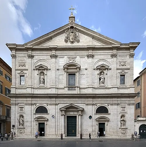
San Luigi dei Francesi Chabe01 · CC BY-SA 4.0


Climate of Rome
Best months for sightseeingBest months for sightseeing: May–June, October.
This month · November
Outside the best season
Day 16° · Night 7° · Rain 81 mm
- Hottest month
- August (day 30°)
- Coldest month
- January (night 4°)
- Wettest month
- November (81 mm)
- Driest month
- July (12 mm)
Bars: average monthly low and high temperature. Below: precipitation. Monthly averages for 1970–2000 at about 18 km resolution, adjusted for elevation. Highlighted months are mild and relatively dry. Source: WorldClim 2.1 (CC BY 4.0).
Show values as a table
| Month | Jan | Feb | Mar | Apr | May | Jun | Jul | Aug | Sep | Oct | Nov | Dec |
|---|---|---|---|---|---|---|---|---|---|---|---|---|
| Average high (°C) | 12° | 13° | 15° | 18° | 23° | 27° | 30° | 30° | 26° | 22° | 16° | 13° |
| Average low (°C) | 4° | 4° | 6° | 8° | 12° | 16° | 18° | 19° | 16° | 12° | 7° | 5° |
| Precipitation (mm) | 62 | 57 | 50 | 50 | 34 | 25 | 12 | 28 | 55 | 76 | 81 | 71 |
How to get to Rome
The nearest airport is Ciampino–G. B. Pastine International Airport (CIA), 14 km to the southeast as the crow flies. The nearest large city is Split, 369 km to the northeast.
Airports
- Ciampino–G. B. Pastine International Airport (CIA) Rome 14 kmsoutheast
- Rome–Fiumicino Leonardo da Vinci International Airport (FCO) Rome 23 kmsouthwest
- Perugia San Francesco d'Assisi – Umbria International Airport (PEG) Perugia (PG) 133 kmnorth
Nearby large cities
- Split Population: 149.8K 369 kmnortheast
Straight-line distances; road distances are longer. Airport data: OurAirports.
Day trips from Rome
Within 100 km: 130 historic and cultural sites, 156 natural sites, 33 lakes, rivers and coasts.
0–25 km76 places
- Tiber Island Island 2 kmSW
- Monte Piscina Mountain 16 kmN
- Monte di Massa Mountain 16 kmNE
- Colle Iano Mountain 25 kmSE
25–60 km93 places
- Valle Cerrese Natural site 52 kmN
- Campo di Mare Beach 39 kmW
- Spiaggia di Rio Torto Beach 33 kmS
- Spiaggia Torvaianica Beach 30 kmS
60–100 km150 places
- Sombrero Beach 93 kmSE
- La Bussola Beach 89 kmSE
- Boca Do Mar Beach 69 kmNW
- Lido di Latino Beach 63 kmSE
Straight-line distances.
Places in Rome
16 placesCities & villages15
- Municipio Roma I · Village
- Municipio Roma II · Village
- Municipio Roma III · Village
- Municipio Roma IV · Village
- Municipio Roma IX · Village
- Municipio Roma V · Village
- Municipio Roma VI · Village
- Municipio Roma VII · Village
- Municipio Roma VIII · Village
- Municipio Roma X · Village
- Municipio Roma XI · Village
- Municipio Roma XII · Village
- Municipio Roma XIII · Village
- Municipio Roma XIV · Village
- Municipio Roma XV · Village
Lakes, rivers & coasts1
- Tiber Island · Island
Nearby attractions & nature
Everything nearby-
 Stadio Pio XII Landmark, Albano Laziale23 km SE
-
Colle Iano Mountain, Rocca di Papa25 km SE
-
Valle della Breccia Natural site, Lazio19 km NW
Sources & licences
Data last updated: