Tiber Island
Local name: Isola Tiberina
Located in Rome, Province of Rome Coordinates: 41°53′26″ N 12°28′39″ E
- Elevation
- 23 m
- above sea level
- Local time
- UTC+01:00
- Europe/Rome · UTC+01:00
- Airports
- CIA Ciampino–G. B. Pastine International Airport14 km
- FCO Rome–Fiumicino Leonardo da Vinci International Airport21 km
About Tiber Island
Tiber Island is an island. Location: Rome, Province of Rome.
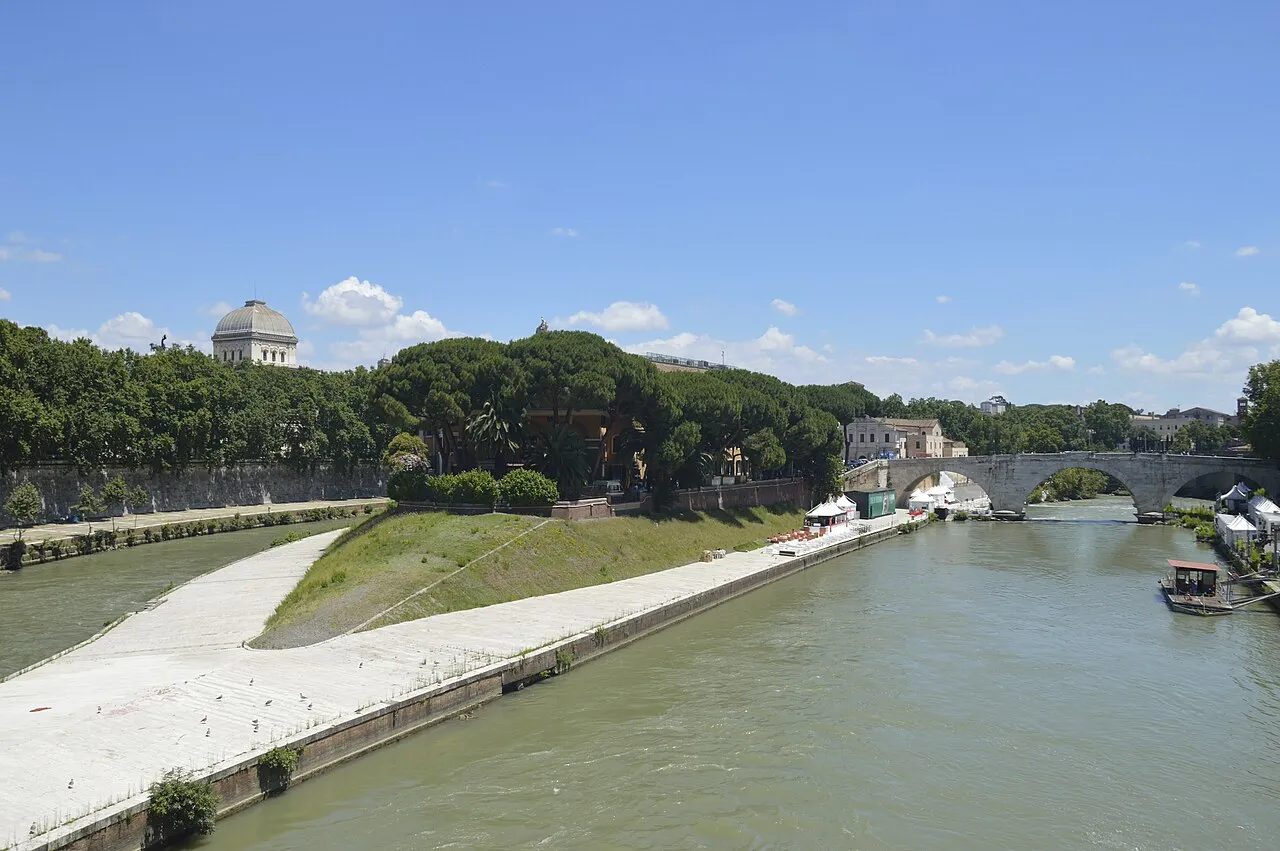
The Tiber Island (Italian: Isola Tiberina, Latin: Insula Tiberina) is the only river island in the part of the Tiber which runs through Rome. Tiber Island is located in the southern bend of the Tiber. The island is boat-shaped, approximately 270 metres (890 feet) long and 67 metres (220 feet) wide, and has been connected with bridges to both sides of the river since antiquity. Being a seat of the ancient temple of Asclepius and later a hospital, the island is associated with medicine and healing.
Source: Wikipedia · CC BY-SA 4.0
Photos of Tiber Island
-

Diego Delso · CC BY-SA 4.0 -

Federicoradicicampus · CC BY-SA 3.0 -

Deensel · CC BY 2.0 -

Daderot · CC0 -

Edelmauswaldgeist · CC0


Climate of Tiber Island
Best months for sightseeingBest months for sightseeing: May–June, October.
This month · November
Outside the best season
Day 16° · Night 8° · Rain 81 mm
- Hottest month
- August (day 30°)
- Coldest month
- January (night 4°)
- Wettest month
- November (81 mm)
- Driest month
- July (12 mm)
Bars: average monthly low and high temperature. Below: precipitation. Monthly averages for 1970–2000 at about 18 km resolution, adjusted for elevation. Highlighted months are mild and relatively dry. Source: WorldClim 2.1 (CC BY 4.0).
Show values as a table
| Month | Jan | Feb | Mar | Apr | May | Jun | Jul | Aug | Sep | Oct | Nov | Dec |
|---|---|---|---|---|---|---|---|---|---|---|---|---|
| Average high (°C) | 12° | 13° | 16° | 18° | 23° | 27° | 30° | 30° | 27° | 22° | 16° | 13° |
| Average low (°C) | 4° | 4° | 6° | 8° | 12° | 16° | 19° | 19° | 16° | 12° | 8° | 5° |
| Precipitation (mm) | 62 | 57 | 50 | 50 | 34 | 25 | 12 | 28 | 55 | 76 | 81 | 71 |
How to get to Tiber Island
The nearest airport is Ciampino–G. B. Pastine International Airport (CIA), 14 km to the southeast as the crow flies. The nearest large city is Split, 371 km to the northeast.
Airports
- Ciampino–G. B. Pastine International Airport (CIA) Rome 14 kmsoutheast
- Rome–Fiumicino Leonardo da Vinci International Airport (FCO) Rome 21 kmsouthwest
- Perugia San Francesco d'Assisi – Umbria International Airport (PEG) Perugia (PG) 134 kmnorth
Nearby large cities
- Split Population: 149.8K 371 kmnortheast
Straight-line distances; road distances are longer. Airport data: OurAirports.
Day trips from Tiber Island
Within 100 km: 130 historic and cultural sites, 154 natural sites, 33 lakes, rivers and coasts.
0–25 km79 places
- Spiaggia di Fregene Beach 24 kmW
- Spiaggia di Focene Beach 24 kmW
- Ostia Beach Beach 25 kmSW
- Spiaggia di Tor Paterno Beach 24 kmSW
25–60 km89 places
- Valle Cerrese Natural site 54 kmN
- Campo di Mare Beach 38 kmW
- Spiaggia di Rio Torto Beach 32 kmS
- Spiaggia Torvaianica Beach 29 kmS
60–100 km149 places
- Sombrero Beach 93 kmSE
- La Bussola Beach 89 kmSE
- Boca Do Mar Beach 68 kmNW
- Siaggia delle graticciare Beach 100 kmNW
Straight-line distances.
Nearest towns and villages
-
Sant'Angelo Neighbourhood, Municipio Roma I0.2 km NE
-
Trastevere Neighbourhood, Municipio Roma I1.2 km SW
-
Pigna Neighbourhood, Municipio Roma I0.9 km NE
-
Regola Neighbourhood, Municipio Roma I1 km NW
-
Parione Neighbourhood, Municipio Roma I1 km N
-
Sant'Eustachio Neighbourhood, Municipio Roma I1 km N
Nearby attractions & nature
Everything nearby-
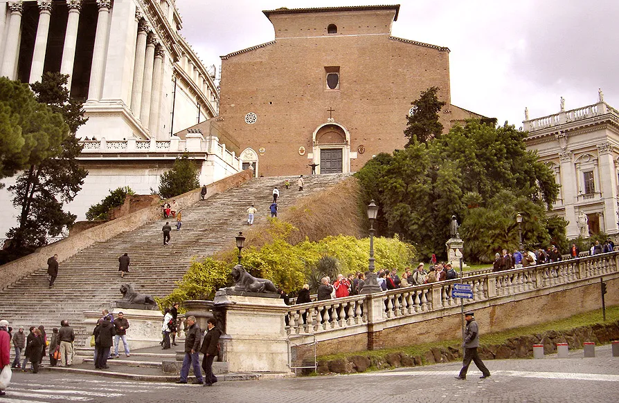 Capitoline Hill Mountain, Municipio Roma I0.5 km NE
-
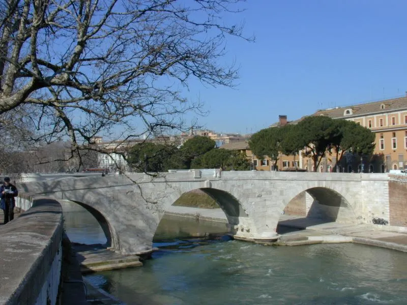 Pons Cestius Landmark, Municipio Roma I0.1 km SW
-
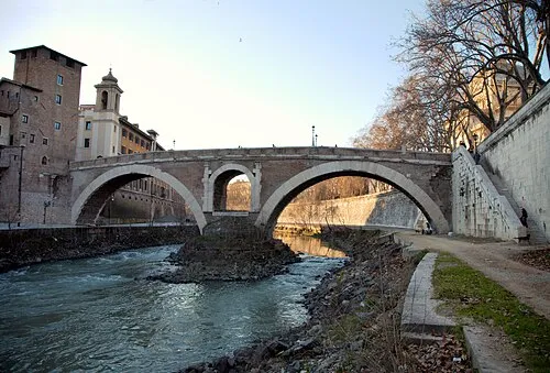 Pons Fabricius Landmark, Municipio Roma I0.1 km NE
-
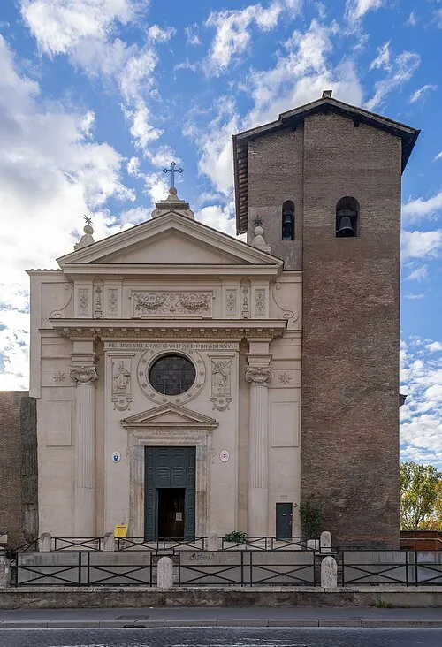 San Nicola in Carcere Attraction, Municipio Roma I0.2 km E
-
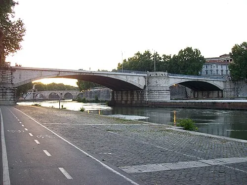 Garibaldi Bridge Landmark, Municipio Roma I0.3 km W
-
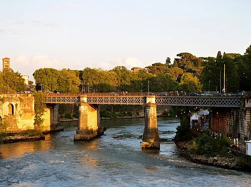 Ponte Palatino Landmark, Municipio Roma I0.2 km SE
-
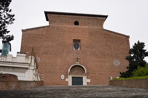 Santa Maria in Aracoeli Attraction, Municipio Roma I0.6 km NE
-
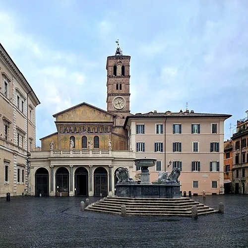 Santa Maria in Trastevere Attraction, Municipio Roma I0.7 km W
More lakes, rivers and coasts in Italy
-
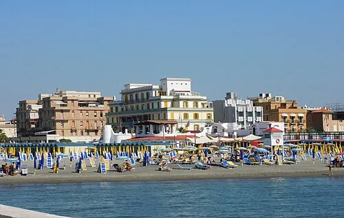 Ostia Beach Beach, Municipio Roma X25 km SW
-
Spiaggia di Tor Paterno Beach, Municipio Roma X24 km SW
-
Settimo Cielo Beach Beach, Municipio Roma X26 km S
Sources & licences
Data last updated: · 2 independent sources