- Population
- 1,875
- 1.9K
- Elevation
- 533 m
- above sea level
- Local time
- UTC+01:00
- Europe/Rome · UTC+01:00
- Places inside
- 21
- listed under Davagna
- Airports
- GOA Genoa Cristoforo Colombo Airport20 km
- PMF Parma Airport104 km
About Davagna
Davagna is a municipality. Location: Province of Genoa, Liguria. Population: 1,875. Elevation: 533 m. The best months to visit are June–September. The nearest airport is Genoa Cristoforo Colombo Airport (20 km). Nearby sights include Monte Fasce and Lavagnola.
Photos of Davagna
-
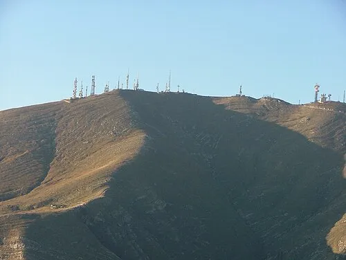
Monte Fasce Jacklab72 at Italian Wikipedia · Public domain

Climate of Davagna
Best months for sightseeingBest months for sightseeing: June–September.
This month · November
A wet month
Day 11° · Night 4° · Rain 175 mm
- Hottest month
- August (day 26°)
- Coldest month
- January (night 1°)
- Wettest month
- October (241 mm)
- Driest month
- July (49 mm)
Bars: average monthly low and high temperature. Below: precipitation. Monthly averages for 1970–2000 at about 18 km resolution, adjusted for elevation. Highlighted months are mild and relatively dry. Source: WorldClim 2.1 (CC BY 4.0).
Show values as a table
| Month | Jan | Feb | Mar | Apr | May | Jun | Jul | Aug | Sep | Oct | Nov | Dec |
|---|---|---|---|---|---|---|---|---|---|---|---|---|
| Average high (°C) | 7° | 9° | 12° | 14° | 19° | 23° | 26° | 26° | 22° | 17° | 11° | 8° |
| Average low (°C) | 1° | 1° | 3° | 6° | 10° | 13° | 16° | 16° | 13° | 9° | 4° | 2° |
| Precipitation (mm) | 153 | 85 | 115 | 128 | 104 | 77 | 49 | 93 | 141 | 241 | 175 | 140 |
Other places to visit in this season: June July August September
How to get to Davagna
The nearest airport is Genoa Cristoforo Colombo Airport (GOA), 20 km to the west as the crow flies. The nearest large city is Nice, 169 km to the southwest.
Airports
- Genoa Cristoforo Colombo Airport (GOA) Genova (GE) 20 kmwest
- Parma Airport (PMF) Parma (PR) 104 kmnortheast
- Milano Linate Airport (LIN) Segrate (MI) 110 kmnorth
Nearby large cities
- Nice Population: 342.7K 169 kmsouthwest
- Grenoble Population: 158.6K 278 kmwest
- Toulon Population: 168.7K 295 kmsouthwest
- Lausanne Population: 139.1K 298 kmnorthwest
- Geneva Population: 201.7K 301 kmnorthwest
Straight-line distances; road distances are longer. Airport data: OurAirports.
Day trips from Davagna
Within 100 km: 26 historic and cultural sites, 191 natural sites, 34 lakes, rivers and coasts.
0–25 km78 places
- Gifarco Mountain 21 kmE
- Bagni Pagana Beach 18 kmSE
- Spiaggia di Rapallo Beach 17 kmSE
- Bagni Oasis Beach 13 kmSW
25–60 km100 places
- Rotteri Mountain 29 kmNE
- La Spiaggia di Levanto Beach 53 kmSE
- Baia del Silenzio Beach 33 kmSE
- Sun Beach Beach 35 kmSE
60–100 km73 places
- Fiume Ticino River 77 kmN
- Spiaggia di Ceriale Beach 80 kmSW
- Spiaggia della Marinella di San Terenzo Beach 77 kmSE
- Baba Beach Beach 85 kmSW
Straight-line distances.
Places in Davagna
21 places- 1 Piane di Rosso 221
- 2 Davagna 218
- 3 Moranego 184
- 4 Scoffera 140
- 5 Dercogna 107
- 6 Sella 83
- 7 Maggiolo 80
- 8 Meco 68
- 9 Calvari 67
- 10 Villamezzana 56
- 11 Marsiglia 55
- 12 Mareggia 49
- 13 Sottana 41
- 14 Paravagna 32
- 15 Pian Carnese 32
- 16 Sottocolle 32
- 17 Valle 22
- 18 Paste-Prelo 18
- 19 Capenardo 17
- 20 Serrato 16
- 21 Rivale 9
Bar: population relative to the most populous place in this list.
Nearby attractions & nature
Everything nearby-
Monte Fasce Mountain, Genova7.5 km SW
-
Lavagnola Mountain, Torriglia6.7 km NE
-
Montaldo Mountain, Torriglia7.5 km NE
-
Prelà Mountain, Torriglia9.9 km NE
-
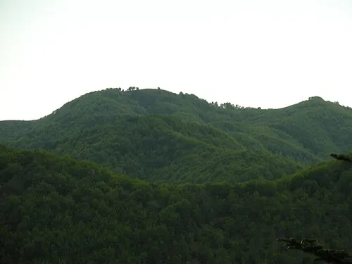 Caucaso Mountain, Favale di Malvaro11 km E
-
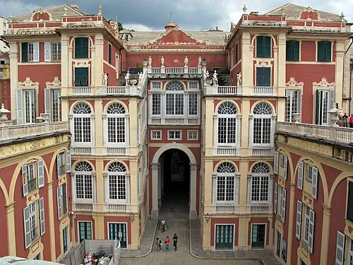 Museo di Palazzo Reale Museum, Genova14 km SW
-
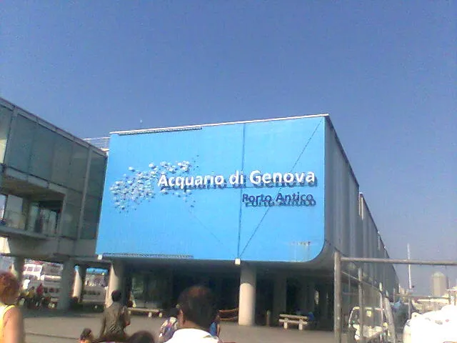 Aquarium of Genoa Attraction, Genova14 km SW
-
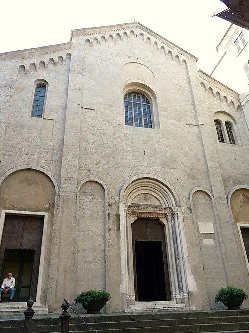 Chiesa di Santa Maria di Castello Attraction, Genova14 km SW
Sources & licences
Data last updated: