Monte Ortighera
Located in Dossena, Province of Bergamo Coordinates: 45°55′35″ N 9°41′54″ E
- Elevation
- 1,632 m
- above sea level
- Local time
- UTC+01:00
- Europe/Rome · UTC+01:00
- Airports
- BGY Il Caravaggio International Airport29 km
- LUG Lugano Airport62 km
About Monte Ortighera
Monte Ortighera is a mountain. Location: Dossena, Province of Bergamo. Elevation: 1,632 m. The best months to visit are July–August. The nearest airport is Il Caravaggio International Airport (29 km). Nearby sights include Monte Gioco and Monte Sornadello.
Photos of Monte Ortighera
-
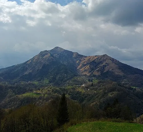
Monte Gioco MatthewGhera · CC BY 3.0

Climate of Monte Ortighera
Best months for sightseeingBest months for sightseeing: July–August.
This month · November
A cold month
Day 4° · Night -5° · Rain 65 mm
- Hottest month
- July (day 18°)
- Coldest month
- January (night -9°)
- Wettest month
- September (105 mm)
- Driest month
- February (33 mm)
Bars: average monthly low and high temperature. Below: precipitation. Monthly averages for 1970–2000 at about 18 km resolution, adjusted for elevation. Highlighted months are mild and relatively dry. Source: WorldClim 2.1 (CC BY 4.0).
Show values as a table
| Month | Jan | Feb | Mar | Apr | May | Jun | Jul | Aug | Sep | Oct | Nov | Dec |
|---|---|---|---|---|---|---|---|---|---|---|---|---|
| Average high (°C) | 0° | 1° | 4° | 7° | 12° | 16° | 18° | 18° | 14° | 9° | 4° | 1° |
| Average low (°C) | -9° | -9° | -5° | -2° | 3° | 6° | 8° | 8° | 5° | 0° | -5° | -8° |
| Precipitation (mm) | 48 | 33 | 52 | 75 | 102 | 101 | 88 | 98 | 105 | 98 | 65 | 43 |
How to get to Monte Ortighera
The nearest airport is Il Caravaggio International Airport (BGY), 29 km to the south as the crow flies. The nearest large city is Zurich, 183 km to the northwest.
Airports
- Il Caravaggio International Airport (BGY) Orio al Serio (BG) 29 kmsouth
- Lugano Airport (LUG) Agno 62 kmwest
- Milano Linate Airport (LIN) Segrate (MI) 63 kmsouthwest
Nearby large cities
- Zurich Population: 415.4K 183 kmnorthwest
- Winterthur Population: 111.8K 191 kmnorthwest
- Innsbruck Population: 132.5K 197 kmnortheast
- Bern Population: 121.6K 207 kmnorthwest
- Basel Population: 177.6K 243 kmnorthwest
Straight-line distances; road distances are longer. Airport data: OurAirports.
Day trips from Monte Ortighera
Within 100 km: 95 historic and cultural sites, 2,821 natural sites, 336 lakes, rivers and coasts.
0–25 km37 places
- Gruppo delle Grigne Mountain 24 kmW
- Pizzolto Mountain 24 kmNE
- Grignetta Mountain 24 kmW
- Pizzo d'Erna Mountain 21 kmW
25–60 km733 places
- Chaviolas Island 55 kmN
- Silvaplanersee Lake 59 kmN
- Lake Sils Lake 55 kmN
- Lago di Poschiavo Lake 50 kmNE
60–100 km2,482 places
- Spadalone Mountain 82 kmE
- Isole di Brissago Island 78 kmW
- Sant' Apollinare Island 78 kmW
- San Pancrazio Island 78 kmW
Straight-line distances.
Nearest towns and villages
-
Scalvino Village, Lenna2.4 km W
-
Lenna Municipality, Province of Bergamo2.5 km NW
-
Cantone San Francesco Village, Lenna2.1 km N
-
Lenna Village, Lenna2.4 km NW
-
Piazza Brembana Municipality, Province of Bergamo2.9 km NW
-
Cornamena Village, Lenna2.5 km NW
Nearby attractions & nature
Everything nearby-
Monte Gioco Mountain, Serina7.6 km S
-
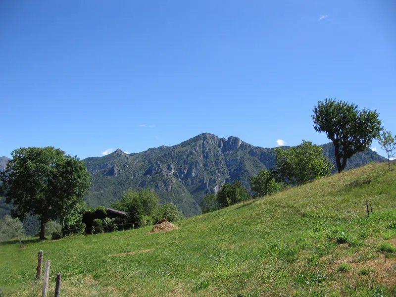 Monte Sornadello Mountain, San Giovanni Bianco9.7 km SW
-
Monte Molinasco Mountain, San Pellegrino Terme9.1 km SW
-
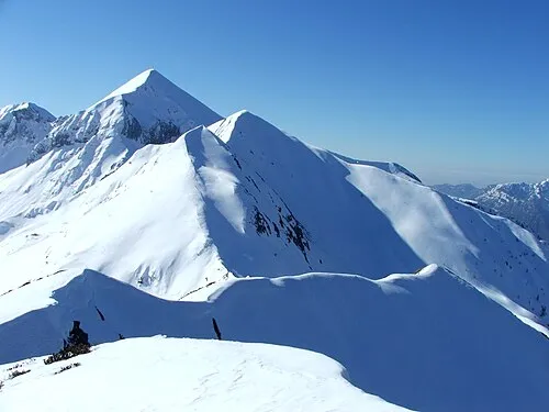 Monte Cavallo Mountain, Piazzatorre12 km N
-
Corna Maria Mountain, Algua9.6 km S
-
Monte Foldone Mountain, San Pellegrino Terme11 km SW
-
Castello Regina Mountain, Val Brembilla11 km SW
-
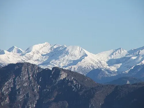 Corno Stella Mountain, Foppolo16 km NE
Sources & licences
Data last updated: · 2 independent sources