- Population
- 12
- 12
- Elevation
- 1,091 m
- above sea level
- Local time
- UTC+01:00
- Europe/Rome · UTC+01:00
- Airports
- BGY Il Caravaggio International Airport29 km
- LUG Lugano Airport47 km
About Medalunga
Medalunga is a village. Location: Morterone, Province of Lecco. Population: 12. Elevation: 1,091 m. The best months to visit are July–August. The nearest airport is Il Caravaggio International Airport (29 km). Nearby sights include Pizzo d'Erna and Zucco di Desio.
Photos of Medalunga
-
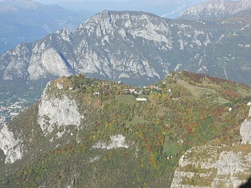
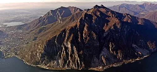
Pizzo d'Erna Resegun · CC BY-SA 3.0 -
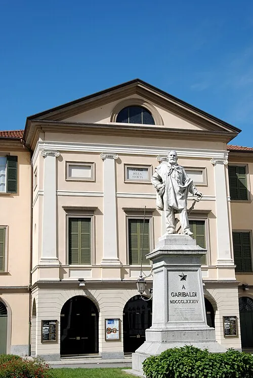
Teatro della Società Davide Oliva · CC BY-SA 2.0 -
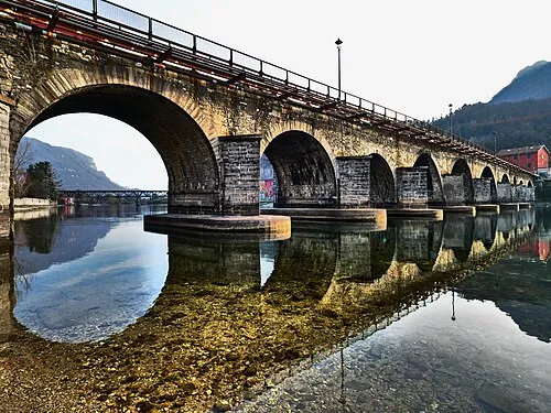
Ponte Azzone Visconti LucaPonti7030 · CC BY-SA 4.0


Climate of Medalunga
Best months for sightseeingBest months for sightseeing: July–August.
This month · November
A cold month
Day 7° · Night -1° · Rain 85 mm
- Hottest month
- July (day 22°)
- Coldest month
- January (night -5°)
- Wettest month
- September (130 mm)
- Driest month
- February (46 mm)
Bars: average monthly low and high temperature. Below: precipitation. Monthly averages for 1970–2000 at about 18 km resolution, adjusted for elevation. Highlighted months are mild and relatively dry. Source: WorldClim 2.1 (CC BY 4.0).
Show values as a table
| Month | Jan | Feb | Mar | Apr | May | Jun | Jul | Aug | Sep | Oct | Nov | Dec |
|---|---|---|---|---|---|---|---|---|---|---|---|---|
| Average high (°C) | 4° | 5° | 8° | 11° | 15° | 19° | 22° | 21° | 17° | 12° | 7° | 4° |
| Average low (°C) | -5° | -4° | -2° | 2° | 6° | 9° | 12° | 12° | 8° | 4° | -1° | -4° |
| Precipitation (mm) | 64 | 46 | 70 | 100 | 129 | 122 | 105 | 118 | 130 | 125 | 85 | 57 |
How to get to Medalunga
The nearest airport is Il Caravaggio International Airport (BGY), 29 km to the southeast as the crow flies. The nearest large city is Zurich, 180 km to the northwest.
Airports
- Il Caravaggio International Airport (BGY) Orio al Serio (BG) 29 kmsoutheast
- Lugano Airport (LUG) Agno 47 kmwest
- Milano Linate Airport (LIN) Segrate (MI) 51 kmsouth
Nearby large cities
- Zurich Population: 415.4K 180 kmnorthwest
- Winterthur Population: 111.8K 190 kmnorth
- Bern Population: 121.6K 197 kmnorthwest
- Innsbruck Population: 132.5K 212 kmnortheast
- Lausanne Population: 139.1K 231 kmwest
Straight-line distances; road distances are longer. Airport data: OurAirports.
Day trips from Medalunga
Within 100 km: 94 historic and cultural sites, 2,666 natural sites, 370 lakes, rivers and coasts.
0–25 km44 places
- Monte Nuvolone Mountain 21 kmW
- Gruppo delle Grigne Mountain 10 kmNW
- Grignetta Mountain 9 kmNW
- Pizzo d'Erna Mountain 4 kmSW
25–60 km596 places
- Laghetto di Muzzano Lake 45 kmW
- Lake Lugano Lake 42 kmW
- Lägh da Cavloc Lake 58 kmN
- Laghit de Agnon Lake 45 kmNW
60–100 km2,490 places
- Spadalone Mountain 100 kmE
- Lago Nero Lake 97 kmNW
- Isole di Brissago Island 64 kmNW
- Sant' Apollinare Island 65 kmNW
Straight-line distances.
Nearby attractions & nature
Everything nearby-
Pizzo d'Erna Mountain, Lecco3.7 km SW
-
Zucco di Desio Mountain, Cremeno3.8 km NW
-
Ponte Azzone Visconti Landmark, Lecco8 km SW
-
Teatro della Società Attraction, Lecco8 km W
-
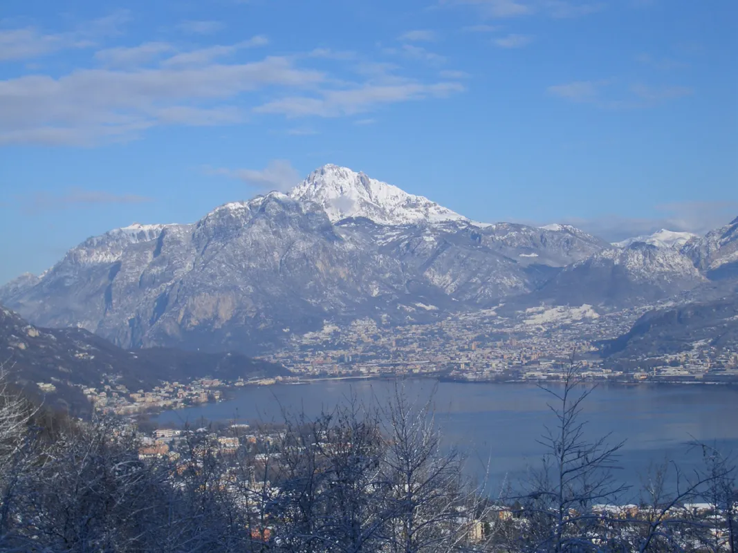 Grignetta Mountain, Mandello del Lario8.7 km NW
-
 Monte Moregallo Mountain, Valmadrera11 km W
Sources & licences
Data last updated: · 2 independent sources