- Population
- 2,985
- 3K
- Elevation
- 68 m
- above sea level
- Local time
- UTC+01:00
- Europe/Rome · UTC+01:00
- Places inside
- 3
- listed under Villanterio
- Airports
- LIN Milano Linate Airport26 km
- BGY Il Caravaggio International Airport57 km
About Villanterio
Villanterio is a municipality. Location: Province of Pavia, Lombardy. Population: 2,985. Elevation: 68 m. The best months to visit are May–July, September. The nearest airport is Milano Linate Airport (26 km). Nearby sights include Tempio Civico della Beata Vergine Incoronata and Certosa di Pavia.
Climate of Villanterio
Best months for sightseeingBest months for sightseeing: May–July, September.
This month · November
A cold month
Day 10° · Night 3° · Rain 74 mm
- Hottest month
- July (day 28°)
- Coldest month
- January (night -2°)
- Wettest month
- October (111 mm)
- Driest month
- July (46 mm)
Bars: average monthly low and high temperature. Below: precipitation. Monthly averages for 1970–2000 at about 18 km resolution, adjusted for elevation. Highlighted months are mild and relatively dry. Source: WorldClim 2.1 (CC BY 4.0).
Show values as a table
| Month | Jan | Feb | Mar | Apr | May | Jun | Jul | Aug | Sep | Oct | Nov | Dec |
|---|---|---|---|---|---|---|---|---|---|---|---|---|
| Average high (°C) | 5° | 8° | 14° | 17° | 22° | 26° | 28° | 28° | 24° | 18° | 10° | 6° |
| Average low (°C) | -2° | 0° | 3° | 7° | 11° | 15° | 17° | 17° | 14° | 9° | 3° | -1° |
| Precipitation (mm) | 65 | 47 | 60 | 73 | 82 | 68 | 46 | 72 | 77 | 111 | 74 | 56 |
Other places to visit in this season: May June July September
How to get to Villanterio
The nearest airport is Milano Linate Airport (LIN), 26 km to the north as the crow flies. The nearest large city is Nice, 237 km to the southwest.
Airports
- Milano Linate Airport (LIN) Segrate (MI) 26 kmnorth
- Il Caravaggio International Airport (BGY) Orio al Serio (BG) 57 kmnortheast
- Milan Malpensa International Airport (MXP) Ferno (VA) 68 kmnorthwest
Nearby large cities
- Nice Population: 342.7K 237 kmsouthwest
- Bern Population: 121.6K 243 kmnorthwest
- Zurich Population: 415.4K 247 kmnorth
- Lausanne Population: 139.1K 256 kmnorthwest
- Winterthur Population: 111.8K 259 kmnorth
Straight-line distances; road distances are longer. Airport data: OurAirports.
Day trips from Villanterio
Within 100 km: 83 historic and cultural sites, 273 natural sites, 20 lakes, rivers and coasts.
0–25 km11 places
- Fiume Ticino River 13 kmSW
- San Pietro in Ciel d'Oro Attraction 17 kmW
- San Michele Maggiore Attraction 17 kmW
- Certosa di Pavia Attraction 17 kmW
25–60 km42 places
- Monte Penice Mountain 48 kmS
- Monte Aserei Mountain 58 kmS
- Pietra Parcellara Mountain 43 kmS
- Cima Colletta Mountain 56 kmS
60–100 km323 places
- Rotteri Mountain 70 kmS
- Laghetto di Muzzano Lake 93 kmN
- Lake Lugano Lake 91 kmN
- Laghetto Lake 98 kmNW
Straight-line distances.
Places in Villanterio
3 placesBar: population relative to the most populous place in this list.
Nearby attractions & nature
Everything nearby-
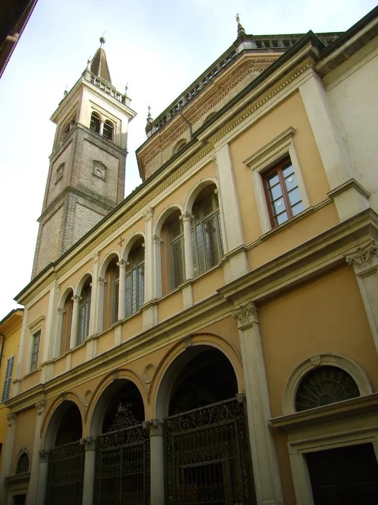 Tempio Civico della Beata Vergine Incoronata Attraction, Lodi15 km NE
-
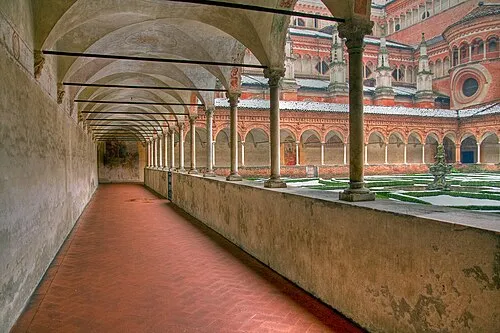 Certosa di Pavia Attraction, Certosa di Pavia17 km W
-
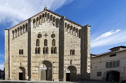 San Michele Maggiore Attraction, Pavia17 km W
-
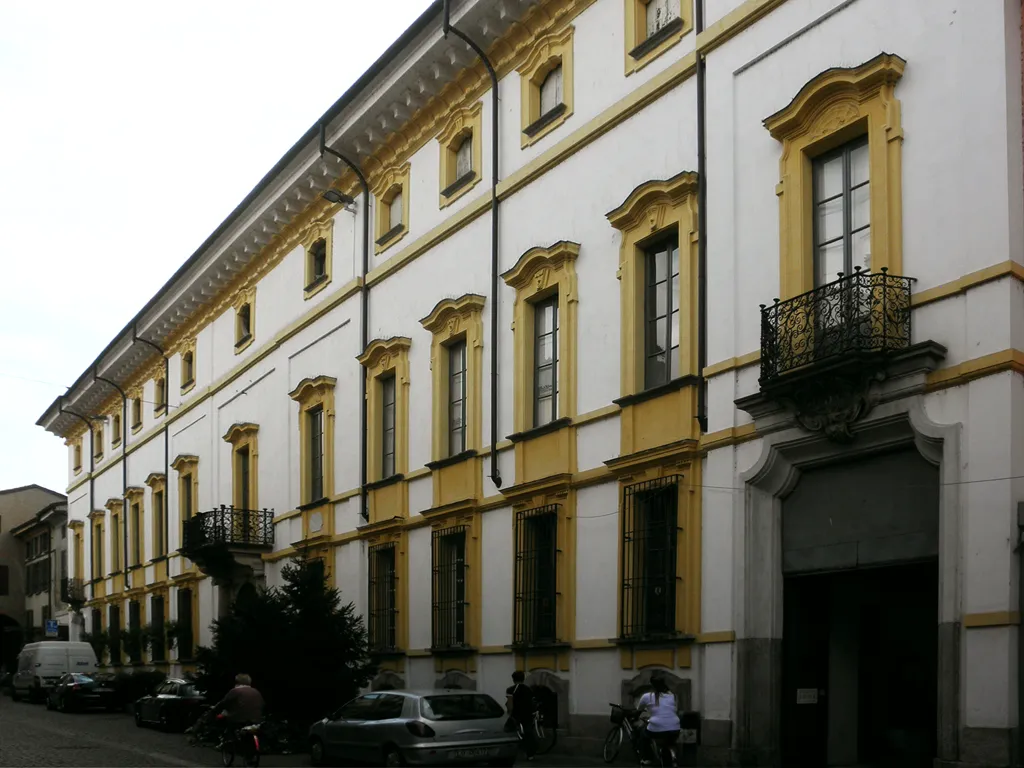 Palazzo Barni Historic site, Lodi15 km NE
-
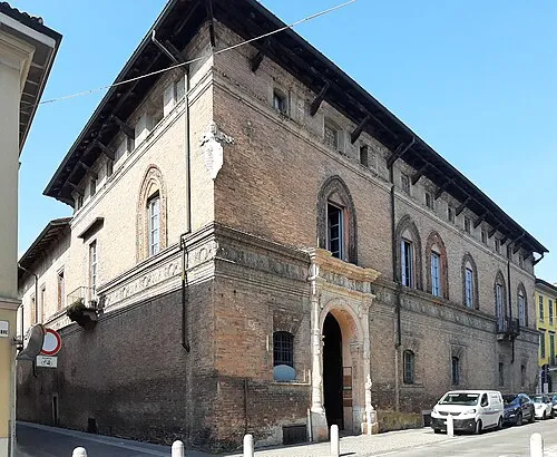 Palazzo Mozzanica Historic site, Lodi15 km NE
-
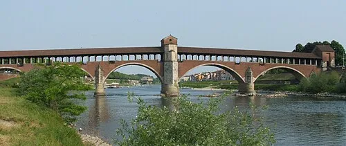 Ponte Coperto Landmark, Pavia17 km W
-
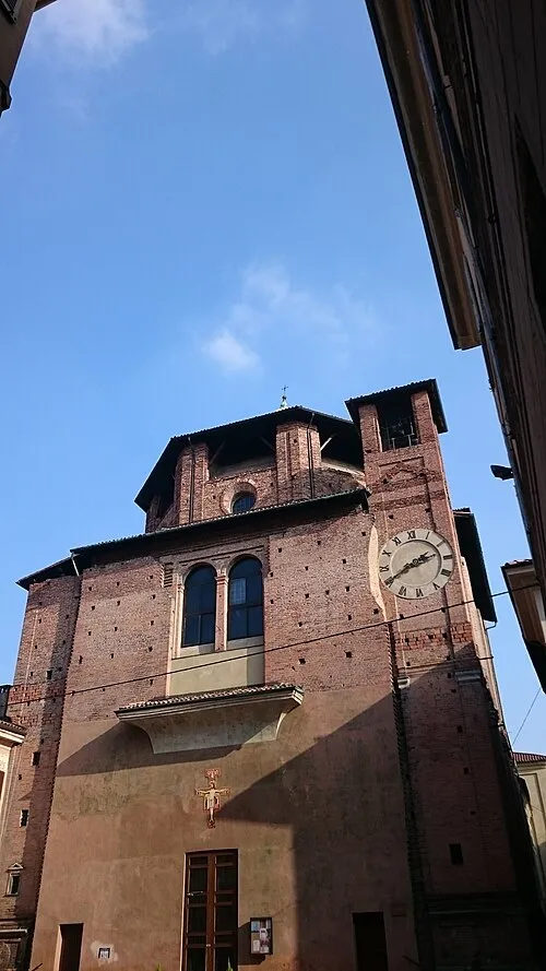 Santa Maria di Canepanova Attraction, Pavia17 km W
-
San Pietro in Ciel d'Oro Attraction, Pavia17 km W
Sources & licences
Data last updated: