- Population
- 2,370
- 2.4K
- Elevation
- 550 m
- above sea level
- Local time
- UTC+01:00
- Europe/Rome · UTC+01:00
- Places inside
- 6
- listed under Pralungo
- Airports
- TRN Turin Airport53 km
- MXP Milan Malpensa International Airport54 km
About Pralungo
Pralungo is a municipality. Location: Province of Biella, Piedmont. Population: 2,370. Elevation: 550 m. The best months to visit are June–September. The nearest airport is Turin Airport (53 km). Nearby sights include Cima Cucco and Monte Cucco.
Climate of Pralungo
Best months for sightseeingBest months for sightseeing: June–September.
This month · November
A cold month
Day 10° · Night 1° · Rain 64 mm
- Hottest month
- July (day 26°)
- Coldest month
- January (night -3°)
- Wettest month
- May (119 mm)
- Driest month
- December (42 mm)
Bars: average monthly low and high temperature. Below: precipitation. Monthly averages for 1970–2000 at about 18 km resolution, adjusted for elevation. Highlighted months are mild and relatively dry. Source: WorldClim 2.1 (CC BY 4.0).
Show values as a table
| Month | Jan | Feb | Mar | Apr | May | Jun | Jul | Aug | Sep | Oct | Nov | Dec |
|---|---|---|---|---|---|---|---|---|---|---|---|---|
| Average high (°C) | 6° | 7° | 12° | 15° | 19° | 23° | 26° | 25° | 21° | 15° | 10° | 6° |
| Average low (°C) | -3° | -2° | 1° | 3° | 8° | 12° | 15° | 15° | 11° | 6° | 1° | -2° |
| Precipitation (mm) | 47 | 51 | 68 | 88 | 119 | 91 | 62 | 86 | 75 | 89 | 64 | 42 |
Other places to visit in this season: June July August September
How to get to Pralungo
The nearest airport is Turin Airport (TRN), 53 km to the southwest as the crow flies. The nearest large city is Lausanne, 150 km to the northwest.
Airports
- Turin Airport (TRN) Caselle Torinese (TO) 53 kmsouthwest
- Milan Malpensa International Airport (MXP) Ferno (VA) 54 kmeast
- Lugano Airport (LUG) Agno 82 kmnortheast
Nearby large cities
- Lausanne Population: 139.1K 150 kmnorthwest
- Bern Population: 121.6K 158 kmnorth
- Geneva Population: 201.7K 162 kmnorthwest
- Grenoble Population: 158.6K 188 kmwest
- Zurich Population: 415.4K 201 kmnorth
Straight-line distances; road distances are longer. Airport data: OurAirports.
Day trips from Pralungo
Within 100 km: 94 historic and cultural sites, 2,607 natural sites, 307 lakes, rivers and coasts.
0–25 km99 places
- Corno Rosso Mountain 23 kmNW
- Punta Berretta del Vescovo Mountain 20 kmNW
- Frate della Meia Mountain 21 kmNW
- Punta delle Vecchia Mountain 15 kmNW
25–60 km491 places
- Stausee Mattmark Lake 50 kmN
- Gornergratsee Lake 48 kmNW
- Stellisee Lake 51 kmN
- Theodulgletschersee Lake 49 kmNW
60–100 km2,418 places
- Isole di Brissago Island 81 kmNE
- Sant' Apollinare Island 81 kmNE
- San Pancrazio Island 81 kmNE
- Laghetto di Muzzano Lake 83 kmNE
Straight-line distances.
Places in Pralungo
6 placesBar: population relative to the most populous place in this list.
Nearby attractions & nature
Everything nearby-
Cima Cucco Mountain, Sagliano Micca4.4 km NW
-
Monte Cucco Mountain, Biella5.5 km NW
-
Monte Muanda Mountain, Occhieppo Superiore5.9 km W
-
Monte Cimone Mountain, Biella6 km NW
-
Monte Becco Mountain, Biella6.3 km NW
-
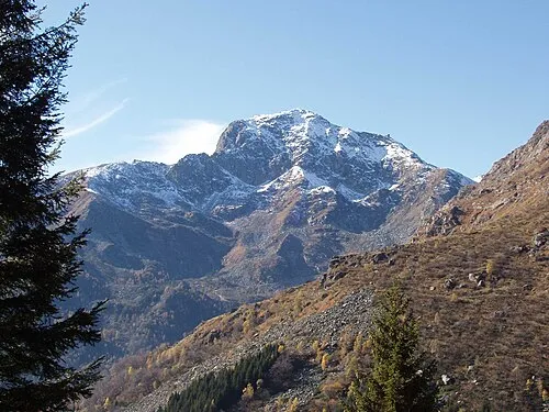 Monte Mucrone Mountain, Biella8 km NW
-
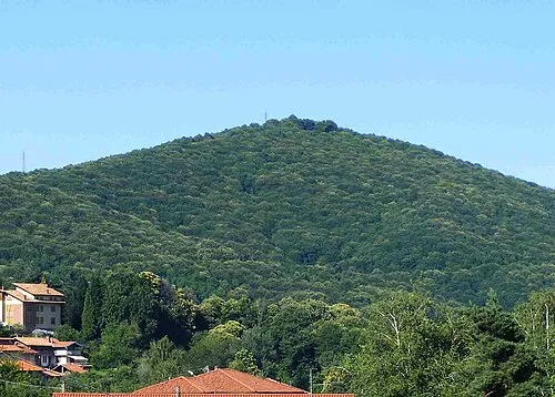 Monte Rovella Mountain, Valle San Nicolao8.2 km NE
-
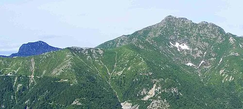 Monte Tovo Mountain, Andorno Micca8.6 km NW
Sources & licences
Data last updated: